
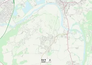
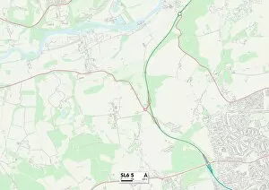
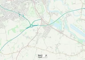
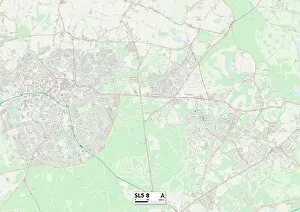
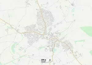
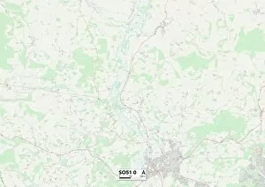
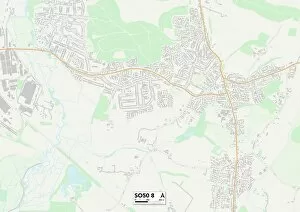
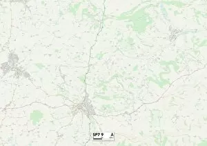
New Road Collection (#7)
"Exploring the Uncharted: Embarking on New Roads" Discovering hidden gems and unexplored territories, these maps unveil a world of possibilities


For sale as Licensed Images
Choose your image, Select your licence and Download the media
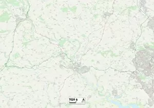
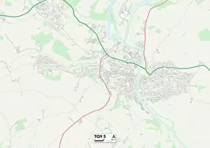
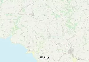
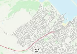
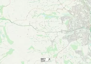
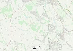
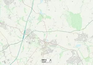
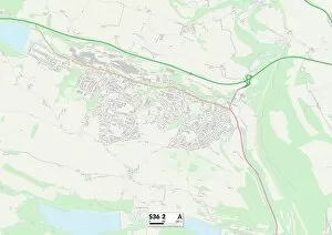
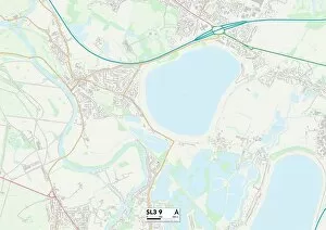
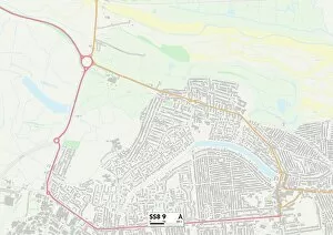
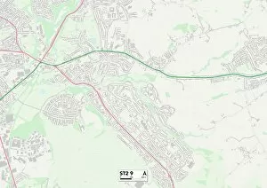
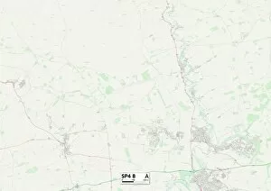
"Exploring the Uncharted: Embarking on New Roads" Discovering hidden gems and unexplored territories, these maps unveil a world of possibilities. From the rugged landscapes of Shetland ZE2 9 to the picturesque Kinross-Shire KY13 9, each destination promises an adventure like no other. Traverse through the enchanting East Riding of Yorkshire YO43 4, where rolling hills meet quaint villages, or lose yourself in the captivating Scottish Borders TD11 3 with its rich history and breathtaking vistas. Journey to Mole Valley RH5 5, a haven for nature enthusiasts seeking solace amidst lush greenery. Or immerse yourself in Melton LE14 2's vibrant culture and warm hospitality. Feel the salty breeze against your face as you explore Weymouth and Portland DT4 8's stunning coastal beauty. In Newmarket CB8 8, witness equestrian excellence at its finest or indulge in Cheshire East SK10 4's charming countryside charm. Uncover secrets within Shropshire TF9 2's idyllic landscapes before venturing into Wolverhampton WV10-7 & WV10-8 - bustling cities that blend tradition with modernity. With every turn on these new roads comes endless opportunities for discovery and growth. Embrace this journey into the unknown; let curiosity be your compass as you navigate through uncharted territory.