Physical Geography Collection (#98)

"Exploring the Diverse Landscapes

Background imagePhysical Geography Collection: Antique map of the Gulf of Suez with Egypt and Israel

Antique map of the Gulf of Suez with Egypt and Israel

Background imagePhysical Geography Collection: Antique document and map

Antique document and map

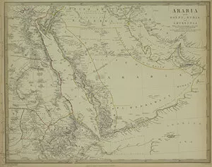
Background imagePhysical Geography Collection: Antique map of Arabia with Egypt, Nubia, and Abyssinia

Antique map of Arabia with Egypt, Nubia, and Abyssinia

Background imagePhysical Geography Collection: Antique map of Turkish dominions in Europe

Antique map of Turkish dominions in Europe

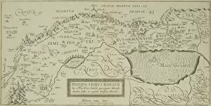
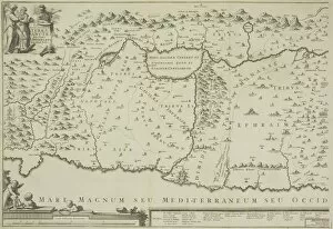
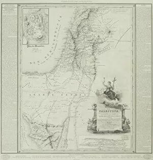
Background imagePhysical Geography Collection: Antique map of the holy land with the Sea of Galilee

Antique map of the holy land with the Sea of Galilee

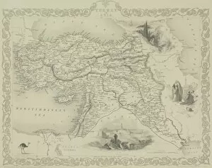
Background imagePhysical Geography Collection: Antique map of Turkey and the Black Sea

Antique map of Turkey and the Black Sea

Background imagePhysical Geography Collection: Antique map of holy land with Nile River Delta

Antique map of holy land with Nile River Delta

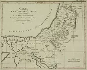
Background imagePhysical Geography Collection: Antique map of the holy land

Antique map of the holy land

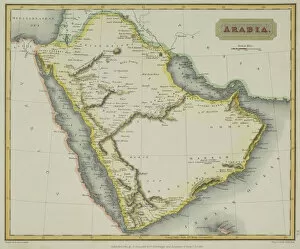
Background imagePhysical Geography Collection: Antique map of Arabia

Antique map of Arabia

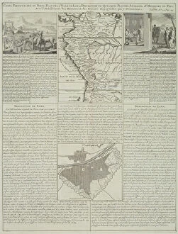
Background imagePhysical Geography Collection: Antique map of Peru and Ecuador with plans for Lima

Antique map of Peru and Ecuador with plans for Lima

Background imagePhysical Geography Collection: Antique map of the Gulf of Suez and Mount Sinai

Antique map of the Gulf of Suez and Mount Sinai

Background imagePhysical Geography Collection: Antique map of Western Australia and the Swan River

Antique map of Western Australia and the Swan River

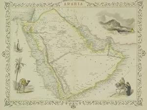
Background imagePhysical Geography Collection: Antique map of Arabia with vignettes

Antique map of Arabia with vignettes

Background imagePhysical Geography Collection: Antique map of the holy land of Sinai peninsula

Antique map of the holy land of Sinai peninsula

Background imagePhysical Geography Collection: Antique map of Polynesia with vignettes

Antique map of Polynesia with vignettes

Background imagePhysical Geography Collection: Antique maps of New Zealand

Antique maps of New Zealand

Background imagePhysical Geography Collection: Antique map of Turkey with vignettes

Antique map of Turkey with vignettes

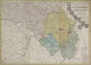
Background imagePhysical Geography Collection: Antique map of Silesia

Antique map of Silesia

Background imagePhysical Geography Collection: Antique print of city of Loango in the Congo, Africa

Antique print of city of Loango in the Congo, Africa

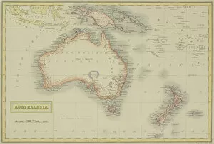
Background imagePhysical Geography Collection: Antique map of Australasia

Antique map of Australasia

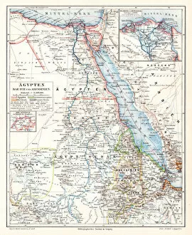
Background imagePhysical Geography Collection: Egypt Darfur Abyssinian map 1895

Egypt Darfur Abyssinian map 1895
Meyers Konversations-Lexikon. Ein Nachschlagewerk des allgemeinen Wissens, 5th edition 17 volumes Bibliographisches Institut - Leipzig 1895-1897
Background imagePhysical Geography Collection: Alps geological map 1895

Alps geological map 1895
Meyers Konversations-Lexikon. Ein Nachschlagewerk des allgemeinen Wissens, 5th edition 17 volumes Bibliographisches Institut - Leipzig 1895-1897

Background imagePhysical Geography Collection: Szczecin Poland map 1895

Szczecin Poland map 1895
Meyers Konversations-Lexikon. Ein Nachschlagewerk des allgemeinen Wissens, 5th edition 17 volumes Bibliographisches Institut - Leipzig 1895-1897

Background imagePhysical Geography Collection: Stockholm Sweden map 1895

Stockholm Sweden map 1895
Meyers Konversations-Lexikon. Ein Nachschlagewerk des allgemeinen Wissens, 5th edition 17 volumes Bibliographisches Institut - Leipzig 1895-1897

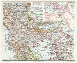
Background imagePhysical Geography Collection: Turkey map 1895

Turkey map 1895
Meyers Konversations-Lexikon. Ein Nachschlagewerk des allgemeinen Wissens, 5th edition 17 volumes Bibliographisches Institut - Leipzig 1895-1897

Background imagePhysical Geography Collection: Geographical distribution of animals map 1895

Geographical distribution of animals map 1895
Meyers Konversations-Lexikon. Ein Nachschlagewerk des allgemeinen Wissens, 5th edition 17 volumes Bibliographisches Institut - Leipzig 1895-1897

Background imagePhysical Geography Collection: Thuringia Germany map 1895

Thuringia Germany map 1895
Meyers Konversations-Lexikon. Ein Nachschlagewerk des allgemeinen Wissens, 5th edition 17 volumes Bibliographisches Institut - Leipzig 1895-1897

Background imagePhysical Geography Collection: Styria Austria map 1895

Styria Austria map 1895
Meyers Konversations-Lexikon. Ein Nachschlagewerk des allgemeinen Wissens, 5th edition 17 volumes Bibliographisches Institut - Leipzig 1895-1897

Background imagePhysical Geography Collection: World spread of hardwood map 1895

World spread of hardwood map 1895
Meyers Konversations-Lexikon. Ein Nachschlagewerk des allgemeinen Wissens, 5th edition 17 volumes Bibliographisches Institut - Leipzig 1895-1897

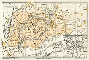
Background imagePhysical Geography Collection: Strasbourg map 1895

Strasbourg map 1895
Meyers Konversations-Lexikon. Ein Nachschlagewerk des allgemeinen Wissens, 5th edition 17 volumes Bibliographisches Institut - Leipzig 1895-1897

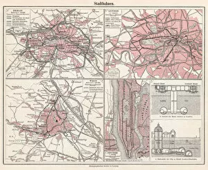
Background imagePhysical Geography Collection: City railways map 1895

City railways map 1895
Meyers Konversations-Lexikon. Ein Nachschlagewerk des allgemeinen Wissens, 5th edition 17 volumes Bibliographisches Institut - Leipzig 1895-1897

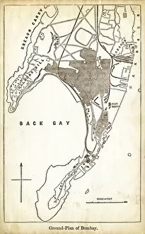
Background imagePhysical Geography Collection: Map of Mumbay India engraving 1878

Map of Mumbay India engraving 1878
Encyclopedia Britannica 9th Edition Vol II New York, Samuel Hall 1878

Background imagePhysical Geography Collection: Map of Buenos Aires Argentina 1878

Map of Buenos Aires Argentina 1878
Encyclopedia Britannica 9th Edition Vol II New York, Samuel Hall 1878

Background imagePhysical Geography Collection: Map of Burgundy 1878

Map of Burgundy 1878
Encyclopedia Britannica 9th Edition Vol II New York, Samuel Hall 1878

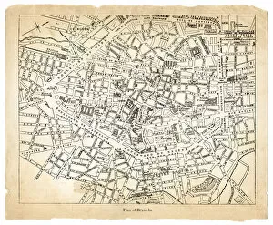
Background imagePhysical Geography Collection: Map of Brussels 1878

Map of Brussels 1878
Encyclopedia Britannica 9th Edition Vol II New York, Samuel Hall 1878

Background imagePhysical Geography Collection: Africa map 1878

Africa map 1878
Encyclopedia Britannica 9th Edition Vol I New York, Samuel Hall 1878

Background imagePhysical Geography Collection: Alabama map 1878

Alabama map 1878
Encyclopedia Britannica 9th Edition Vol I New York, Samuel Hall 1878

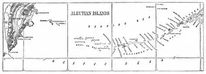
Background imagePhysical Geography Collection: Aleutian islands map 1878

Aleutian islands map 1878
Encyclopedia Britannica 9th Edition Vol I New York, Samuel Hall 1878

Background imagePhysical Geography Collection: Alexandria map 1878

Alexandria map 1878
Encyclopedia Britannica 9th Edition Vol I New York, Samuel Hall 1878

Background imagePhysical Geography Collection: North America map 1878

North America map 1878
Encyclopedia Britannica 9th Edition Vol I New York, Samuel Hall 1878

Background imagePhysical Geography Collection: South America map 1878

South America map 1878
Encyclopedia Britannica 9th Edition Vol I New York, Samuel Hall 1878

Background imagePhysical Geography Collection: Glacier lithograph 1895

Glacier lithograph 1895
Encyclopedia Britannica 9th Edition Vol I New York, Samuel Hall 1878

Background imagePhysical Geography Collection: Genoa Itlay map 1895

Genoa Itlay map 1895
Encyclopedia Britannica 9th Edition Vol I New York, Samuel Hall 1878

Background imagePhysical Geography Collection: Asia map 1867

Asia map 1867
Mitchellas Modern Atlas - Published by E.H. Butler and Co - Philadelphia 1867

Background imagePhysical Geography Collection: Ohio Indiana Illinois map 1867

Ohio Indiana Illinois map 1867
Mitchellas Modern Atlas - Published by E.H. Butler and Co - Philadelphia 1867

Background imagePhysical Geography Collection: Colombia Ecuador Venezuela map 1867

Colombia Ecuador Venezuela map 1867
Mitchellas Modern Atlas - Published by E.H. Butler and Co - Philadelphia 1867

Background imagePhysical Geography Collection: Spain France Portugal map 1867

Spain France Portugal map 1867
Mitchellas Modern Atlas - Published by E.H. Butler and Co - Philadelphia 1867

Background imagePhysical Geography Collection: Austria Switzerland Italy map 1867

Austria Switzerland Italy map 1867
Mitchellas Modern Atlas - Published by E.H. Butler and Co - Philadelphia 1867


For sale as Licensed Images

Choose your image, Select your licence and Download the media

"Exploring the Diverse Landscapes: A Journey through Physical Geography" Embark on a captivating journey through physical geography as we delve into the intricate details of our world's diverse landscapes. From the political map of Africa, showcasing its nations and boundaries, to Mappa Mundi - an exquisite ink and color creation from 1265 London that offers a glimpse into medieval cartography. Travel back in time with the antique maps such as Map of Ireland (1897), Great Britain and Ireland (1867), Sicily (1895), Palestine (1875), and even Tasmania. These historical artifacts not only provide geographical information but also offer insights into how our understanding of land has evolved over centuries. Discover the wonders hidden within Antarctica as you explore a unique map overlaid with illustrations of sea gulls, penguins, elephant seals, shrimp, and buildings. Witness China unfold before your eyes through its intricately detailed map or marvel at Earth's tectonic plates marked by lines on a global scale. Experience rare moments captured by nature itself like never before – witness a snow-covered United Kingdom during January 2010 or immerse yourself in Earth's topographic and bathymetric features depicted meticulously on one single map. Physical geography is more than just studying landforms; it is about unraveling stories etched onto every inch of our planet's surface. Join us on this fascinating expedition where maps become windows to exploration, knowledge, and appreciation for the remarkable diversity that exists right beneath our feet.