
Political Map Collection (#3)
"Exploring the World through Political Maps: From Arctic to Antarctica" Discover the intricate political landscape of Africa with this detailed political map


For sale as Licensed Images
Choose your image, Select your licence and Download the media
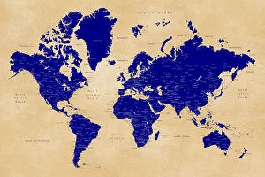
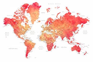
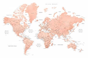
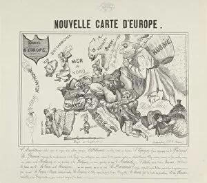
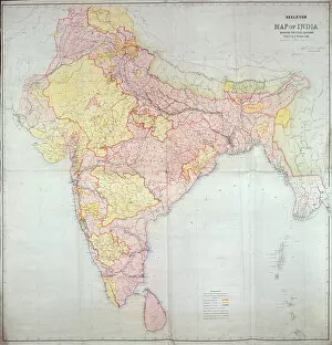
"Exploring the World through Political Maps: From Arctic to Antarctica" Discover the intricate political landscape of Africa with this detailed political map, showcasing its diverse nations and boundaries. Embark on a cartographic journey to the Arctic Ocean, where no people reside but geopolitics shape the region's future. Unveil the Middle East's complex political dynamics with an azimuthal equal area projection map that highlights its connections to the Indian Ocean and Antarctica. Delve into Melanesia's geography with a compass rose-adorned map, revealing its position in relation to the Indian Ocean and employing Mercator projection for accuracy. Travel back in time with a vintage lithograph depicting Africa's treaty boundaries from 1891, offering insights into historical geopolitical agreements. Explore West Indies and Caribbean islands through a neutral yet comprehensive map, providing valuable information about their geographical features and political divisions. Dive into Europe's intricacies with a highly detailed map that presents neutral perspectives on its countries' borders and territories. Navigate through every corner of the United States using Jimmy - a highly detailed map capturing not only land but also Caribbean waters for comprehensive exploration. Immerse yourself in Oriole - another highly detailed US map showcasing every nook and cranny of this vast nation, allowing you to uncover hidden gems across states and regions. Experience Camo - an exquisitely crafted highly detailed US map designed to reveal even minute details of America's landscapes, cities, highways, and natural wonders. These captivating maps offer glimpses into our world’s ever-evolving geopolitical realities while celebrating cartography as both art form and scientific tool for understanding our planet better than ever before.