
Potomac River Collection (page 5)
The Potomac River: A Historic Waterway Connecting Nations and Generations Flowing gracefully beneath the iconic Key Bridge


For sale as Licensed Images
Choose your image, Select your licence and Download the media
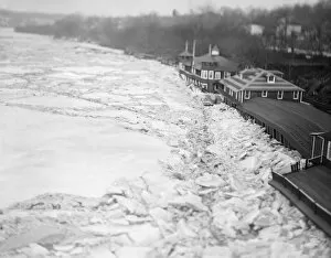
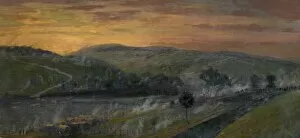
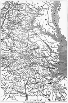
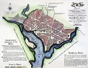
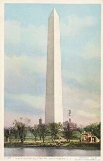
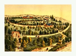
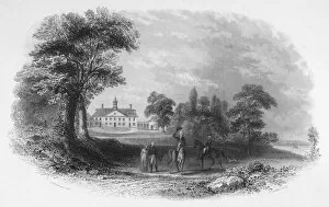
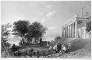
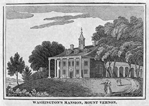
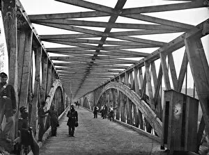
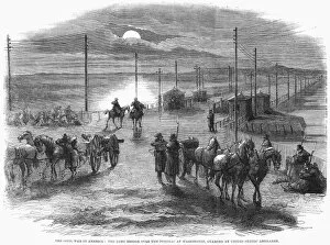
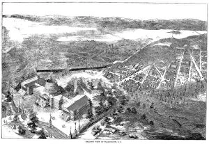
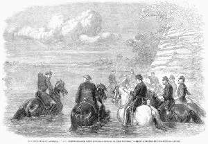
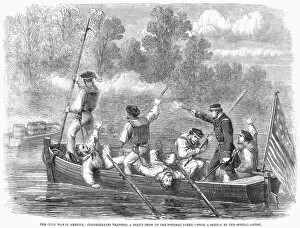
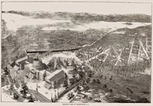
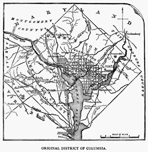
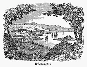
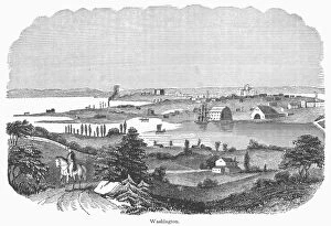
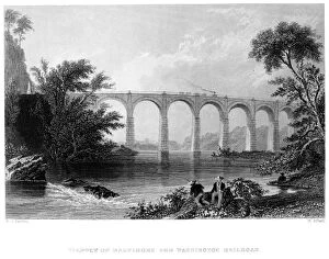
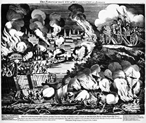
The Potomac River: A Historic Waterway Connecting Nations and Generations Flowing gracefully beneath the iconic Key Bridge, the Potomac River weaves its way through the heart of Washington DC, serving as a silent witness to centuries of history. From its humble beginnings at Georgetown University to its majestic presence on Roosevelt Island, this mighty river has played an integral role in shaping the landscape and identity of our nation's capital. As early as 1793, when Pierre Charles L'Enfant designed the Plan of Washington DC, he recognized the significance of the Potomac River in his vision for a grand city. Fast forward to 1880, where a bird's-eye view captured from its banks showcases a bustling metropolis emerging before our eyes. Virginia and Maryland settlers first laid claim to these fertile lands along the Potomac in 1738. Little did they know that their actions would set in motion events that would forever shape American history. During the Civil War, this historic waterway witnessed both triumphs and tragedies as it flowed past battlefields and encampments. Today, visitors can admire breathtaking views from iconic landmarks such as the Lincoln Memorial and Washington Monument while standing on its shores. The flooding that occurred in March 1936 serves as a reminder of nature's power but also highlights humanity's resilience. Memorial Bridge stands proudly across this great river - an architectural marvel connecting Virginia with Washington DC since ca. 1943 - symbolizing unity between states divided by waters once traversed by pontoon bridges during times of war. Venturing beyond urban landscapes reveals another side to this natural wonder; kayakers navigate thrilling rapids at Great Falls while witnessing firsthand how time has shaped these ancient rock formations. Further upstream lies Harpers Ferry where two rivers converge - Shenandoah meeting Potomac - mirroring America's own journey towards unity after years of conflict.