
Reading Road Collection
"Embark on a literary journey with the Reading Road


For sale as Licensed Images
Choose your image, Select your licence and Download the media
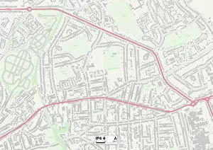
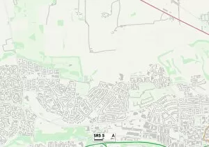
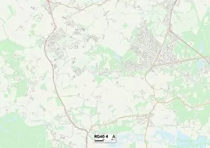
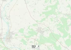
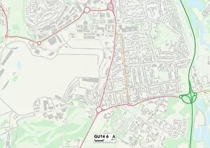
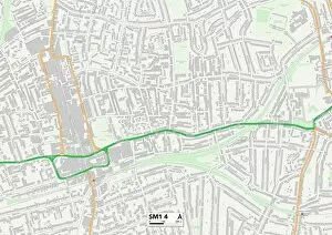
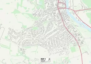
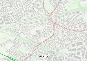
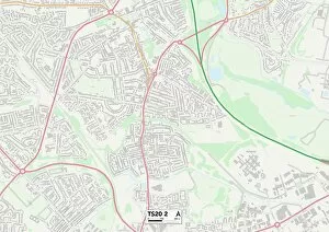
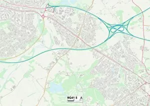
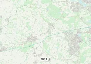
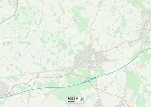
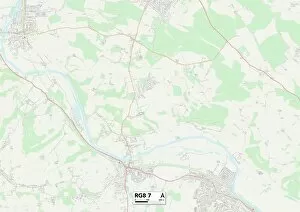
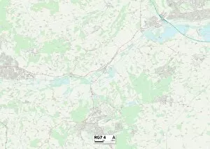
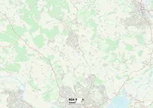
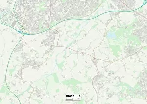
"Embark on a literary journey with the Reading Road. 📚✨ Explore Ipswich, Sunderland, South Oxfordshire, Rushmoor, Sutton and more through the pages of captivating stories. 🌍📖 Let the maps of Ipswich IP4 4, Sunderland SR5 5, South Oxfordshire OX10 9 and RG8 0 guide you to hidden treasures within these enchanting towns. 🗺️ Lose yourself in the rich narratives that unfold along Rushmoor GU14 6 and Sutton SM1 4. Discover new worlds as you navigate through South Oxfordshire RG9 1 and Ealing UB5 4. Immerse yourself in tales that transport you to Stockton-on-Tees TS20 2 and Wokingham RG41 5. Uncover mysteries tucked away in Hampshire RG27 8 and RG27 9. Join us on this literary expedition down the Reading Road – where each turn brings a new chapter waiting to be explored. "