
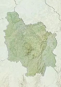
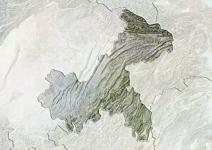
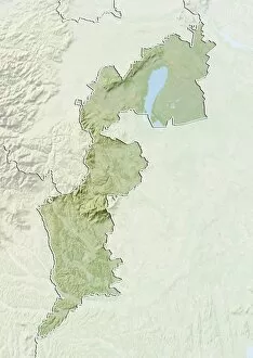
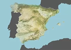
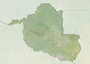
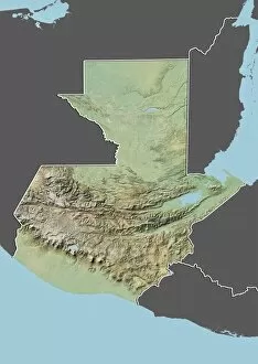
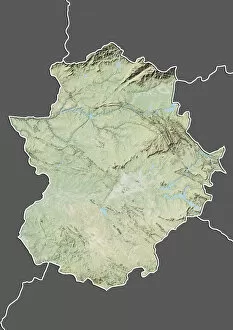
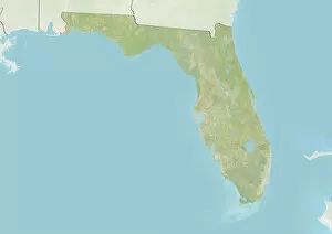
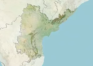
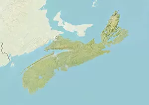
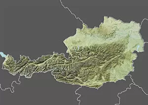
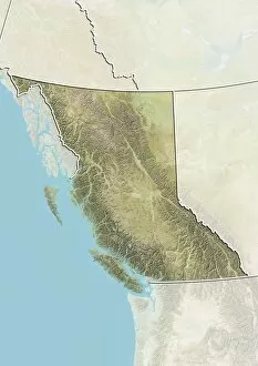
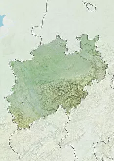
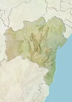
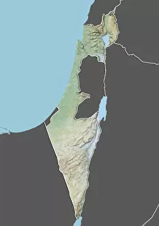
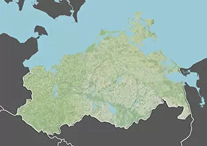
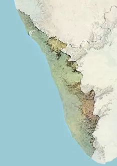
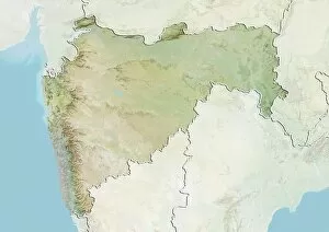
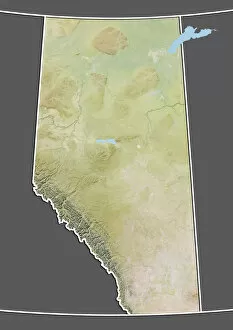
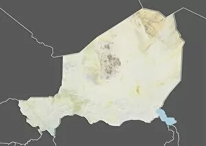
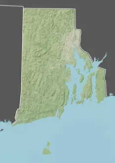
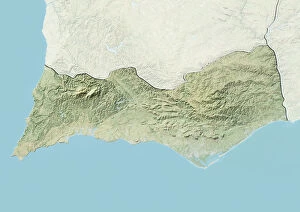
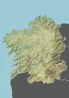
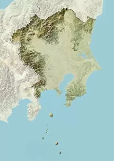
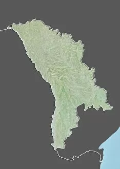
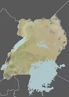
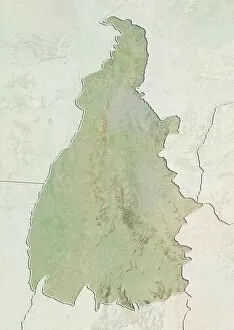
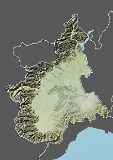
Relief Map Collection (#9)
"Exploring the World's Diverse Landscapes: A Journey through Relief Maps" Embark on a captivating journey as we delve into the fascinating world of relief maps


For sale as Licensed Images
Choose your image, Select your licence and Download the media
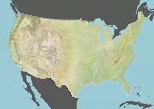
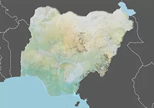
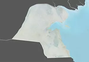
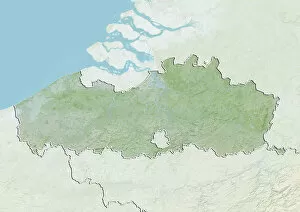
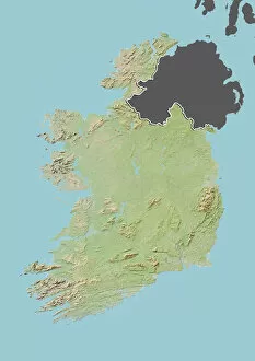
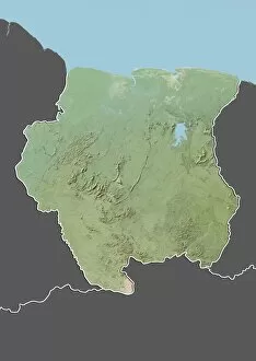
"Exploring the World's Diverse Landscapes: A Journey through Relief Maps" Embark on a captivating journey as we delve into the fascinating world of relief maps, showcasing stunning landscapes from various corners of the globe. From Scotland's rugged terrain to Romania's enchanting beauty, these satellite images provide us with a unique perspective. Discover the intricacies of the United Kingdom and Eire through an intricate relief map that highlights its diverse topography. Meanwhile, in France's Departement of Ille-et-Vilaine, witness how this relief map unravels the region's breathtaking features. Take a step further and explore an illustration depicting the British Isles' remarkable relief map. Marvel at its mountains, valleys, and rivers that shape this picturesque landscape. Venture southward to Niger and Turkey where satellite images offer a glimpse into their distinctive terrains. Navigate through geographical elements such as compass rose, equator, Indian Ocean, and international dateline while exploring maps that showcase Melanesia’s charm. Witness how these elements intertwine with each other like puzzle pieces on our planet Earth rendered in 3D form centered around Africa and Europe. Travel across North America with a river and mountains map that unveils nature’s grandeur in this vast continent. Immerse yourself in history by examining antique maps featuring Algeria & Tunisia or Italy – capturing moments frozen in time. Through these mesmerizing relief maps spanning continents afar or lands close to home; one can truly appreciate Earth’s boundless beauty etched upon its surface for all to behold.