
Separate Countries Collection
"Exploring the Rich Tapestry of Separate Countries: From Lace-Workers to Birdwatchers" In the depths of an interior lace-worker's workshop


For sale as Licensed Images
Choose your image, Select your licence and Download the media
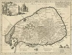
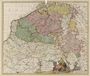
"Exploring the Rich Tapestry of Separate Countries: From Lace-Workers to Birdwatchers" In the depths of an interior lace-worker's workshop, a visitor immerses himself in a world of delicate artistry. With his bent small book in hand, he unravels the secrets hidden within each intricate thread. A picturesque genre scene unfolds before our eyes as elegant young couples gather amidst nature's splendor. Birdwatchers rejoice, capturing fleeting moments with their lenses, celebrating the diverse avian species that grace separate countries. In a local sissy model's diary, long-held dreams and aspirations find solace on its pages. Targets are set high as this courageous individual paves their own path through life's alleyways. As we examine a floor plan battle between countries, lines are drawn and territories claimed. The print in the upper right corner reveals stories untold - tales of triumphs and losses etched into history. Maps become windows to distant lands; East Frisia beckons us with its typus Frisiae orientalis title while Japan unveils itself through Iaponia's captivating imagery encompassing its surrounding sea. Venturing further into Palestine VII Palaestina map, we witness divisions unfold as separate countries emerge within this ancient land. Southern parts reveal maps depicting distinct nations coexisting side by side. Jerusalem takes center stage in an 11th-century map showcasing not only its grandeur but also the majestic mountains encircling it – reminding us that even within one city lie multiple narratives waiting to be discovered. Cilicia Cyprus stands proud on another map bearing its title object; these two regions intertwine yet remain separate countries with unique identities worth exploring. Sicily awaits our arrival too – Sicilia Insula invites us to uncover her mysteries from the print in the upper right Pag corner. Syria Egypt shares borders on yet another map titled Syria Aegypti Delta; here, the two nations coexist while maintaining their individuality.