
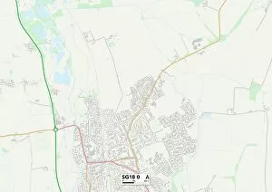
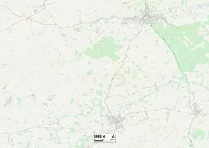
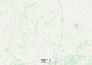
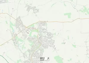
St Andrews Close Collection
Discover the charm of St Andrews Close, a hidden gem in various locations across the UK


For sale as Licensed Images
Choose your image, Select your licence and Download the media
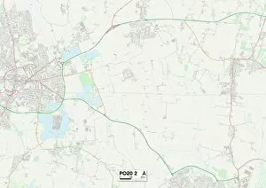
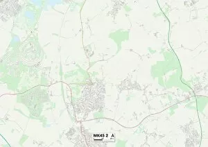
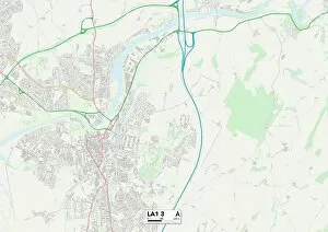
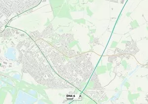
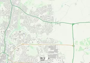
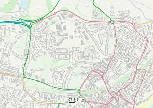
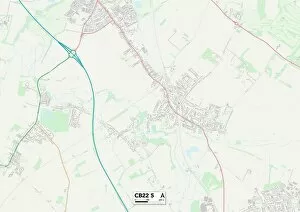
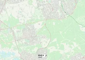
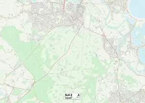
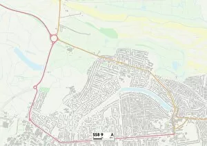
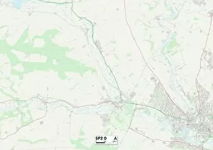
Discover the charm of St Andrews Close, a hidden gem in various locations across the UK. From South Ribble PR25 3 to Wolverhampton WV6 0, this quaint neighborhood offers a peaceful retreat for residents. Nestled in Somerset TA10 0 and East Riding of Yorkshire YO25 9, it boasts picturesque landscapes that will take your breath away. With its convenient location in West Norfolk PE33 9 and Bedford MK45 2, you'll have easy access to amenities and attractions nearby. Immerse yourself in history as you explore Lancaster LA1 3 and Doncaster DN4 6, where ancient architecture meets modern living. Enjoy the vibrant community spirit found in Darlington DL1 2 and Folkestone CT19 5, where neighbors become friends. For those seeking knowledge and culture, Cambridge CB22 is just a stone's throw away with its prestigious university. No matter which St Andrews Close you choose to call home or visit on your travels, each one offers a unique experience that captures the essence of its surroundings. So why not embark on an adventure through these diverse locales? Let St Andrews Close be your guide as you navigate through different maps – from South Ribble PR25 to Birmingham B32 – uncovering new horizons along the way.