
Stanley Avenue Collection
"Stanley Avenue: A Journey Across the Maps" Embarking on a virtual tour, we explore Stanley Avenue's diverse presence across various locations


For sale as Licensed Images
Choose your image, Select your licence and Download the media
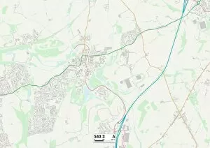
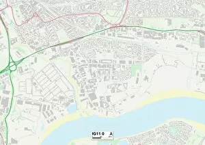
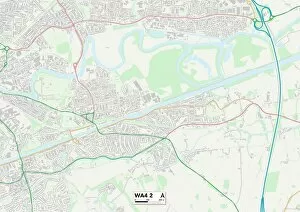
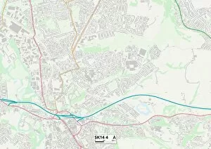
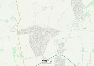
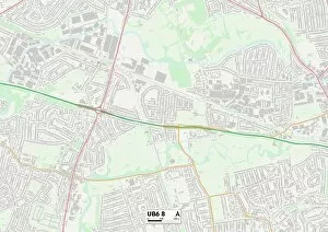
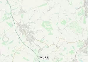
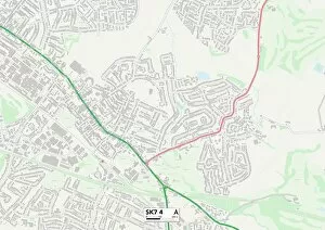
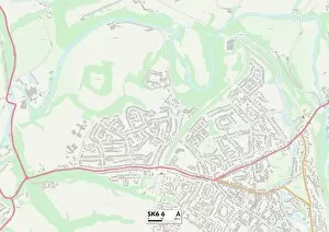
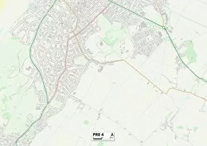
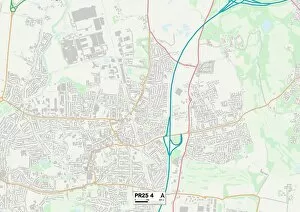
"Stanley Avenue: A Journey Across the Maps" Embarking on a virtual tour, we explore Stanley Avenue's diverse presence across various locations. From Barking and Dagenham IG11 0 to Chesterfield S43 3, this street connects communities far and wide. Starting in Barking and Dagenham IG11 0, Stanley Avenue sets its roots amidst a vibrant neighborhood. Here, it intertwines with the local culture as residents go about their daily lives. The map reveals bustling streets filled with life and energy. Moving further north, our journey takes us to World Maps in Birmingham B32 As if reflecting its name, Stanley Avenue becomes a gateway to exploration here. It symbolizes the endless possibilities that lie beyond familiar territories. Continuing westward, we arrive at Warrington WA4 2 and WA5 3 maps. These areas embrace Stanley Avenue as an integral part of their landscape - a thread connecting different corners of the town together. Residents find solace in this tranquil haven away from urban chaos. Venturing into Tameside SK14 4 brings us closer to nature's wonders surrounding Stanley Avenue. This map showcases lush green spaces where locals can escape into serenity while still being within reach of city amenities. York YO32 3 welcomes us next with its rich history intertwined with modernity along Stanley Avenue's path. The map unravels architectural marvels standing tall against time, inviting visitors to delve deeper into York's captivating heritage. Ealing UB6 8 greets us next on our expedition through maps as we witness how Stanley Avenue harmoniously blends residential charm with commercial vibrancy. This area thrives on diversity and innovation while preserving its community spirit. Further northwest lies St Helens WA11 8 - an embodiment of resilience found along Stanley Avenue's course. This map tells tales of strength amidst adversity; neighbors supporting one another through thick and thin.