
Survey Collection (#6)
"Unveiling the Past: A Journey through Time with Historical Surveys" Step into a world of captivating history as we delve into the fascinating realm of surveys


For sale as Licensed Images
Choose your image, Select your licence and Download the media
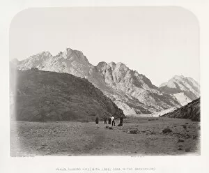
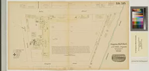
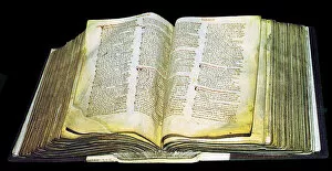
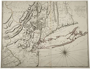
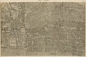
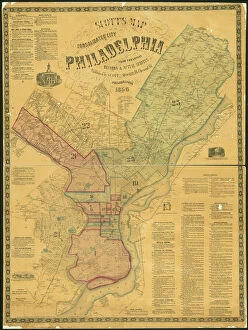
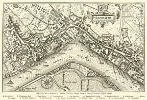
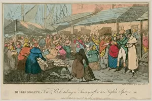
"Unveiling the Past: A Journey through Time with Historical Surveys" Step into a world of captivating history as we delve into the fascinating realm of surveys. From ancient maps to intricate engravings, these snapshots from the past offer glimpses into bygone eras and forgotten landscapes. Transport yourself to 1797 Dublin with the "Map of the City of Dublin, " where every street corner holds secrets waiting to be discovered. Or explore the British Islands through a "Geological Map, " revealing nature's hidden treasures beneath our feet. Marvel at an "Exact Delineation" of London and Westminster, capturing the essence of bustling streets and vibrant suburbs in an enchanting engraving. Travel back in time to Hong Kong's vibrant streetscape in the 1890s, immersing yourself in its rich cultural tapestry. Witness Cornwall's industrial heritage unfold before your eyes with images showcasing surface buildings from Basset Mines or Halwill Barton. These snapshots transport us to pivotal moments that shaped communities and industries alike. Discover Cowden Furnace's layout within Kent, unraveling its historical significance piece by piece. Immerse yourself further into England's past with Nottinghamshire's entry from The Domesday Book or Surrey’s own chapter within this monumental record. Journey beyond borders as you encounter Judaism’s sacred Torah scroll case wrapped in black silk—a poignant reminder of traditions preserved across continents throughout history. Finally, gaze upon a detailed woodblock print depicting London Wall East—Smithfield area—from Civitas Londinium; it offers a glimpse into medieval city life that once thrived along these ancient fortifications. Join us on this extraordinary voyage through time as we uncover stories etched onto parchment and engraved within our collective memory—the surveyors' legacy forever imprinted on our world.