
The Broadway Collection

The Broadway: A Vibrant Tapestry of Culture and Community Across the UK

Background imageThe Broadway Collection: Ealing W5 2 Map

Ealing W5 2 Map
Postcode Sector Map of Ealing W5 2

Background imageThe Broadway Collection: Dudley DY8 3 Map

Dudley DY8 3 Map
Postcode Sector Map of Dudley DY8 3

Background imageThe Broadway Collection: Merton SW19 1 Map

Merton SW19 1 Map
Postcode Sector Map of Merton SW19 1

Background imageThe Broadway Collection: Haringey N8 8 Map

Haringey N8 8 Map
Postcode Sector Map of Haringey N8 8

Background imageThe Broadway Collection: Harborough LE16 7 Map

Harborough LE16 7 Map
Postcode Sector Map of Harborough LE16 7

Background imageThe Broadway Collection: Newham E13 0 Map

Newham E13 0 Map
Postcode Sector Map of Newham E13 0

Background imageThe Broadway Collection: Darlington DL1 1 Map

Darlington DL1 1 Map
Postcode Sector Map of Darlington DL1 1

Background imageThe Broadway Collection: Wealden BN26 5 Map

Wealden BN26 5 Map
Postcode Sector Map of Wealden BN26 5

Background imageThe Broadway Collection: Bournemouth BH10 7 Map

Bournemouth BH10 7 Map
Postcode Sector Map of Bournemouth BH10 7

Background imageThe Broadway Collection: General street scene of Winchester City, with the Statue of King Alfred the Great in

General street scene of Winchester City, with the Statue of King Alfred the Great in the background, Hampshire. January 1953

Background imageThe Broadway Collection: South Staffordshire WV5 0 Map

South Staffordshire WV5 0 Map
Postcode Sector Map of South Staffordshire WV5 0

Background imageThe Broadway Collection: Hastings TN35 5 Map

Hastings TN35 5 Map
Postcode Sector Map of Hastings TN35 5

Background imageThe Broadway Collection: Spelthorne TW18 1 Map

Spelthorne TW18 1 Map
Postcode Sector Map of Spelthorne TW18 1

Background imageThe Broadway Collection: Winchester SO23 9 Map

Winchester SO23 9 Map
Postcode Sector Map of Winchester SO23 9

Background imageThe Broadway Collection: Sutton SM3 8 Map

Sutton SM3 8 Map
Postcode Sector Map of Sutton SM3 8

Background imageThe Broadway Collection: Sutton SM1 4 Map

Sutton SM1 4 Map
Postcode Sector Map of Sutton SM1 4

Background imageThe Broadway Collection: Swindon SN25 3 Map

Swindon SN25 3 Map
Postcode Sector Map of Swindon SN25 3

Background imageThe Broadway Collection: Sunderland SR4 8 Map

Sunderland SR4 8 Map
Postcode Sector Map of Sunderland SR4 8

Background imageThe Broadway Collection: Berkshire RG17 8 Map

Berkshire RG17 8 Map
Postcode Sector Map of Berkshire RG17 8

Background imageThe Broadway Collection: Berkshire RG14 1 Map

Berkshire RG14 1 Map
Postcode Sector Map of Berkshire RG14 1

Background imageThe Broadway Collection: Havering RM12 4 Map

Havering RM12 4 Map
Postcode Sector Map of Havering RM12 4

Background imageThe Broadway Collection: Wealden TN6 2 Map

Wealden TN6 2 Map
Postcode Sector Map of Wealden TN6 2

Background imageThe Broadway Collection: Sevenoaks TN3 8 Map

Sevenoaks TN3 8 Map
Postcode Sector Map of Sevenoaks TN3 8

Background imageThe Broadway Collection: Mid Sussex RH16 3 Map

Mid Sussex RH16 3 Map
Postcode Sector Map of Mid Sussex RH16 3

Background imageThe Broadway Collection: Barking and Dagenham RM8 1 Map

Barking and Dagenham RM8 1 Map
Postcode Sector Map of Barking and Dagenham RM8 1

Background imageThe Broadway Collection: Southend-on-Sea SS1 3 Map

Southend-on-Sea SS1 3 Map
Postcode Sector Map of Southend-on-Sea SS1 3

Background imageThe Broadway Collection: Basildon SS11 7 Map

Basildon SS11 7 Map
Postcode Sector Map of Basildon SS11 7

Background imageThe Broadway Collection: Isle of Wight PO39 0 Map

Isle of Wight PO39 0 Map
Postcode Sector Map of Isle of Wight PO39 0

Background imageThe Broadway Collection: Barnet NW7 3 Map

Barnet NW7 3 Map
Postcode Sector Map of Barnet NW7 3

Background imageThe Broadway Collection: Huntingdonshire PE27 5 Map

Huntingdonshire PE27 5 Map
Postcode Sector Map of Huntingdonshire PE27 5

Background imageThe Broadway Collection: South Kesteven PE10 0 Map

South Kesteven PE10 0 Map
Postcode Sector Map of South Kesteven PE10 0

Background imageThe Broadway Collection: Stockport SK6 2 Map

Stockport SK6 2 Map
Postcode Sector Map of Stockport SK6 2

Background imageThe Broadway Collection: Daventry NN11 2 Map

Daventry NN11 2 Map
Postcode Sector Map of Daventry NN11 2

Background imageThe Broadway Collection: Cherwell OX5 2 Map

Cherwell OX5 2 Map
Postcode Sector Map of Cherwell OX5 2

Background imageThe Broadway Collection: Cherwell OX5 1 Map

Cherwell OX5 1 Map
Postcode Sector Map of Cherwell OX5 1

Background imageThe Broadway Collection: West Norfolk PE31 7 Map

West Norfolk PE31 7 Map
Postcode Sector Map of West Norfolk PE31 7

Background imageThe Broadway Collection: Sussex PO19 6 Map

Sussex PO19 6 Map
Postcode Sector Map of Sussex PO19 6

Background imageThe Broadway Collection: Crawley RH10 1 Map

Crawley RH10 1 Map
Postcode Sector Map of Crawley RH10 1

Background imageThe Broadway Collection: Norfolk NR19 2 Map

Norfolk NR19 2 Map
Postcode Sector Map of Norfolk NR19 2

Background imageThe Broadway Collection: Norfolk NR9 5 Map

Norfolk NR9 5 Map
Postcode Sector Map of Norfolk NR9 5

Background imageThe Broadway Collection: Enfield N9 0 Map

Enfield N9 0 Map
Postcode Sector Map of Enfield N9 0

Background imageThe Broadway Collection: Bedford MK40 2 Map

Bedford MK40 2 Map
Postcode Sector Map of Bedford MK40 2

Background imageThe Broadway Collection: North Tyneside NE30 3 Map

North Tyneside NE30 3 Map
Postcode Sector Map of North Tyneside NE30 3

Background imageThe Broadway Collection: North Tyneside NE25 8 Map

North Tyneside NE25 8 Map
Postcode Sector Map of North Tyneside NE25 8

Background imageThe Broadway Collection: Lincoln LN10 6 Map

Lincoln LN10 6 Map
Postcode Sector Map of Lincoln LN10 6

Background imageThe Broadway Collection: Swale ME12 2 Map

Swale ME12 2 Map
Postcode Sector Map of Swale ME12 2

Background imageThe Broadway Collection: Mansfield NG18 2 Map

Mansfield NG18 2 Map
Postcode Sector Map of Mansfield NG18 2

Background imageThe Broadway Collection: Flintshire LL19 8 Map

Flintshire LL19 8 Map
Postcode Sector Map of Flintshire LL19 8


For sale as Licensed Images

Choose your image, Select your licence and Download the media

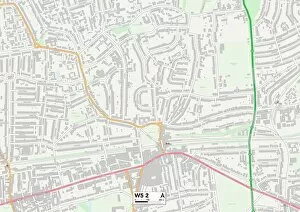
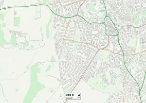
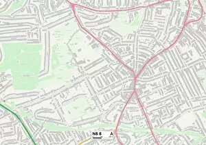
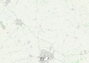
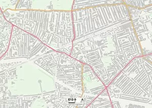
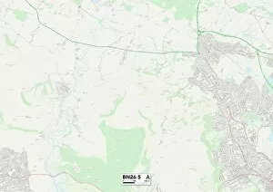
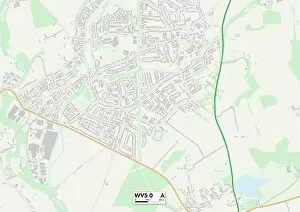
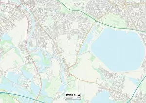
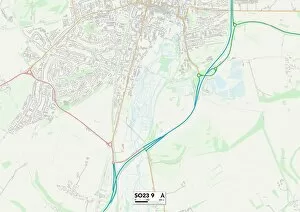
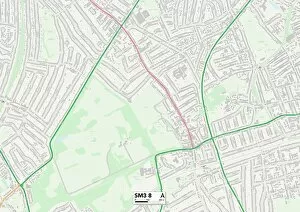
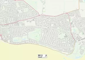
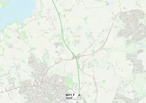
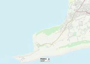
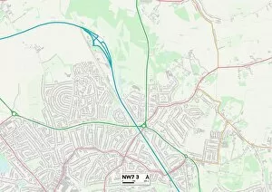
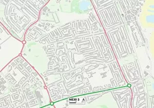
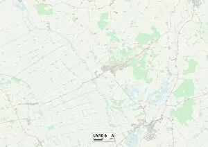
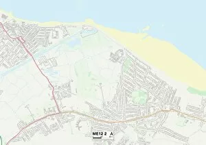
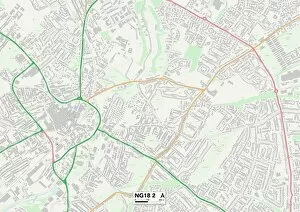
The Broadway: A Vibrant Tapestry of Culture and Community Across the UK. From Ealing W5 to Dudley DY8, Haringey N8 to Harborough LE16, Newham E13 to Wealden BN26, South Staffordshire WV5 to Hastings TN35, Spelthorne TW18 to Merton SW19, Winchester SO23 to Sutton SM3 - The Broadway stretches far and wide across the United Kingdom. This iconic street name unites diverse neighborhoods with its bustling energy and rich history. Each location marked on the map represents a unique corner of this vast tapestry that is The Broadway. In Ealing W5 2 Map, locals gather at charming cafes and boutique shops while admiring the stunning architecture that lines their beloved stretch of The Broadway. Meanwhile in Dudley DY8 3 Map, visitors are captivated by the vibrant market stalls offering an array of local produce and crafts. Haringey N8 8 Map invites art enthusiasts into its thriving galleries and theaters along The Broadway where creativity knows no bounds. And in Harborough LE16 7 Map, residents take pride in their community spirit as they come together for lively festivals celebrating their shared heritage. Newham E13 0 Map welcomes all with open arms as its multicultural atmosphere fills every inch of The Broadway. While Wealden BN26 5 Map offers picturesque countryside views alongside charming pubs serving up hearty meals after a long stroll down this idyllic road. South Staffordshire WV5 0 Map enchants passersby with its quaint cottages nestled amongst lush greenery on The Broadway. As you venture further south towards Hastings TN35 5 Map, you'll be greeted by breathtaking coastal vistas that leave a lasting impression on all who visit. Spelthorne TW18 1Map boasts a fusion of old-world charm and modern amenities along its section - perfect for those seeking both convenience and history.