
The Downs Collection
Exploring the hidden gems and untold stories of 'the downs' across Wolverhampton, Swansea, Wigan, Mansfield, Merton, Staffordshire, Kennet, Walsall, Trafford


For sale as Licensed Images
Choose your image, Select your licence and Download the media
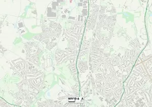
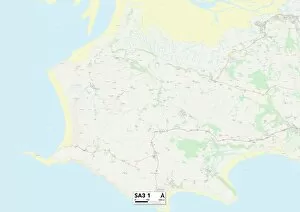
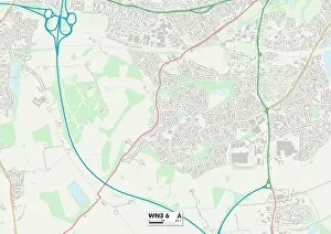
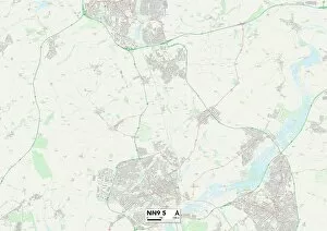
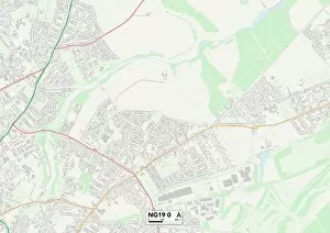
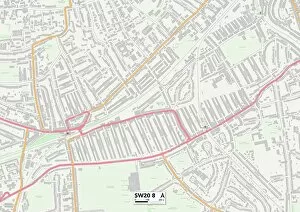
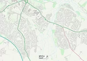
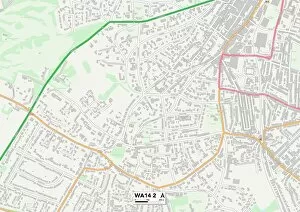
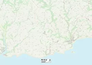
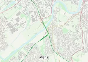
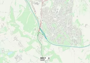
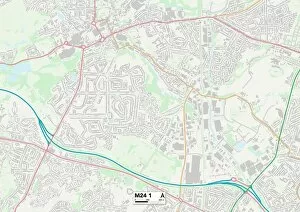
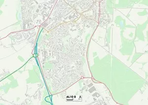
Exploring the hidden gems and untold stories of 'the downs' across Wolverhampton, Swansea, Wigan, Mansfield, Merton, Staffordshire, Kennet, Walsall, Trafford, West Oxfordshire, Cornwall and Stockport. From picturesque landscapes to vibrant communities - these maps lead us to discover the true essence of each location. Uncover the charm of Wolverhampton's WV10 6 Map or lose yourself in Swansea's SA3 1 Map. Take a stroll through history in Wigan's WN3 6 Map or immerse yourself in nature at Mansfield's NG19 0 Map. Experience tranquility amidst urban life with Merton's SW20 8 Map or explore the rich heritage of Staffordshire's ST17 4 Map. Discover hidden treasures in Kennet's SN8 2 Map or embark on an adventure through Walsall's WS9 0 Map. Indulge your senses with Trafford's WA14 2 Map or unwind amidst scenic beauty in West Oxfordshire’s OX29 7Map. Immerse yourself in coastal bliss with Cornwall’s PL13 2Map or embrace local culture at Stockport’s SK8 1Map – 'the downs' offer endless possibilities for exploration and discovery.