
Tudor Close Collection (#2)

Welcome to Tudor Close, a charming neighborhood that spans across various locations in the UK

Background imageTudor Close Collection: Peterborough PE4 7 Map

Peterborough PE4 7 Map
Postcode Sector Map of Peterborough PE4 7

Background imageTudor Close Collection: Boston PE20 2 Map

Boston PE20 2 Map
Postcode Sector Map of Boston PE20 2

Background imageTudor Close Collection: Stockport SK5 7 Map

Stockport SK5 7 Map
Postcode Sector Map of Stockport SK5 7

Background imageTudor Close Collection: Cherwell OX16 9 Map

Cherwell OX16 9 Map
Postcode Sector Map of Cherwell OX16 9

Background imageTudor Close Collection: Barnet NW9 8 Map

Barnet NW9 8 Map
Postcode Sector Map of Barnet NW9 8

Background imageTudor Close Collection: Tameside OL5 9 Map

Tameside OL5 9 Map
Postcode Sector Map of Tameside OL5 9

Background imageTudor Close Collection: Gedling NG4 2 Map

Gedling NG4 2 Map
Postcode Sector Map of Gedling NG4 2

Background imageTudor Close Collection: Blaenau Gwent NP23 5 Map

Blaenau Gwent NP23 5 Map
Postcode Sector Map of Blaenau Gwent NP23 5

Background imageTudor Close Collection: Sussex PO22 6 Map

Sussex PO22 6 Map
Postcode Sector Map of Sussex PO22 6

Background imageTudor Close Collection: Hampshire PO16 8 Map

Hampshire PO16 8 Map
Postcode Sector Map of Hampshire PO16 8

Background imageTudor Close Collection: Sussex PO19 5 Map

Sussex PO19 5 Map
Postcode Sector Map of Sussex PO19 5

Background imageTudor Close Collection: Hampshire PO13 0 Map

Hampshire PO13 0 Map
Postcode Sector Map of Hampshire PO13 0

Background imageTudor Close Collection: Crawley RH6 9 Map

Crawley RH6 9 Map
Postcode Sector Map of Crawley RH6 9

Background imageTudor Close Collection: Erewash NG10 1 Map

Erewash NG10 1 Map
Postcode Sector Map of Erewash NG10 1

Background imageTudor Close Collection: Newark and Sherwood NG24 2 Map

Newark and Sherwood NG24 2 Map
Postcode Sector Map of Newark and Sherwood NG24 2

Background imageTudor Close Collection: Camden N6 5 Map

Camden N6 5 Map
Postcode Sector Map of Camden N6 5

Background imageTudor Close Collection: Bedford MK43 8 Map

Bedford MK43 8 Map
Postcode Sector Map of Bedford MK43 8

Background imageTudor Close Collection: Bedford MK40 2 Map

Bedford MK40 2 Map
Postcode Sector Map of Bedford MK40 2

Background imageTudor Close Collection: Lincoln LN8 3 Map

Lincoln LN8 3 Map
Postcode Sector Map of Lincoln LN8 3

Background imageTudor Close Collection: Bedford MK45 4 Map

Bedford MK45 4 Map
Postcode Sector Map of Bedford MK45 4

Background imageTudor Close Collection: Leicester LE65 1 Map

Leicester LE65 1 Map
Postcode Sector Map of Leicester LE65 1

Background imageTudor Close Collection: Leeds LS28 5 Map

Leeds LS28 5 Map
Postcode Sector Map of Leeds LS28 5

Background imageTudor Close Collection: Babergh IP9 1 Map

Babergh IP9 1 Map
Postcode Sector Map of Babergh IP9 1

Background imageTudor Close Collection: Elmbridge KT11 2 Map

Elmbridge KT11 2 Map
Postcode Sector Map of Elmbridge KT11 2

Background imageTudor Close Collection: Kingston upon Thames KT9 1 Map

Kingston upon Thames KT9 1 Map
Postcode Sector Map of Kingston upon Thames KT9 1

Background imageTudor Close Collection: Redbridge IG8 0 Map

Redbridge IG8 0 Map
Postcode Sector Map of Redbridge IG8 0

Background imageTudor Close Collection: Epping Forest IG7 5 Map

Epping Forest IG7 5 Map
Postcode Sector Map of Epping Forest IG7 5

Background imageTudor Close Collection: Woking GU22 7 Map

Woking GU22 7 Map
Postcode Sector Map of Woking GU22 7

Background imageTudor Close Collection: Suffolk Coastal IP13 9 Map

Suffolk Coastal IP13 9 Map
Postcode Sector Map of Suffolk Coastal IP13 9

Background imageTudor Close Collection: St Edmundsbury IP29 4 Map

St Edmundsbury IP29 4 Map
Postcode Sector Map of St Edmundsbury IP29 4

Background imageTudor Close Collection: Breckland IP24 3 Map

Breckland IP24 3 Map
Postcode Sector Map of Breckland IP24 3

Background imageTudor Close Collection: East Riding of Yorkshire HU15 1 Map

East Riding of Yorkshire HU15 1 Map
Postcode Sector Map of East Riding of Yorkshire HU15 1

Background imageTudor Close Collection: Wyre FY5 3 Map

Wyre FY5 3 Map
Postcode Sector Map of Wyre FY5 3

Background imageTudor Close Collection: Wyre FY6 7 Map

Wyre FY6 7 Map
Postcode Sector Map of Wyre FY6 7

Background imageTudor Close Collection: Torridge EX39 3 Map

Torridge EX39 3 Map
Postcode Sector Map of Torridge EX39 3

Background imageTudor Close Collection: Gloucester GL3 1 Map

Gloucester GL3 1 Map
Postcode Sector Map of Gloucester GL3 1

Background imageTudor Close Collection: Tewkesbury GL54 5 Map

Tewkesbury GL54 5 Map
Postcode Sector Map of Tewkesbury GL54 5

Background imageTudor Close Collection: Harrow HA5 2 Map

Harrow HA5 2 Map
Postcode Sector Map of Harrow HA5 2

Background imageTudor Close Collection: Broxbourne EN7 5 Map

Broxbourne EN7 5 Map
Postcode Sector Map of Broxbourne EN7 5

Background imageTudor Close Collection: North East Lincolnshire DN36 4 Map

North East Lincolnshire DN36 4 Map
Postcode Sector Map of North East Lincolnshire DN36 4

Background imageTudor Close Collection: Cheshire West and Chester CW9 7 Map

Cheshire West and Chester CW9 7 Map
Postcode Sector Map of Cheshire West and Chester CW9 7

Background imageTudor Close Collection: Cheshire West and Chester CW7 1 Map

Cheshire West and Chester CW7 1 Map
Postcode Sector Map of Cheshire West and Chester CW7 1

Background imageTudor Close Collection: Cheshire East CW10 9 Map

Cheshire East CW10 9 Map
Postcode Sector Map of Cheshire East CW10 9

Background imageTudor Close Collection: Tendring CO15 2 Map

Tendring CO15 2 Map
Postcode Sector Map of Tendring CO15 2

Background imageTudor Close Collection: Tendring CO14 8 Map

Tendring CO14 8 Map
Postcode Sector Map of Tendring CO14 8

Background imageTudor Close Collection: Babergh CO10 1 Map

Babergh CO10 1 Map
Postcode Sector Map of Babergh CO10 1

Background imageTudor Close Collection: Gravesham DA11 8 Map

Gravesham DA11 8 Map
Postcode Sector Map of Gravesham DA11 8

Background imageTudor Close Collection: Dartford DA1 3 Map

Dartford DA1 3 Map
Postcode Sector Map of Dartford DA1 3


For sale as Licensed Images

Choose your image, Select your licence and Download the media

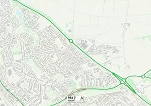
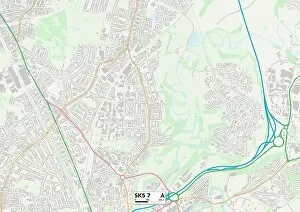
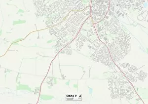
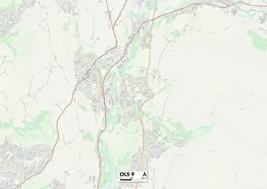
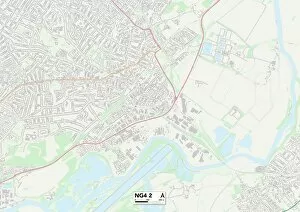
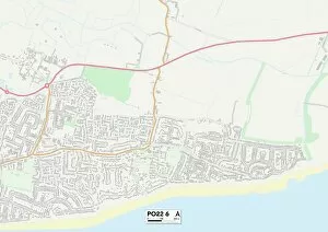
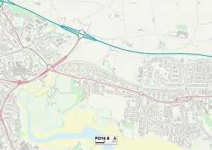
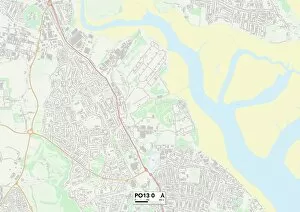
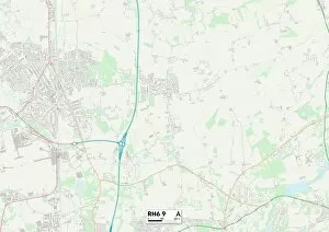
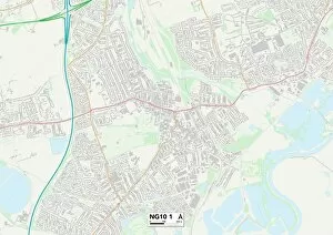
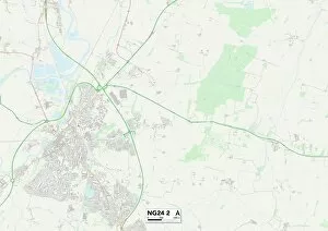
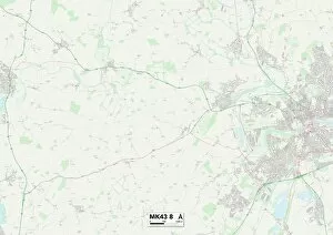
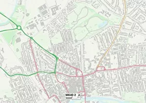
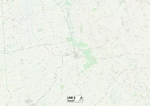
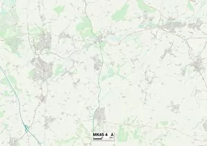
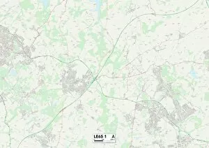
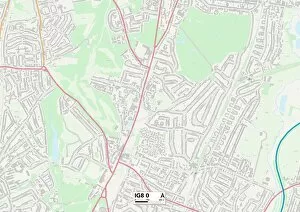
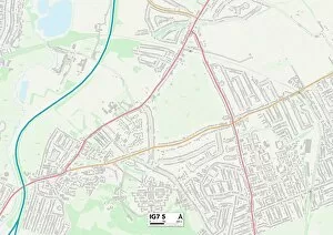
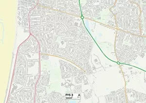
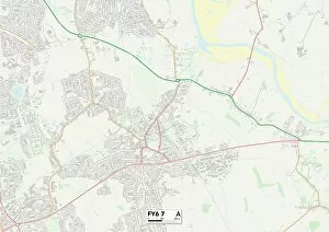
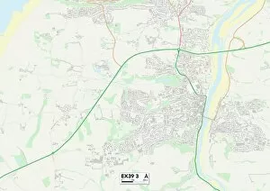
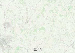
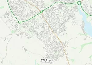
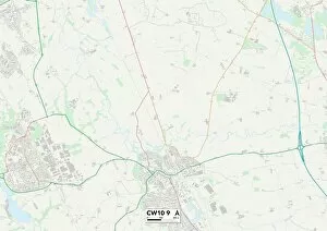
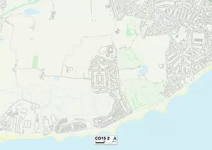
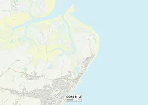
Welcome to Tudor Close, a charming neighborhood that spans across various locations in the UK. From Wokingham's peaceful streets (RG40 2 Map) to Plymouth's coastal beauty (PL9 9 Map), South Oxfordshire's picturesque landscapes (OX10 9 Map) to Leicester's vibrant city life (LE3 5 Map), it offers something for everyone. Nestled in Mole Valley (KT23 3 Map), residents can enjoy the tranquility of countryside living while being within easy reach of bustling towns and cities. The idyllic surroundings continue in Waverley (GU26 6 Map), where rolling hills and quaint villages create a captivating backdrop for everyday life. Coventry's rich history and cultural heritage await you at Tudor Close, with its convenient location just a stone's throw away from this vibrant city center (CV7 7 Map). Meanwhile, Welwyn Hatfield boasts an enviable position close to London yet still retaining its own unique charm and character (AL10 9 Map). Birmingham, known as England’s second city, is also part of the Tudor Close community. Here you'll find a thriving metropolis filled with diverse attractions and opportunities for all ages to explore and thrive (B13 O map). Further north lies Blackburn with Darwen - an area steeped in industrial heritage but now flourishing as a modern hub of culture and creativity (BB3 O map). Heading eastward brings us to East Riding of Yorkshire (YO15 Y map) - home to stunning coastlines, historic landmarks like Bridlington Priory, and charming market towns waiting to be discovered. Last but not least is York (YO8 Y map), renowned for its medieval architecture including the iconic York Minster. This ancient city provides endless opportunities for exploration through winding cobbled streets lined with boutique shops and cozy cafes.