
Vintage Map Collection (#8)
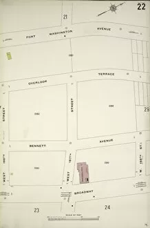
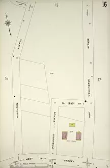
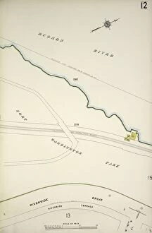
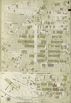
"Embark on a journey through time with this vintage map collection, Vol. 6 Plate H. Discover the intricate details of maps bound by Van Cott Ave. , Van Pelt Ave


For sale as Licensed Images
Choose your image, Select your licence and Download the media
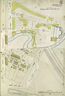
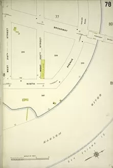
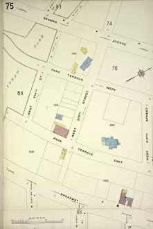
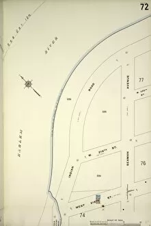
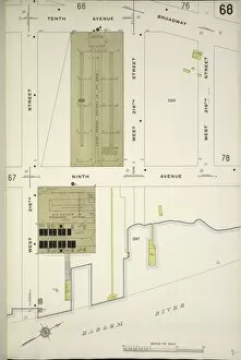
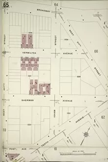
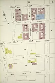
"Embark on a journey through time with this vintage map collection, Vol. 6 Plate H. Discover the intricate details of maps bound by Van Cott Ave. , Van Pelt Ave. , Monitor St. , and Meeker Ave. Uncover the charm of historic cities like Hong Kong, Washington, Philadelphia, Saint Petersburg, Manchester, Montgomery, and Pittsburgh. Immerse yourself in the nostalgia of a gray map depicting pre-war Kiev or explore the earth-toned intricacies of a detailed map showcasing Europe's beauty. Delve into the past with a gray vintage map capturing Tokyo's timeless allure. Let these captivating maps transport you to different eras and far-off lands as you unravel their hidden stories. "