
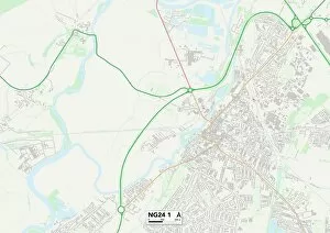
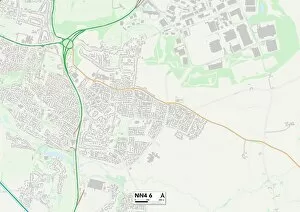
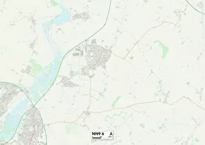
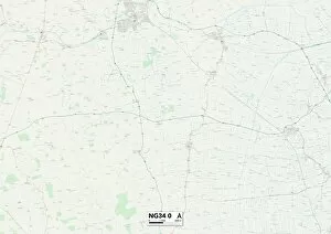
Water Lane Collection (#3)

Discover the serenity of Water Lane as it winds through picturesque landscapes across the UK

Background imageWater Lane Collection: South Kesteven PE10 0 Map

South Kesteven PE10 0 Map
Postcode Sector Map of South Kesteven PE10 0

Background imageWater Lane Collection: East Lindsey PE23 4 Map

East Lindsey PE23 4 Map
Postcode Sector Map of East Lindsey PE23 4

Background imageWater Lane Collection: South Holland PE11 2 Map

South Holland PE11 2 Map
Postcode Sector Map of South Holland PE11 2

Background imageWater Lane Collection: South Kesteven PE9 4 Map

South Kesteven PE9 4 Map
Postcode Sector Map of South Kesteven PE9 4

Background imageWater Lane Collection: Peterborough PE5 7 Map

Peterborough PE5 7 Map
Postcode Sector Map of Peterborough PE5 7

Background imageWater Lane Collection: Thurrock RM19 1 Map

Thurrock RM19 1 Map
Postcode Sector Map of Thurrock RM19 1

Background imageWater Lane Collection: Lewisham SE14 5 Map

Lewisham SE14 5 Map
Postcode Sector Map of Lewisham SE14 5

Background imageWater Lane Collection: Carmarthenshire SA33 5 Map

Carmarthenshire SA33 5 Map
Postcode Sector Map of Carmarthenshire SA33 5

Background imageWater Lane Collection: South Northamptonshire NN12 8 Map

South Northamptonshire NN12 8 Map
Postcode Sector Map of South Northamptonshire NN12 8

Background imageWater Lane Collection: Corby NN17 3 Map

Corby NN17 3 Map
Postcode Sector Map of Corby NN17 3

Background imageWater Lane Collection: South Northamptonshire NN12 7 Map

South Northamptonshire NN12 7 Map
Postcode Sector Map of South Northamptonshire NN12 7

Background imageWater Lane Collection: South Northamptonshire NN12 6 Map

South Northamptonshire NN12 6 Map
Postcode Sector Map of South Northamptonshire NN12 6

Background imageWater Lane Collection: South Oxfordshire OX10 7 Map

South Oxfordshire OX10 7 Map
Postcode Sector Map of South Oxfordshire OX10 7

Background imageWater Lane Collection: Rochdale OL16 3 Map

Rochdale OL16 3 Map
Postcode Sector Map of Rochdale OL16 3

Background imageWater Lane Collection: Cherwell OX25 4 Map

Cherwell OX25 4 Map
Postcode Sector Map of Cherwell OX25 4

Background imageWater Lane Collection: Cherwell OX17 3 Map

Cherwell OX17 3 Map
Postcode Sector Map of Cherwell OX17 3

Background imageWater Lane Collection: Cherwell OX15 4 Map

Cherwell OX15 4 Map
Postcode Sector Map of Cherwell OX15 4

Background imageWater Lane Collection: West Oxfordshire OX7 3 Map

West Oxfordshire OX7 3 Map
Postcode Sector Map of West Oxfordshire OX7 3

Background imageWater Lane Collection: West Oxfordshire OX7 4 Map

West Oxfordshire OX7 4 Map
Postcode Sector Map of West Oxfordshire OX7 4

Background imageWater Lane Collection: Norfolk NR21 0 Map

Norfolk NR21 0 Map
Postcode Sector Map of Norfolk NR21 0

Background imageWater Lane Collection: Suffolk NR32 2 Map

Suffolk NR32 2 Map
Postcode Sector Map of Suffolk NR32 2

Background imageWater Lane Collection: Norfolk NR12 0 Map

Norfolk NR12 0 Map
Postcode Sector Map of Norfolk NR12 0

Background imageWater Lane Collection: West Norfolk PE32 1 Map

West Norfolk PE32 1 Map
Postcode Sector Map of West Norfolk PE32 1

Background imageWater Lane Collection: West Norfolk PE30 1 Map

West Norfolk PE30 1 Map
Postcode Sector Map of West Norfolk PE30 1

Background imageWater Lane Collection: Tandridge RH9 8 Map

Tandridge RH9 8 Map
Postcode Sector Map of Tandridge RH9 8

Background imageWater Lane Collection: Tandridge RH8 0 Map

Tandridge RH8 0 Map
Postcode Sector Map of Tandridge RH8 0

Background imageWater Lane Collection: Mole Valley RH5 6 Map

Mole Valley RH5 6 Map
Postcode Sector Map of Mole Valley RH5 6

Background imageWater Lane Collection: Norfolk NR27 9 Map

Norfolk NR27 9 Map
Postcode Sector Map of Norfolk NR27 9

Background imageWater Lane Collection: Norfolk NR25 7 Map

Norfolk NR25 7 Map
Postcode Sector Map of Norfolk NR25 7

Background imageWater Lane Collection: Norfolk NR21 7 Map

Norfolk NR21 7 Map
Postcode Sector Map of Norfolk NR21 7

Background imageWater Lane Collection: Norfolk NR13 5 Map

Norfolk NR13 5 Map
Postcode Sector Map of Norfolk NR13 5

Background imageWater Lane Collection: Norfolk NR11 8 Map

Norfolk NR11 8 Map
Postcode Sector Map of Norfolk NR11 8

Background imageWater Lane Collection: South Kesteven NG33 5 Map

South Kesteven NG33 5 Map
Postcode Sector Map of South Kesteven NG33 5

Background imageWater Lane Collection: South Kesteven NG33 4 Map

South Kesteven NG33 4 Map
Postcode Sector Map of South Kesteven NG33 4

Background imageWater Lane Collection: Rushcliffe NG12 1 Map

Rushcliffe NG12 1 Map
Postcode Sector Map of Rushcliffe NG12 1

Background imageWater Lane Collection: South Kesteven NG32 3 Map

South Kesteven NG32 3 Map
Postcode Sector Map of South Kesteven NG32 3

Background imageWater Lane Collection: Newark and Sherwood NG25 0 Map

Newark and Sherwood NG25 0 Map
Postcode Sector Map of Newark and Sherwood NG25 0

Background imageWater Lane Collection: Newark and Sherwood NG24 1 Map

Newark and Sherwood NG24 1 Map
Postcode Sector Map of Newark and Sherwood NG24 1

Background imageWater Lane Collection: Northampton NN4 6 Map

Northampton NN4 6 Map
Postcode Sector Map of Northampton NN4 6

Background imageWater Lane Collection: Wellingborough NN9 6 Map

Wellingborough NN9 6 Map
Postcode Sector Map of Wellingborough NN9 6

Background imageWater Lane Collection: North Kesteven NG34 0 Map

North Kesteven NG34 0 Map
Postcode Sector Map of North Kesteven NG34 0

Background imageWater Lane Collection: Rushcliffe NG12 2 Map

Rushcliffe NG12 2 Map
Postcode Sector Map of Rushcliffe NG12 2

Background imageWater Lane Collection: Norfolk NR4 7 Map

Norfolk NR4 7 Map
Postcode Sector Map of Norfolk NR4 7

Background imageWater Lane Collection: Milton Keynes MK16 9 Map

Milton Keynes MK16 9 Map
Postcode Sector Map of Milton Keynes MK16 9

Background imageWater Lane Collection: Bedford MK45 1 Map

Bedford MK45 1 Map
Postcode Sector Map of Bedford MK45 1

Background imageWater Lane Collection: Bedford MK42 7 Map

Bedford MK42 7 Map
Postcode Sector Map of Bedford MK42 7

Background imageWater Lane Collection: Bedford MK41 0 Map

Bedford MK41 0 Map
Postcode Sector Map of Bedford MK41 0

Background imageWater Lane Collection: Enfield N9 7 Map

Enfield N9 7 Map
Postcode Sector Map of Enfield N9 7


For sale as Licensed Images

Choose your image, Select your licence and Download the media

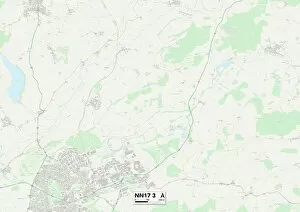
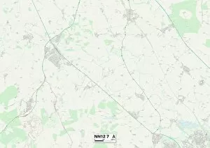
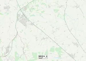
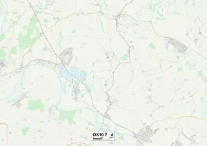
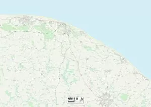
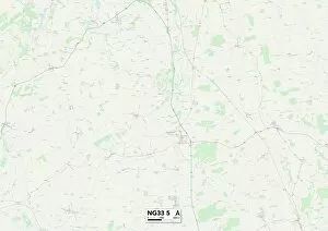
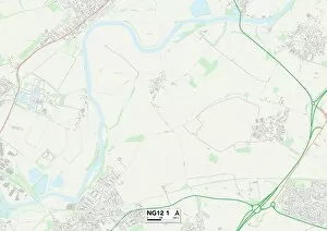
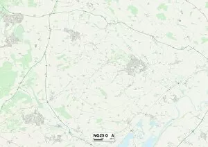
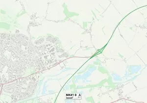
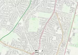
Discover the serenity of Water Lane as it winds through picturesque landscapes across the UK. From the charming village of Melton in Leicestershire (LE14 2 Map) to the historic town of Newmarket in Cambridgeshire (CB8 8 Map), this enchanting route takes you on a journey like no other. Immerse yourself in the tranquility of Shetland's stunning coastline, where Water Lane (ZE1 0 Map) offers breathtaking views and a sense of calm that can only be found by the sea. Or venture further south to East Riding of Yorkshire (YO15 1 Map), where this idyllic lane meanders through quaint villages and rolling countryside, providing an escape from everyday life. Experience coastal charm at Redcar & Cleveland's Water Lane (TS13 4 Map), where sandy beaches meet rugged cliffs, creating a captivating backdrop for your adventures. In Hampshire's New Forest region (SO45 4 Map), follow Water Lane as it leads you deep into ancient woodlands and heathlands, offering glimpses of wildlife along the way. North Hertfordshire's Water Lane (SG5 1 Map) invites you to explore its hidden gems, with charming cottages and lush green fields dotting its path. Journey westward to Wiltshire's peaceful countryside (SN14 7 Map), where this scenic lane guides you through postcard-worthy landscapes filled with rolling hills and picturesque villages. In West Sussex's Horsham district (RH20 3 Map), discover a slice of rural paradise as Water Lane transports you past tranquil streams and verdant meadows. Travel northwards to Sefton in Merseyside (PR9 8 Map) for a refreshing change of scenery, with this delightful lane leading you alongside beautiful parks and gardens.