
Waters Edge Collection (page 4)
"Waters Edge: A Captivating Journey Across the World's Coastal Gems" As the sun sets over Clevedon Pier


For sale as Licensed Images
Choose your image, Select your licence and Download the media
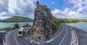
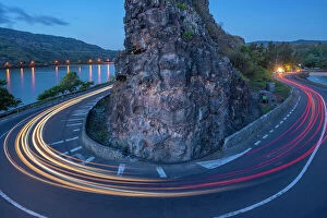
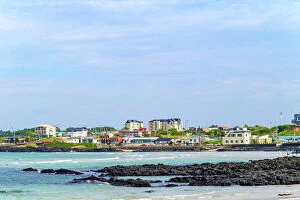
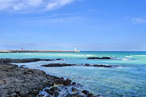
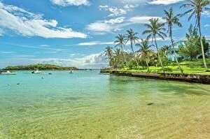
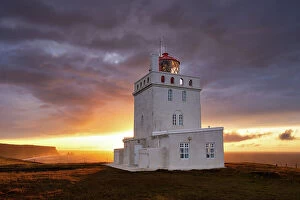
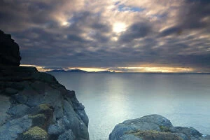
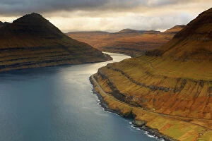
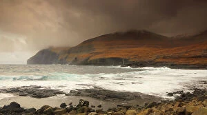
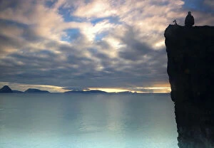
"Waters Edge: A Captivating Journey Across the World's Coastal Gems" As the sun sets over Clevedon Pier, a mesmerizing dusk view awaits on the Bristol Channel coast of Somerset, England. Croyde Bay in North Devon unveils its natural beauty, inviting you to immerse yourself in the stunning waters of this captivating destination. Camber Sands boasts not only picturesque sand dunes but also a pristine beach near Rye, East Sussex – an idyllic spot for relaxation and tranquility. Experience paradise at Pink Sands beach on Harbour Island in the Bahamas; where crystal-clear waters meet soft pink sands along the Atlantic Ocean's shores. Mumbles Lighthouse stands tall against Bracelet Bay's breathtaking backdrop on Gower Peninsula, Swansea – a true coastal gem in Wales. Let your spirit soar as you witness an aerial view of Salcombe nestled within Devon's Kingsbridge Estuary – a sight that will leave you breathless. Bigbury-on-Sea entices with its golden beaches and panoramic views across Devon's coastline; it is truly a slice of paradise waiting to be explored. Witness nature reclaiming its calm after a storm at Broughty Ferry in Dundee, Scotland – offering solace amidst rugged beauty by the water's edge. The Giants Causeway stands as an awe-inspiring testament to nature’s artistry along Northern Ireland’s dramatic coastline - prepare to be amazed. Iguazu Falls roars with power and majesty as Brazil showcases one of South America’s most magnificent wonders - an unforgettable experience for all who visit. Parque Natural de Corralejo invites you to indulge in endless stretches of pristine beaches and resort luxury near Fuerteventura’s charming town of Corralejo. Embark on this enchanting journey around some of Earth’s most remarkable waterfront destinations - where land meets sea, and dreams meet reality.