
Watton Collection
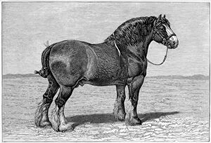
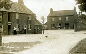
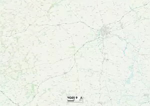
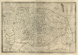
"Watton: A Historic Town with Equestrian Charm" Located in the picturesque countryside of Norfolk, a town steeped in history and surrounded by natural beauty


For sale as Licensed Images
Choose your image, Select your licence and Download the media
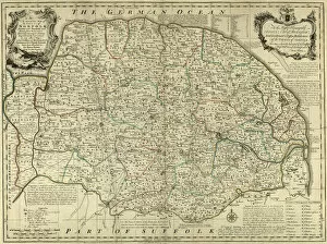
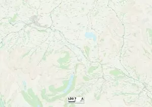
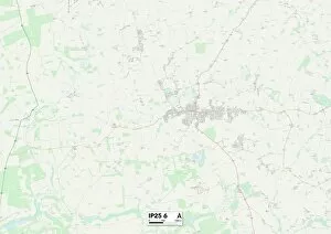
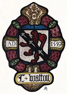
"Watton: A Historic Town with Equestrian Charm" Located in the picturesque countryside of Norfolk, a town steeped in history and surrounded by natural beauty. Known for its strong equestrian culture, this charming town has been home to notable horses like Shire Honest Tom, whose legacy still resonates within the community. Nestled near the Crown Inn in Ashill, Norfolk, Watton boasts a rich heritage that dates back centuries. The East Riding of Yorkshire YO25 9 Map showcases its strategic location and historical significance. Even Christopher Saxton's County of Norfolk map from c. 1574 highlights Watton's importance during that era. As time passed, Watton continued to thrive as depicted on the County Map of Norfolk from c. 1777. It was during this period that Watton Abbey emerged – an exquisite Tudor house constructed using remnants from East Yorkshire's original abbey. It also played a vital role in aviation history with RAF Lincoln B Mk. 2 and Provost T Mk. 1 aircrafts being stationed at Biggin Hill airfield nearby. Beyond its historical landmarks, it offers breathtaking landscapes such as those found on Llandrindod Wells LD3 7 Map or Breckland IP25 6 Map – perfect for nature enthusiasts seeking tranquility amidst stunning scenery. The allure of this town extends far beyond its borders; even West Dorset DT6 5 Map cannot resist showcasing its captivating charm. A proud symbol associated with Watton is "The Arms of Thomas Watton, " dating back to c1900 but gaining prominence in 1936 – representing the town's enduring spirit and resilience throughout history. Today, visitors can explore Norwich Road and experience firsthand the vibrant atmosphere that permeates through every corner of this remarkable place nestled between Thetford and England itself.