Home > Europe > United Kingdom > England > Cheshire > Warrington
Cheshire West and Chester CH65 6 Map

![]()
Wall Art and Photo Gifts from Map Marketing
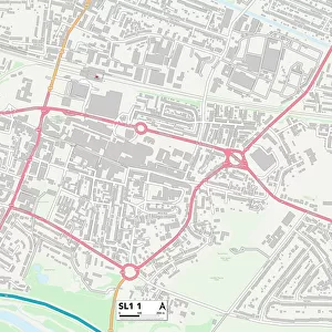
Cheshire West and Chester CH65 6 Map
Postcode Sector Map of Cheshire West and Chester CH65 6
Media ID 19966930
Acorn Drive Avondale Bedford Avenue Carrick Drive Castle Drive Ch65 Cheshire West And Chester Chester Road Clare Drive Eskdale Fairfield Avenue Fairview Road Fern Road Greenlea Close Heath Avenue Holmwood Drive Laurel Drive Mansfield Road Maxwell Close Oak Grove Orchard Road Park Drive Parkfield Drive Pembroke Drive Queens Avenue Ribblesdale Royston Close Thames Side The Green Thomas Close Wilsons Lane Windsor Drive Woodbank Road Woodcote Avenue Woodland Road Clydesdale Deeside
FEATURES IN THESE COLLECTIONS
> Animals
> Mammals
> Muridae
> Heath Mouse
> Arts
> Artists
> W
> Wilson Wilson
> Europe
> United Kingdom
> England
> Cheshire
> Chester
> Europe
> United Kingdom
> England
> Cheshire
> Related Images
> Europe
> United Kingdom
> England
> Cheshire
> Warrington
> Europe
> United Kingdom
> Wales
> Pembrokeshire
> Pembroke
> Map Marketing
> Postcode Sector Maps
> CH - Chester
> Maps and Charts
> Related Images
MADE IN THE USA
Safe Shipping with 30 Day Money Back Guarantee
FREE PERSONALISATION*
We are proud to offer a range of customisation features including Personalised Captions, Color Filters and Picture Zoom Tools
SECURE PAYMENTS
We happily accept a wide range of payment options so you can pay for the things you need in the way that is most convenient for you
* Options may vary by product and licensing agreement. Zoomed Pictures can be adjusted in the Cart.