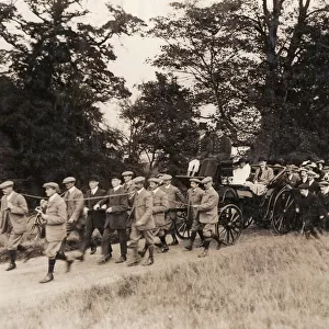
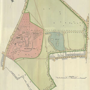
Home > Europe > United Kingdom > Wales > Flintshire > Broughton
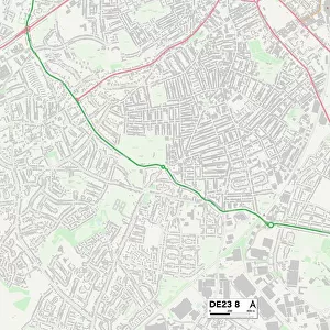
Amber Valley DE5 9 Map

![]()
Wall Art and Photo Gifts from Map Marketing
Amber Valley DE5 9 Map
Postcode Sector Map of Amber Valley DE5 9
Media ID 19968813
Alfreton Road Amber Valley Brierley Road Britannia Avenue Brookfield Close Broughton Close Castle Drive Church Street Cross Hill Cross Lane Crosshill Field Street Goose Lane Grove Court High Street Highfields Hillcrest Drive Market Place Meadow Avenue Middleton Avenue Mill Lane Nottingham Road Orchard Close Orchard Grove Pinewood Pit Lane Queen Street Rutland Avenue Severn Close Smith Avenue Station Lane Stoney Lane The Orchard Thomson Drive Warren Road West Hill Whitegates Windmill Close Wood Street Wright Street
FEATURES IN THESE COLLECTIONS
> Europe
> United Kingdom
> England
> Rutland
> Related Images
> Europe
> United Kingdom
> Wales
> Flintshire
> Broughton
> Map Marketing
> Postcode Sector Maps
> DE - Derby
> Maps and Charts
> Related Images
MADE IN THE USA
Safe Shipping with 30 Day Money Back Guarantee
FREE PERSONALISATION*
We are proud to offer a range of customisation features including Personalised Captions, Color Filters and Picture Zoom Tools
SECURE PAYMENTS
We happily accept a wide range of payment options so you can pay for the things you need in the way that is most convenient for you
* Options may vary by product and licensing agreement. Zoomed Pictures can be adjusted in the Cart.