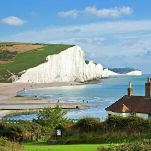
Home > Europe > United Kingdom > England > Sussex > Charlton
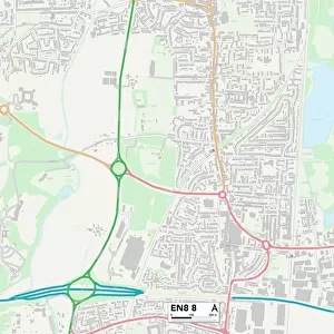
Broxbourne EN11 8 Map

![]()
Wall Art and Photo Gifts from Map Marketing
Broxbourne EN11 8 Map
Postcode Sector Map of Broxbourne EN11 8
Media ID 19969638
Admirals Walk Beech Walk Bell Lane Box Lane Bramble Lane Brewery Road Brookside Burnside Chapel End Charlton Close Cock Lane Conduit Lane Foxton Road High Street Hillside Jersey Close Kennedy Avenue Langton Road Lord Street Lowfield Lane Meadway Norris Road North Road Park Road Park View Parkwood Close Priory Close Sussex Close The Avenue The Knowle The Lynch Walnut Tree Close Woodlands Close Woodlands Drive Broxbourne Hoddesdon Red Hills Roman Street
FEATURES IN THESE COLLECTIONS
> Animals
> Birds
> Passerines
> Finches
> Brambling
> Animals
> Mammals
> Cervidae
> Red Brocket
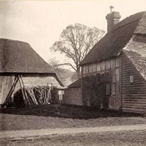
> Arts
> Artists
> R
> Roman Roman
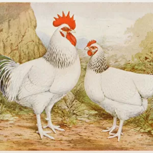
> Arts
> Artists
> T
> Paul Taylor
> Europe
> United Kingdom
> England
> East Sussex
> Related Images
> Europe
> United Kingdom
> England
> Sussex
> Charlton
> Europe
> United Kingdom
> England
> Sussex
> Cocking
> Europe
> United Kingdom
> England
> Sussex
> North End
> Europe
> United Kingdom
> England
> Sussex
> Related Images
> Europe
> United Kingdom
> England
> Sussex
> Street End
> Map Marketing
> Postcode Sector Maps
> EN - Enfield
MADE IN THE USA
Safe Shipping with 30 Day Money Back Guarantee
FREE PERSONALISATION*
We are proud to offer a range of customisation features including Personalised Captions, Color Filters and Picture Zoom Tools
SECURE PAYMENTS
We happily accept a wide range of payment options so you can pay for the things you need in the way that is most convenient for you
* Options may vary by product and licensing agreement. Zoomed Pictures can be adjusted in the Cart.