Home > Europe > United Kingdom > Scotland > Strathclyde > Hamilton
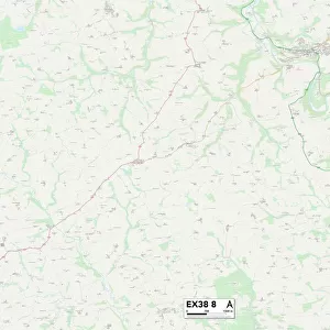
Teignbridge EX6 8 Map

![]()
Wall Art and Photo Gifts from Map Marketing
Teignbridge EX6 8 Map
Postcode Sector Map of Teignbridge EX6 8
Media ID 19969698
Bishops Close Bramley Close Brickyard Lane Brunel Road Butts Hill Castle Gate Church Road Church Street Churchill Close Courtenay Close Dairy Close Elm Court Fore Street Fowler Close Glebelands Hamilton Grove High Street Hill Crest Jubilee Close Lime Grove Lumley Close Middlewood Miller Way Minster Road New Road Oak Close Orchard Lane Orchard Way Peartree Close Penny Close Ridge Way Royal Way School Hill Station Road Swan Road Teignbridge The Buntings The Strand Townfield Vicarage Road Victoria Close Walnut Close Well Street Western Drive Westfield Exminster Kenton Powderham Starcross
FEATURES IN THESE COLLECTIONS
> Europe
> United Kingdom
> Northern Ireland
> County Down
> Related Images
> Europe
> United Kingdom
> Scotland
> Strathclyde
> Hamilton
> Map Marketing
> Postcode Sector Maps
> EX - Exeter
> Maps and Charts
> Related Images
> Popular Themes
> Brunel
MADE IN THE USA
Safe Shipping with 30 Day Money Back Guarantee
FREE PERSONALISATION*
We are proud to offer a range of customisation features including Personalised Captions, Color Filters and Picture Zoom Tools
SECURE PAYMENTS
We happily accept a wide range of payment options so you can pay for the things you need in the way that is most convenient for you
* Options may vary by product and licensing agreement. Zoomed Pictures can be adjusted in the Cart.