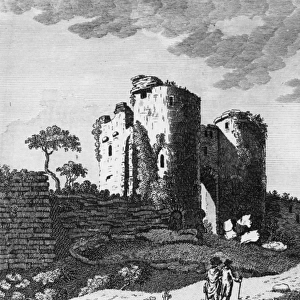
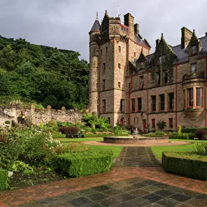
Home > Europe > United Kingdom > Scotland > Aberdeenshire > Huntly
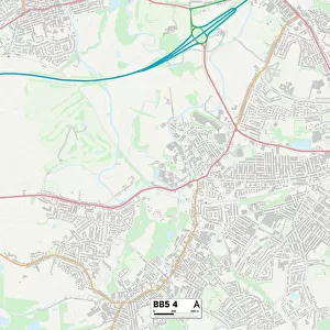
Corby NN18 0 Map

![]()
Wall Art and Photo Gifts from Map Marketing
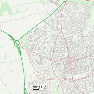
Corby NN18 0 Map
Postcode Sector Map of Corby NN18 0
Media ID 19977413
Birch Avenue Brighton Road Carlton Place Castle Close Constable Road Corby Corby Road Eastbourne Avenue Gainsborough Road Glastonbury Road Granby Close Hunt Street Jubilee Avenue Knights Close Lawrence Court Leighton Road Lowry Close Manor Drive Morland Road Purbeck Drive Reynolds Road Romney Road School Place Shaftesbury Road Skipton Close Spalding Road Taunton Avenue The Lawns Thirsk Road Tower Hill Road Turner Road Uppingham Road Walton Close Weymouth Close Worthing Road York Road Northbrook
FEATURES IN THESE COLLECTIONS
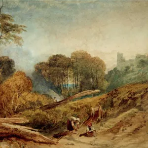
> Architecture
> Towers
> Castles
> Europe
> United Kingdom
> Scotland
> Aberdeenshire
> Huntly
> Map Marketing
> Postcode Sector Maps
> NN - Northampton
> Maps and Charts
> Related Images
MADE IN THE USA
Safe Shipping with 30 Day Money Back Guarantee
FREE PERSONALISATION*
We are proud to offer a range of customisation features including Personalised Captions, Color Filters and Picture Zoom Tools
SECURE PAYMENTS
We happily accept a wide range of payment options so you can pay for the things you need in the way that is most convenient for you
* Options may vary by product and licensing agreement. Zoomed Pictures can be adjusted in the Cart.