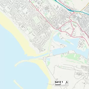
Home > Europe > United Kingdom > Wales > West Glamorgan > Port Talbot
Neath Port Talbot SA8 4 Map

![]()
Wall Art and Photo Gifts from Map Marketing
Neath Port Talbot SA8 4 Map
Postcode Sector Map of Neath Port Talbot SA8 4
Media ID 19981404
Birchfield Road Brecon Road Bryn Celyn Bryn Derwen Church Street Commercial Road Court Lane Davies Road Fairway Drive Farm Road Francis Street George Street Graig Road Grove Road Haulfryn Heathfield Road Heol Las Herbert Street High Street Holly Street Jones Street Lloyd Street Maes Yr Ysgol Morgan Street Neath Port Talbot New Road Oakfield Road Oakwood Close Oakwood Drive Oakwood Rise Old Road Orchard Street Richardson Street School Lane Smithfield Road St Marys Road Swansea Road Sycamore Lane The Drive Thomas Street Uplands Road Vicarage Drive Wesley Terrace Western Road William Street Woodland Road
FEATURES IN THESE COLLECTIONS
> Arts
> Artists
> C
> Arthur Herbert Church
> Arts
> Artists
> D
> Thomas Davies
> Arts
> Artists
> F
> George Fuller
> Arts
> Artists
> J
> George Jones
> Arts
> Artists
> J
> Thomas Jones
> Arts
> Artists
> R
> William Richardson
> Europe
> United Kingdom
> Wales
> Powys
> Brecon
> Europe
> United Kingdom
> Wales
> West Glamorgan
> Neath
> Europe
> United Kingdom
> Wales
> West Glamorgan
> Port Talbot
> Europe
> United Kingdom
> Wales
> West Glamorgan
> Swansea
> Map Marketing
> Postcode Sector Maps
> SA - Swansea
MADE IN THE USA
Safe Shipping with 30 Day Money Back Guarantee
FREE PERSONALISATION*
We are proud to offer a range of customisation features including Personalised Captions, Color Filters and Picture Zoom Tools
SECURE PAYMENTS
We happily accept a wide range of payment options so you can pay for the things you need in the way that is most convenient for you
* Options may vary by product and licensing agreement. Zoomed Pictures can be adjusted in the Cart.