Home > Animals > Mammals > Muridae > Plains Mouse
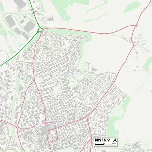
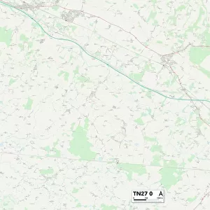
Ashford TN25 6 Map

![]()
Wall Art and Photo Gifts from Map Marketing
Ashford TN25 6 Map
Postcode Sector Map of Ashford TN25 6
Media ID 19982344
Ashford Ashford Road Barrow Hill Bower Road Bridge Road Broad Street Brook Lane Bulls Lane Canterbury Road Church Close Church Field Church Lane Church Road Coopers Lane Downs Way Forge Close Glebelands Greenfields Hythe Road Leafield Lees Road Meadow Grove Millers Court Mountbatten Way Oaklands Old Rectory Close Orchard Close Pilgrims Way Pound Lane Prospect Way Quarry View Ridgeway Station Road Stock Lane Stone Hill Stone Street Swan Lane The Cedars The Chestnuts The Ridgeway The Street The Warren Yew Tree Close Stanford
FEATURES IN THESE COLLECTIONS
> Animals
> Mammals
> Muridae
> Plains Mouse
> Map Marketing
> Postcode Sector Maps
> TN - Tunbridge Wells
> Maps and Charts
> Related Images
MADE IN THE USA
Safe Shipping with 30 Day Money Back Guarantee
FREE PERSONALISATION*
We are proud to offer a range of customisation features including Personalised Captions, Color Filters and Picture Zoom Tools
SECURE PAYMENTS
We happily accept a wide range of payment options so you can pay for the things you need in the way that is most convenient for you
* Options may vary by product and licensing agreement. Zoomed Pictures can be adjusted in the Cart.