Home > Europe > United Kingdom > England > Norfolk > Westfield
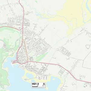
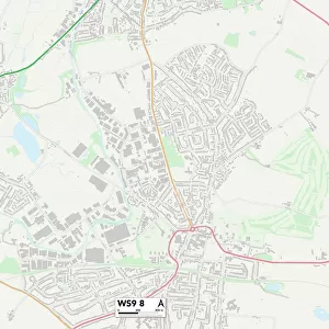
York YO26 7 Map

![]()
Wall Art and Photo Gifts from Map Marketing
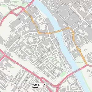
York YO26 7 Map
Postcode Sector Map of York YO26 7
Media ID 19980556
Back Lane Blind Lane Church Street Crawford Close Fleet Lane Hutton Drive Hutton Street Kendal Gardens Kirk Lane Lucas Road Marston Road Moor Lane Norfolk Gardens Old Lane Saddlers Way Spring Lane Springfield Lane The Green Westfield Road Westlands Wetherby Road York York Road Long Marston
FEATURES IN THESE COLLECTIONS
> Europe
> United Kingdom
> England
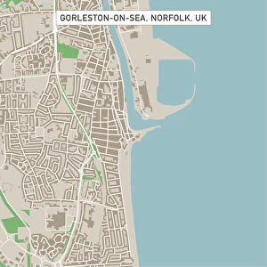
> Norfolk
> North Green
> Europe
> United Kingdom
> England
> Norfolk
> Related Images
> Europe
> United Kingdom
> England
> Norfolk
> South Green
> Europe
> United Kingdom
> England
> Norfolk
> Westfield
> Map Marketing
> Postcode Sector Maps
> YO - York
> Maps and Charts
> Related Images
MADE IN THE USA
Safe Shipping with 30 Day Money Back Guarantee
FREE PERSONALISATION*
We are proud to offer a range of customisation features including Personalised Captions, Color Filters and Picture Zoom Tools
SECURE PAYMENTS
We happily accept a wide range of payment options so you can pay for the things you need in the way that is most convenient for you
* Options may vary by product and licensing agreement. Zoomed Pictures can be adjusted in the Cart.