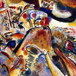
Home > Abstract Art > Painting > Related Images
Provinces of Zelanda, Utrecht, Gheldria and Dutch Brabante with the southern part of Holland, engraving by G. Zuliani taken from Tome I of the "Newest Atlas" published in Venice in 1777 by Antonio Zatta, Private Collection

![]()
Wall Art and Photo Gifts from Fondazione Alinari per la Fotografia
Provinces of Zelanda, Utrecht, Gheldria and Dutch Brabante with the southern part of Holland, engraving by G. Zuliani taken from Tome I of the "Newest Atlas" published in Venice in 1777 by Antonio Zatta, Private Collection
Provinces of Zelanda, Utrecht, Gheldria and Dutch Brabante with the southern part of Holland, engraving by G. Zuliani taken from Tome I of the "Newest Atlas" published in Venice in 1777 by Antonio Zatta, Private Collection Florence Engraving Eighteenth Century, Renaissance-Baroque styles and periods, Europe, First and Second Millennium A.D.. Date of Photograph:2009. Date of Artwork:1777. Artist:Zuliani G
Alinari
PDP-A-ZATTA1-0070
Media ID 33187651
© Alinari Archives, Florence
Cartography Drawing And Graphics Geographical Or Topographical Map Geography Graphics Instrument And Document Scene Means Of Communication Seaeighteenth Century Territory Abstract Concept And Symbol Concept Or Subject Expressed
FEATURES IN THESE COLLECTIONS
> Abstract Art
> Painting
> Related Images
> Arts
> Abstract art
> Arts
> Art Movements
> Baroque
> Arts
> Art Movements
> Renaissance Art
> Arts
> Still life artwork
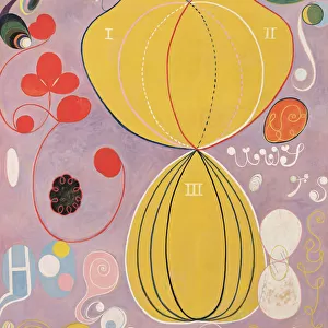
> Abstract art
> Fine art
> Arts
> Minimalist artwork
> Abstract art
> Fine art
> Arts
> Modern art pieces
> Abstract art
> Fine art
> Arts
> Portraits
> Abstract art
> Abstract art gallery
> Arts
> Portraits
> Abstract art
> Abstract paintings
> Arts
> Portraits
> Abstract art
> Fine art gallery
EDITORS COMMENTS
This print showcases an exquisite engraving by G. Zuliani, taken from Tome I of the "Newest Atlas" published in Venice in 1777 by Antonio Zatta. The artwork, now part of a private collection in Florence, depicts the Provinces of Zelanda, Utrecht, Gheldria and Dutch Brabante with the southern part of Holland. With its intricate details and masterful craftsmanship, this engraving epitomizes the Renaissance-Baroque styles and periods that flourished during Europe's first and second millenniums. It serves as a testament to the artistic brilliance prevalent during that era. The map itself is not merely a representation of geographical territories but also an allegory for communication and cartography. It symbolizes mankind's continuous quest to understand and navigate their surroundings through drawing graphics and maps. As we delve into this artwork further, we are transported back to the eighteenth century when such engravings were vital instruments for documenting geography. This piece exemplifies how maps served as both practical tools for navigation while also expressing abstract concepts about territory. The photograph was captured in 2009 by Alinari, a renowned photography company specializing in art documentation. Through their lens, they have preserved this remarkable piece from history - allowing us to appreciate its beauty even centuries later. In conclusion, this print offers us a glimpse into the rich cultural heritage of Europe during the Renaissance-Baroque period. It reminds us of our ancestors' ingenuity in creating detailed maps that not only guided them physically but also expressed profound ideas about our world.
MADE IN THE USA
Safe Shipping with 30 Day Money Back Guarantee
FREE PERSONALISATION*
We are proud to offer a range of customisation features including Personalised Captions, Color Filters and Picture Zoom Tools
SECURE PAYMENTS
We happily accept a wide range of payment options so you can pay for the things you need in the way that is most convenient for you
* Options may vary by product and licensing agreement. Zoomed Pictures can be adjusted in the Cart.