Canvas Print > Europe > United Kingdom > England > London > Museums > National Maritime Museum
Canvas Print : Sketch of communication from York on Lake Ontario to Glouscester [sic] or Machidash Bay Lake Huron taken by Lieut.t Pilkington of the Roy.l Engineers and Alex.r Aitken Deputy Surveyor in October 1793. 1793 (Paper)
![Sketch of communication from York on Lake Ontario to Glouscester [sic] or Machidash Bay Lake Huron taken by Lieut.t Pilkington of the Roy.l Engineers and Alex.r Aitken Deputy Surveyor in October 1793. 1793 (Paper)](/image/690/38371960/38371960_600_600_7037_367_fill_0_a7d5cf28a4a075f3c41c4e6e932b65ab.jpg.webp "Sketch of communication from York on Lake Ontario to Glouscester [sic] or Machidash Bay Lake Huron taken by Lieut.t Pilkington of the Roy.l Engineers and Alex.r Aitken Deputy Surveyor in October 1793. 1793 (Paper)")
![Sketch of communication from York on Lake Ontario to Glouscester [sic] or Machidash Bay Lake Huron taken by Lieut.t Pilkington of the Roy.l Engineers and Alex.r Aitken Deputy Surveyor in October 1793. 1793 (Paper)](/p/690/sketch-communication-york-lake-ontario-38371960.jpg.webp "Sketch of communication from York on Lake Ontario to Glouscester [sic] or Machidash Bay Lake Huron taken by Lieut.t Pilkington of the Roy.l Engineers and Alex.r Aitken Deputy Surveyor in October 1793. 1793 (Paper)")
![]()
Canvas Prints from Fine Art Finder
Sketch of communication from York on Lake Ontario to Glouscester [sic] or Machidash Bay Lake Huron taken by Lieut.t Pilkington of the Roy.l Engineers and Alex.r Aitken Deputy Surveyor in October 1793. 1793 (Paper)
7340484 Sketch of communication from York on Lake Ontario to Glouscester [sic] or Machidash Bay Lake Huron taken by Lieut.t Pilkington of the Roy.l Engineers and Alex.r Aitken Deputy Surveyor in October 1793. 1793 (Paper) by Pilkington, Robert (18th century); 57.7x25.7 cm; National Maritime Museum, London, UK; (add.info.: Creator: Robert Pilkington; Alexander Aitken
Single sheet. Col. ms. Medium: Segmented and backed. Scale: 1:150 000 (bar). Cartographic Note: Scale in miles. Additional Places: Canada. Contents Note: Shows Simcoe's route from Hollands River and back, Contains a note on the navigability of Lake Simcoe.); © National Maritime Museum, Greenwich, London
Media ID 38371960
© © National Maritime Museum, Greenwich, London / Bridgeman Images
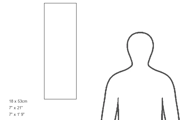
21"x7" (53x18cm) Canvas Print
Transform your space with a stunning canvas print of this historic sketch from 1793, capturing the communication route from York on Lake Ontario to Glouscester or Machidash Bay Lake Huron. A unique piece of art for any history enthusiast's collection.
Delivered stretched and ready to hang our premium quality canvas prints are made from a polyester/cotton blend canvas and stretched over a 1.25" (32mm) kiln dried knot free wood stretcher bar. Packaged in a plastic bag and secured to a cardboard insert for safe transit.
Canvas Prints add colour, depth and texture to any space. Professionally Stretched Canvas over a hidden Wooden Box Frame and Ready to Hang
Estimated Product Size is 17.8cm x 53.3cm (7" x 21")
These are individually made so all sizes are approximate
Artwork printed orientated as per the preview above, with portrait (vertical) orientation to match the source image.
FEATURES IN THESE COLLECTIONS
> Animals
> Insects
> Hemiptera
> Black Scale
> Arts
> Artists
> W
> Robert White
> Europe
> United Kingdom
> England
> London
> Boroughs
> Greenwich
> Europe
> United Kingdom
> England
> London
> Museums
> Greenwich Heritage Centre
> Europe
> United Kingdom
> England
> London
> Museums
> National Maritime Museum
> Europe
> United Kingdom
> England
> London
> Towns
> Greenwich
> Europe
> United Kingdom
> Heritage Sites
> Maritime Greenwich
> Europe
> United Kingdom
> Maps
> Maps and Charts
> Early Maps
> Fine Art Finder
> Artists
> Jacopo Vesconte Maggiolo
EDITORS COMMENTS
This stunning sketch captures a moment in history, showcasing the communication route from York on Lake Ontario to Gloucester or Machidash Bay on Lake Huron. Created by Lieut.t Pilkington of the Royal Engineers and Alexander Aitken, Deputy Surveyor, in October 1793, this intricate map provides valuable insight into early Canadian cartography.
The detailed lines and annotations on the map reveal Simcoe's route from Hollands River and back, along with a note on the navigability of Lake Simcoe. The scale of 1:150,000 allows viewers to appreciate the vastness of the landscape and the challenges faced by early explorers navigating these waters.
Displayed at the National Maritime Museum in London, this piece is a testament to the skill and dedication of those who mapped out uncharted territories centuries ago. The black-and-white aesthetic adds a sense of timelessness to the image, inviting us to step back in time and imagine what it was like to travel through these regions during the 18th century.
As we gaze upon this historical artifact, we are reminded of the importance of communication networks in shaping our world today. This sketch serves as a reminder of how far we have come since those early days of exploration and discovery.
MADE IN THE USA
Safe Shipping with 30 Day Money Back Guarantee
FREE PERSONALISATION*
We are proud to offer a range of customisation features including Personalised Captions, Color Filters and Picture Zoom Tools
SECURE PAYMENTS
We happily accept a wide range of payment options so you can pay for the things you need in the way that is most convenient for you
* Options may vary by product and licensing agreement. Zoomed Pictures can be adjusted in the Cart.