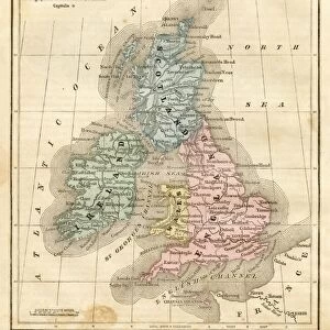
Canvas Print > Arts > Artists > B > Augustus Butler
Canvas Print : Map of British Provinces Canada1881


![]()
Canvas Prints from Fine Art Storehouse
Map of British Provinces Canada1881
A System of Modern Geography designed for the use of schools and academies by Augustus Mitchell - Published by T. H. Butler / Philadelphia 1881
Unleash your creativity and transform your space into a visual masterpiece!
THEPALMER
Media ID 18357223
20"x16" (51x41cm) Canvas Print
Step back in time with our exquisite Canvas Print of "A System of Modern Geography: Map of British Provinces Canada 1881" by THEPALMER from our Media Storehouse Fine Art collection. This captivating vintage map, published by T. H. Butler in Philadelphia in 1881, is a beautiful addition to any home or office. The intricate details and rich colors are brought to life on high-quality canvas, creating a stunning piece of art that tells a story of history and cartography. Transport yourself to a bygone era with this unique and captivating canvas print.
Delivered stretched and ready to hang our premium quality canvas prints are made from a polyester/cotton blend canvas and stretched over a 1.25" (32mm) kiln dried knot free wood stretcher bar. Packaged in a plastic bag and secured to a cardboard insert for safe transit.
Canvas Prints add colour, depth and texture to any space. Professionally Stretched Canvas over a hidden Wooden Box Frame and Ready to Hang
Estimated Product Size is 50.8cm x 40.6cm (20" x 16")
These are individually made so all sizes are approximate
Artwork printed orientated as per the preview above, with landscape (horizontal) orientation to match the source image.
FEATURES IN THESE COLLECTIONS
> Arts
> Artists
> B
> Augustus Butler
> Maps and Charts
> Related Images
EDITORS COMMENTS
This print showcases a historical gem, the "Map of British Provinces Canada 1881" meticulously crafted by Augustus Mitchell and published in Philadelphia in the same year. A true testament to Mitchell's expertise, this map was specifically designed for educational purposes, catering to schools and academies of that era. The intricate details and vibrant colors of this vintage map transport us back to a time when cartography was both an art form and a means of exploration. It offers us a glimpse into the geographical landscape of Canada during the late 19th century, highlighting its various provinces under British rule. With T. H. Butler as the publisher, this particular print holds immense historical value. Its presence evokes curiosity about how students from yesteryears would have used it as an essential tool for their studies or perhaps even as decoration within classrooms. "The Map of British Provinces Canada 1881" is not just a visual delight but also serves as a window into our past. It reminds us of the importance placed on education and geography during that period while honoring Augustus Mitchell's contribution to these fields. As we admire this remarkable piece captured by THEPALMER for Fine Art Storehouse, let us appreciate its significance in preserving history through artistry—a timeless reminder that knowledge knows no bounds when shared through beautifully crafted maps like these.
MADE IN THE USA
Safe Shipping with 30 Day Money Back Guarantee
FREE PERSONALISATION*
We are proud to offer a range of customisation features including Personalised Captions, Color Filters and Picture Zoom Tools
SECURE PAYMENTS
We happily accept a wide range of payment options so you can pay for the things you need in the way that is most convenient for you
* Options may vary by product and licensing agreement. Zoomed Pictures can be adjusted in the Cart.