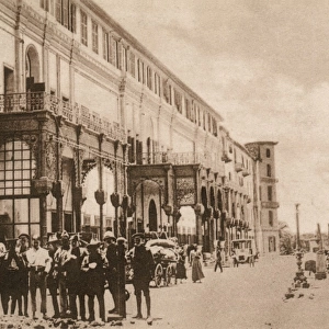
Canvas Print : Seaport of Alexandria, Egypt, by G. H. Davis


![]()
Canvas Prints from Mary Evans Picture Library
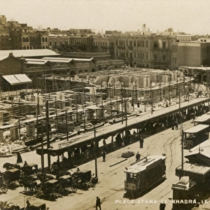
Seaport of Alexandria, Egypt, by G. H. Davis
Alexandria, Egypts chief seaport since 330 BC, and chief naval base of the Allied Mediterranean Fleet during the Second World War. A panoramic relief diagram of the city and seaport, threatened by Axis warplanes operating from Crete and Libya.
1941
Mary Evans Picture Library makes available wonderful images created for people to enjoy over the centuries
Media ID 14125643
© Illustrated London News Ltd/Mary Evans
1941 Alexandria Allied Allies Axis Chief Davis Diagram Double Maps Mediterranean Panoramic Seaport Spread Threat Threatened Base Warplanes
30"x20" (76x51cm) Canvas Print
Introducing the stunning Canvas Print of "Seaport of Alexandria, Egypt, by G. H. Davis" from our Media Storehouse collection. This iconic image, published by Illustrated London News Ltd/Mary Evans from Mary Evans Prints Online, captures the timeless beauty and historical significance of Alexandria's seaport. Dating back to 330 BC, Alexandria has been Egypt's chief seaport and a vital naval base throughout history, including during the Second World War. Our high-quality Canvas Print brings the rich history and vibrant colors of this captivating scene into your home or office. Experience the magic of Alexandria's seaport like never before with Media Storehouse's Canvas Print.
Delivered stretched and ready to hang our premium quality canvas prints are made from a polyester/cotton blend canvas and stretched over a 1.25" (32mm) kiln dried knot free wood stretcher bar. Packaged in a plastic bag and secured to a cardboard insert for safe transit.
Canvas Prints add colour, depth and texture to any space. Professionally Stretched Canvas over a hidden Wooden Box Frame and Ready to Hang
Estimated Product Size is 76.2cm x 50.8cm (30" x 20")
These are individually made so all sizes are approximate
Artwork printed orientated as per the preview above, with landscape (horizontal) orientation to match the source image.
EDITORS COMMENTS
This panoramic relief diagram by renowned illustrator G.H. Davis depicts Alexandria, Egypt's ancient and chief seaport since 330 BC, and the crucial naval base of the Allied Mediterranean Fleet during the momentous events of World War II. The image, published by the Illustrated London News in 1941, offers a breathtaking view of the city and its harbor, nestled along the Mediterranean coast. Alexandria, a cultural melting pot and a vital strategic location, was under constant threat during the war from Axis warplanes operating from Crete and Libya. The British and Allied forces, determined to protect this vital city and naval base, worked tirelessly to maintain control of the waters and secure their position in the Mediterranean. The intricate detail in Davis's map reveals the layout of the city and its harbor, including the various docks, fortifications, and military installations. The double-page spread, with its expansive view and clear labeling, offers a unique perspective on the geography and military significance of Alexandria during this pivotal period in history. As the Allied forces faced the threat of German and Axis aggression, the importance of Alexandria's seaport and naval base became more apparent than ever. This image serves as a testament to the resilience and determination of the Allied forces, as they worked to protect this ancient city and secure their position in the Mediterranean theatre of World War II.
MADE IN THE USA
Safe Shipping with 30 Day Money Back Guarantee
FREE PERSONALISATION*
We are proud to offer a range of customisation features including Personalised Captions, Color Filters and Picture Zoom Tools
SECURE PAYMENTS
We happily accept a wide range of payment options so you can pay for the things you need in the way that is most convenient for you
* Options may vary by product and licensing agreement. Zoomed Pictures can be adjusted in the Cart.