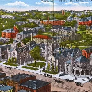
Home > North America > United States of America > Connecticut > New Haven
Americas first national map, 1784 (hand-coloured engraving)
")
![]()
Wall Art and Photo Gifts from Fine Art Finder
Americas first national map, 1784 (hand-coloured engraving)
1268148 Americas first national map, 1784 (hand-coloured engraving) by Buell, Abel (1742-1822); 115.2x128.6 cm; Private Collection; (add.info.: New and correct map of the United States of North America layd down from the latest observations and best authorities agreeable to the Peace of 1783, humbly inscribed to his excellency the Governor and Company of the State of Connecticut by their most obedient and very humble servant, Abel Buell, New Haven, 1784); Photo eChristies Images; American, out of copyright
Media ID 22314266
© Christie's Images / Bridgeman Images
1783 Americas Independence Mapping North American Patriotic Territories Territory Treaty Of Paris Peace Of Paris
FEATURES IN THESE COLLECTIONS
> Europe
> France
> Paris
> Maps
> Fine Art Finder
> Artists
> Andre Charles (attr. to) Boulle
> Fine Art Finder
> Maps (celestial & Terrestrial)
> Maps and Charts
> Early Maps
> North America
> Related Images
> North America
> United States of America
> Connecticut
> New Haven
> North America
> United States of America
> Connecticut
> Related Images
> North America
> United States of America
> Maps
EDITORS COMMENTS
This print showcases America's first national map, a hand-coloured engraving created in 1784 by Abel Buell. Measuring an impressive 115.2x128.6 cm, this historic piece is part of a private collection and holds immense significance in the realm of cartography. Titled "New and correct map of the United States of North America" this masterpiece was meticulously crafted using the latest observations and best authorities available at that time. It pays homage to the Peace Treaty of 1783, which marked America's independence from British rule. The inscription on the map reveals Buell's humble dedication to his excellency, the Governor and Company of Connecticut State. This remarkable work not only captures geographical details but also serves as a patriotic symbol for American identity during its early years as a nation. With intricate detailing and precision, this engraving provides valuable insights into the territories that constituted North America at that time. Its historical significance lies in its depiction of boundaries established by the Treaty of Paris, shaping American history forever. As we gaze upon this extraordinary image, we are transported back to a pivotal moment in United States' past—a testament to our rich heritage and enduring spirit as Americans.
MADE IN THE USA
Safe Shipping with 30 Day Money Back Guarantee
FREE PERSONALISATION*
We are proud to offer a range of customisation features including Personalised Captions, Color Filters and Picture Zoom Tools
SECURE PAYMENTS
We happily accept a wide range of payment options so you can pay for the things you need in the way that is most convenient for you
* Options may vary by product and licensing agreement. Zoomed Pictures can be adjusted in the Cart.