Fine Art Print > North America > United States of America > Massachusetts > Worcester
Fine Art Print : MA Worcester Upton Vector Road Map


![]()
Fine Art Prints from Fine Art Storehouse
MA Worcester Upton Vector Road Map
MA Worcester Upton Vector Road Map. All source data is in the public domain. U.S. Census Bureau Census Tiger. Used Layers: areawater, linearwater, roads, rails, cousub, pointlm, uac10
Unleash your creativity and transform your space into a visual masterpiece!
Frank Ramspott
Media ID 20691641
© Frank Ramspott, all rights reserved
City Map Computer Graphic County Digital Composite District Geographical Border Massachusetts Road Map Text Vector Worcester Digitally Generated Image George Hill Upton
20"x20" (+3" Border) Fine Art Print
Discover the unique fusion of art and cartography with our MA Worcester Upton Vector Road Map print from the Media Storehouse Fine Art collection. This stunning piece, created by Frank Ramspott, transforms the city of Worcester, Massachusetts into a work of art using public domain data from the U.S. Census Bureau. The intricate vector design highlights the roads, waterways, and landmarks of the city, inviting you to explore its beauty in a fresh and captivating way. Add this exquisite print to your home or office decor and let the allure of Worcester's urban landscape inspire you every day.
20x20 image printed on 26x26 Fine Art Rag Paper with 3" (76mm) white border. Our Fine Art Prints are printed on 300gsm 100% acid free, PH neutral paper with archival properties. This printing method is used by museums and art collections to exhibit photographs and art reproductions.
Our fine art prints are high-quality prints made using a paper called Photo Rag. This 100% cotton rag fibre paper is known for its exceptional image sharpness, rich colors, and high level of detail, making it a popular choice for professional photographers and artists. Photo rag paper is our clear recommendation for a fine art paper print. If you can afford to spend more on a higher quality paper, then Photo Rag is our clear recommendation for a fine art paper print.
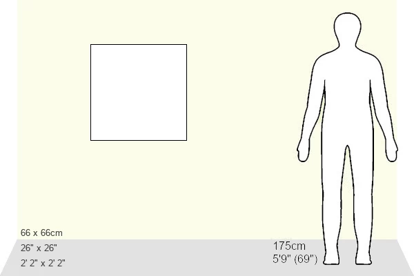
Estimated Image Size (if not cropped) is 50.8cm x 50.8cm (20" x 20")
Estimated Product Size is 66cm x 66cm (26" x 26")
These are individually made so all sizes are approximate
Artwork printed orientated as per the preview above, with landscape (horizontal) or portrait (vertical) orientation to match the source image.
FEATURES IN THESE COLLECTIONS
> Animals
> Mammals
> Cats (Wild)
> Tiger
> Arts
> Contemporary art
> Digital artwork
> Street art
> Arts
> Street art graffiti
> Digital art
> Digital paintings
> Maps and Charts
> Related Images
> North America
> United States of America
> Massachusetts
> Worcester
> Popular Themes
> Lake District
> Fine Art Storehouse
> Map
> Reference Maps
EDITORS COMMENTS
This print showcases the intricate details of the MA Worcester Upton Vector Road Map. Created by Frank Ramspott, this digitally generated image is a testament to his exceptional cartography skills. The map encompasses various elements such as roads, rails, rivers, lakes, and city boundaries with utmost precision. Rendered in vibrant colors and presented in a vector format, this visually striking composition brings together the beauty of design and technology. With no people present in the frame, the focus solely lies on the artistry of mapping. The MA Worcester Upton Vector Road Map is based on publicly available data from sources like the U. S. Census Bureau Census Tiger. Layers including areawater, linearwater, roads, rails, cousub (county subdivisions), pointlm (landmarks), and uac10 (urban area clusters) have been utilized to create this comprehensive representation. Featuring prominent locations like Worcester, Upton, North Milford, Kittville, and George Hill among others, this artwork serves as an invaluable resource for anyone seeking to navigate through these areas or explore their geographical features. With its meticulous attention to detail and seamless digital composite work, Frank Ramspott's creation stands as a remarkable example of modern cartography that seamlessly blends physical geography with computer graphics. The result is an aesthetically pleasing yet informative piece that will captivate any admirer of maps or fine art alike.
MADE IN THE USA
Safe Shipping with 30 Day Money Back Guarantee
FREE PERSONALISATION*
We are proud to offer a range of customisation features including Personalised Captions, Color Filters and Picture Zoom Tools
SECURE PAYMENTS
We happily accept a wide range of payment options so you can pay for the things you need in the way that is most convenient for you
* Options may vary by product and licensing agreement. Zoomed Pictures can be adjusted in the Cart.