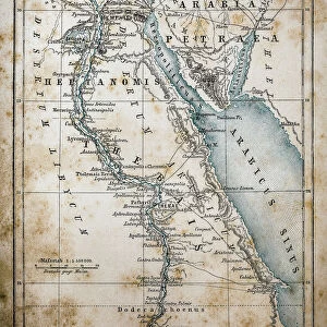
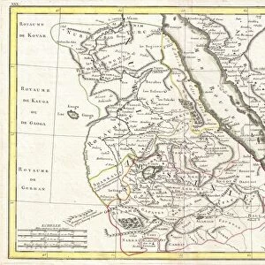
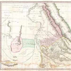
Fine Art Print > Africa > Related Images
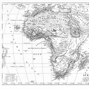
Fine Art Print : Map Egypt and Sudan


![]()
Fine Art Prints From Mary Evans Picture Library
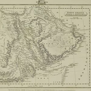
Map Egypt and Sudan
Map covering the area from the Nile delta to the Mountains of the Moon. Zambia and the Zaire river are marked. Date: 16th century
Mary Evans Picture Library makes available wonderful images created for people to enjoy over the centuries
Media ID 14113533
© Mary Evans Picture Library
Area Covering Delta Maps Marked Moon Nile Sudan Zaire Zambia
20"x16" (+3" Border) Fine Art Print
Discover the rich history and cultural wonders of Egypt and Sudan with our exquisite Fine Art Print from Media Storehouse, featuring a captivating 16th-century map from Mary Evans Prints Online. This intricately detailed map transports you back in time, highlighting the Nile delta, the majestic Nile River, and the vast expanse of deserts and territories that once formed the ancient civilizations of Egypt and Sudan. With a focus on historical accuracy, this Rights Managed print is an essential addition to any home or office, inspiring curiosity and education. Bring history to life with Media Storehouse's Fine Art Prints.
20x16 image printed on 26x22 Fine Art Rag Paper with 3" (76mm) white border. Our Fine Art Prints are printed on 300gsm 100% acid free, PH neutral paper with archival properties. This printing method is used by museums and art collections to exhibit photographs and art reproductions.
Our fine art prints are high-quality prints made using a paper called Photo Rag. This 100% cotton rag fibre paper is known for its exceptional image sharpness, rich colors, and high level of detail, making it a popular choice for professional photographers and artists. Photo rag paper is our clear recommendation for a fine art paper print. If you can afford to spend more on a higher quality paper, then Photo Rag is our clear recommendation for a fine art paper print.
Estimated Image Size (if not cropped) is 40.6cm x 46.5cm (16" x 18.3")
Estimated Product Size is 55.9cm x 66cm (22" x 26")
These are individually made so all sizes are approximate
Artwork printed orientated as per the preview above, with portrait (vertical) orientation to match the source image.
MADE IN THE USA
Safe Shipping with 30 Day Money Back Guarantee
FREE PERSONALISATION*
We are proud to offer a range of customisation features including Personalised Captions, Color Filters and Picture Zoom Tools
FREE COLORIZATION SERVICE
You can choose advanced AI Colorization for this picture at no extra charge!
SECURE PAYMENTS
We happily accept a wide range of payment options so you can pay for the things you need in the way that is most convenient for you
* Options may vary by product and licensing agreement. Zoomed Pictures can be adjusted in the Basket.