
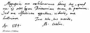
Abraham Ortelius Collection
Abraham Ortelius, a renowned cartographer of the 16th century, left an indelible mark on the world with his meticulously crafted maps


For sale as Licensed Images
Choose your image, Select your licence and Download the media
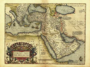
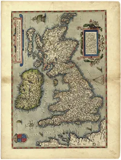
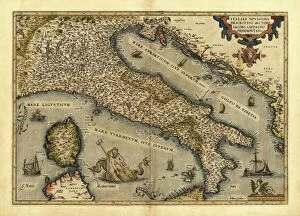
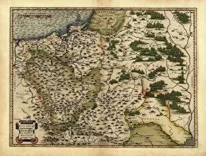
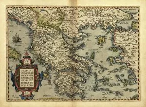
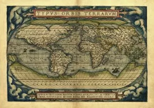
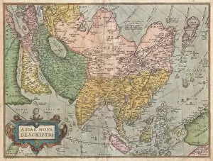
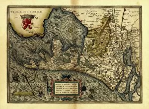
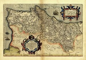
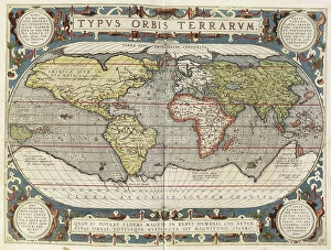
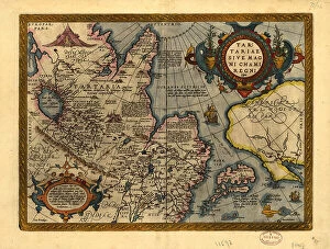
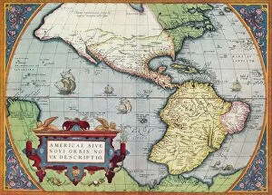
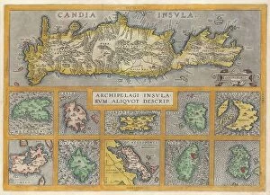
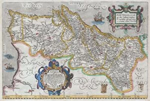
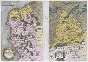
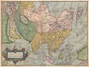
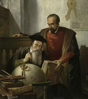
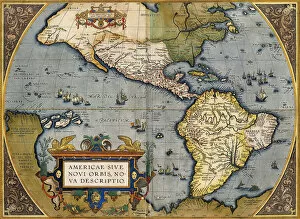
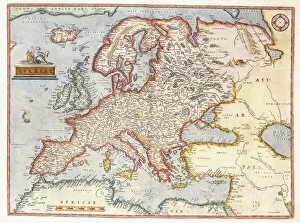
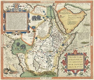
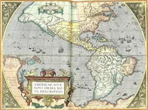
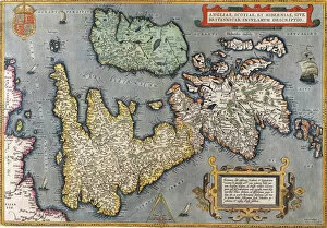
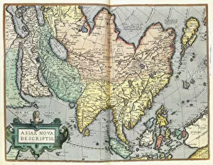
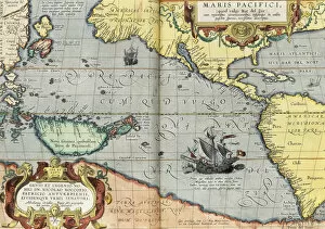
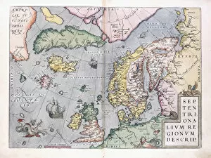
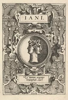
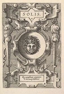
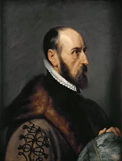
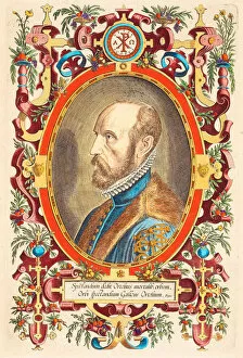
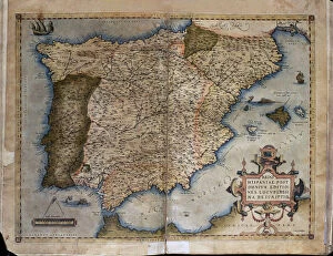
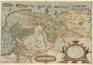
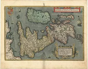
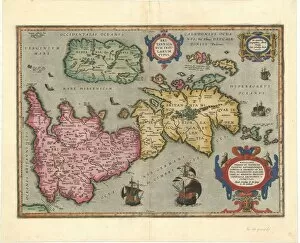
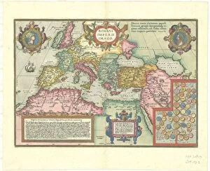
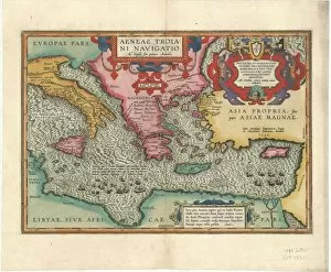
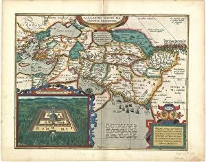
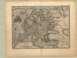
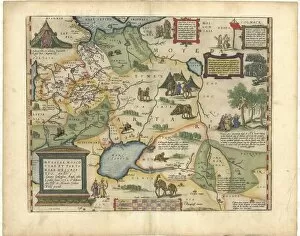
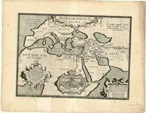
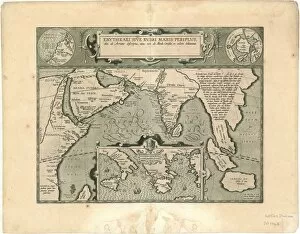
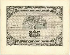
Abraham Ortelius, a renowned cartographer of the 16th century, left an indelible mark on the world with his meticulously crafted maps. His works were not only accurate representations of geographical locations but also pieces of art that captured the essence and beauty of various regions. One such masterpiece is Orteliuss map of Ottoman Empire from 1570. This intricately detailed map showcased the vast expanse and cultural richness of this powerful empire. Similarly, his map of Italy provided a comprehensive view of this historically significant country, highlighting its diverse landscapes and iconic cities. Ortelius's maps extended beyond Europe as well. His depiction of Poland revealed its grandeur and strategic importance during that era. Greece, too, found its place in his collection with a stunning portrayal that celebrated its ancient heritage and architectural wonders. The scope of Ortelius's work was truly global, as seen in his world map from 1570 which showcased continents and oceans with remarkable accuracy for its time. From Holland to Portugal, he meticulously mapped these nations' coastlines and landmarks. Not limited to terrestrial exploration alone, Ortelius delved into depicting celestial bodies as well. In Theatrum Orbis Terrarum by Abraham Ortelius (Antwerp), he presented Salzburg along with a captivating view of the city against a backdrop adorned with stars. Among his notable contributions was the first edition map of Asia in 1570 - an invaluable resource for understanding the continent's vastness and diversity during that period. Additionally, America or the New World received special attention from him in Theatrum Orbis Terrarum by Abraham Ortelius (1570). This groundbreaking piece shed light on newly discovered lands across the Atlantic Ocean. Ortelius's talent extended beyond cartography; he also collaborated with Gerardus Mercator on an oil painting aptly titled "Mercator and Ortelius. " This artwork symbolized their shared passion for mapping and their significant contributions to the field.