
Borders Collection (page 2)
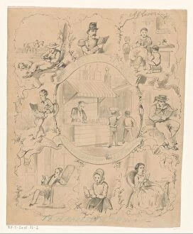
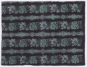
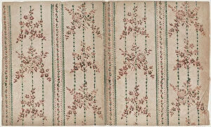
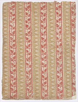
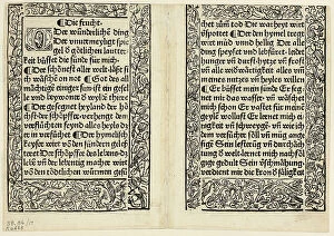
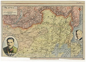
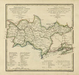
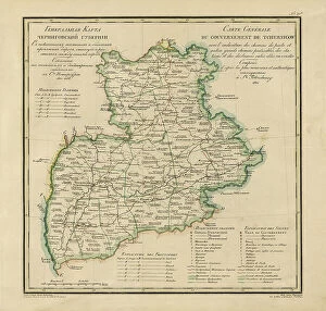
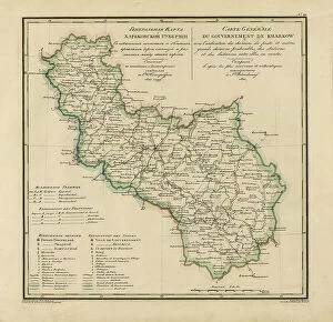
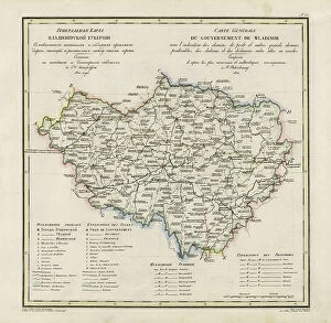
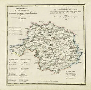
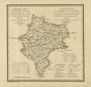
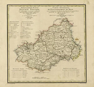
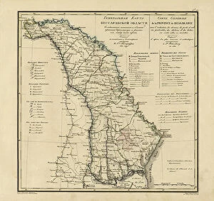
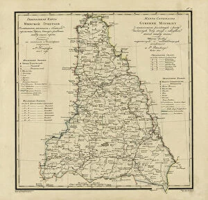
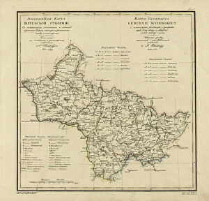
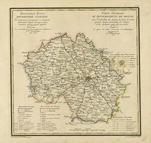
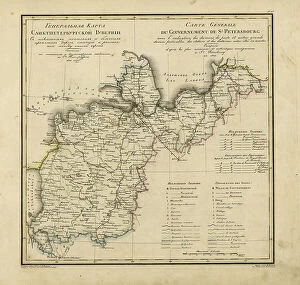
"Borders: A Tapestry of History and Geography" The Daily Mail War Map, a relic from WW1, reminds us of the borders that once divided nations in conflict


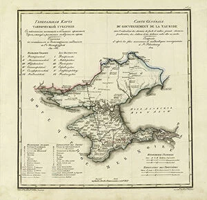
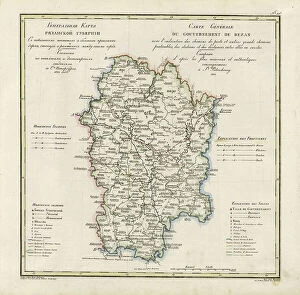
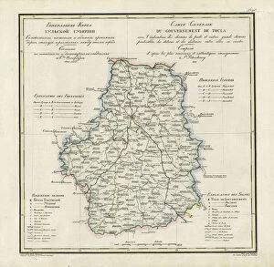
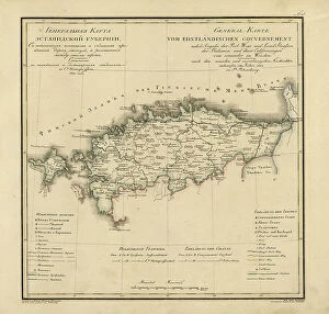


For sale as Licensed Images
Choose your image, Select your licence and Download the media
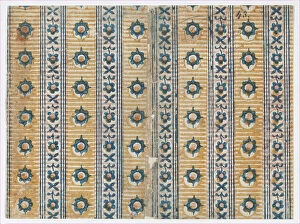
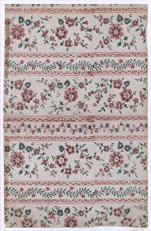
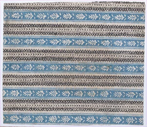
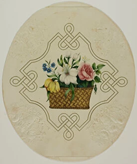
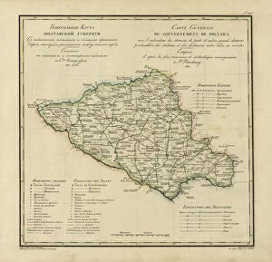
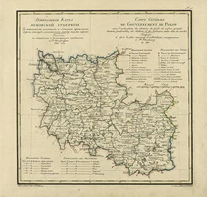
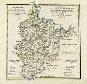
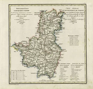
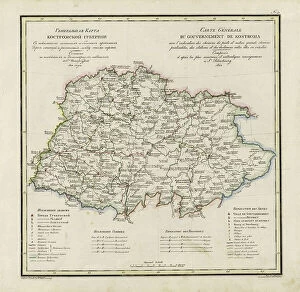
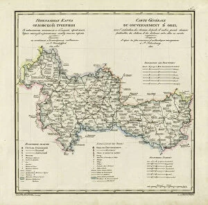
"Borders: A Tapestry of History and Geography" The Daily Mail War Map, a relic from WW1, reminds us of the borders that once divided nations in conflict. Ludlow in the 1950s was a quaint English town where borders between communities were defined by tradition and heritage. A satellite image captures the stunning landscapes of Scotland, showcasing its natural beauty while highlighting its distinct border with England within the United Kingdom. Exploring a map of Guatemala reveals intricate borders that separate regions rich in culture and history. Harlow Carr's main they can meticulously designed, creating an enchanting display of flora that captivates visitors' senses. Trent Locks, located south of Long Eaton in the UK, is where rivers converge to form boundaries - a meeting point for nature's own borders. Eyemouth's Scotch Fishwives at work exemplify how trade and industry can transcend physical borders to connect people across different lands and cultures. St Matilda and Butler Lives intertwine as their stories unfold along historical timelines marked by shifting political boundaries around them. The Coat of Arms of Peebles proudly represents this Scottish town's identity through symbols that reflect its unique position within national borders. A map depicting Europe after the Peace of Tilsit in 1807 showcases how treaties redrawn lines on paper but couldn't erase centuries-old cultural divides etched into people's hearts. Owen Jones Renaiss 78 takes us back to Renaissance Europe when artistic movements transcended national frontiers, blurring boundaries between countries. A map displaying the Kingdoms of Spain and Portugal illustrates their shared history intertwined with territorial disputes throughout centuries. In our world shaped by geographical divisions and historical events, these glimpses into various aspects remind us that "borders" encompass more than just lines on maps; they hold stories waiting to be explored – tales woven into the fabric of our collective human experience.