
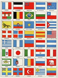
Chilians Collection
"Exploring the Rich Heritage of Chilians: A Glimpse into 19th Century Chile" Step back in time and immerse yourself in the captivating world of Chilians


For sale as Licensed Images
Choose your image, Select your licence and Download the media
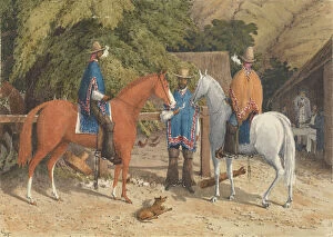
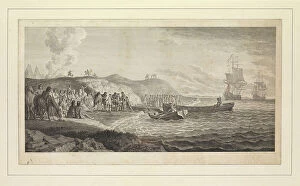
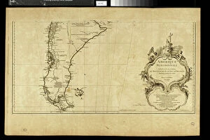
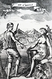
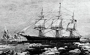
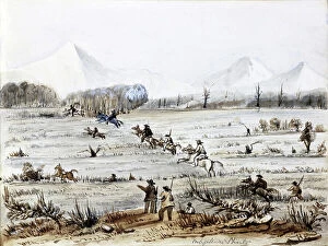
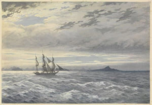
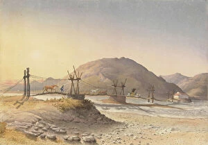
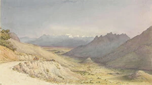
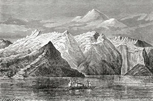
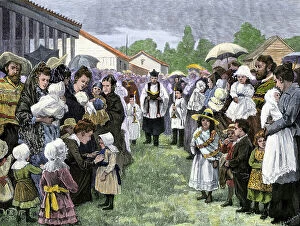
"Exploring the Rich Heritage of Chilians: A Glimpse into 19th Century Chile" Step back in time and immerse yourself in the captivating world of Chilians, as we unveil a collection of intriguing hints that shed light on their fascinating history. From an idyllic scene of a farmer's cart gracefully pulled by cows through the picturesque landscapes of Chile to digital reproductions of original 19th-century paintings, prepare to be transported to a bygone era. Jorge Montt Alvarez, renowned Vice Admiral of the Chilean Navy and President from 1891 to 1896, stands tall as one of Chile's historic figures who left an indelible mark on this vibrant nation. His leadership and naval expertise propelled Chile forward during crucial times. Another influential figure was Jose Manuel Emiliano Balmaceda Fernandez, who served as the 11th President from July 1840 to 1886. Balmaceda Fernandez's presidency witnessed significant developments that shaped modern-day Chile. Delving deeper into history reveals darker chapters such as cannibalism in Tierra del Fuego during the 19th century. An engraving from "L'homme et la bête" by Arthur Mangin (1872) depicts this shocking practice, offering us insight into humanity's complex past. As we journey further south towards Cape Horn, we encounter breathtaking engravings showcasing its majestic beauty. The treacherous waters surrounding it have challenged countless sailors throughout history but also inspired awe with their raw power. Venturing inland brings us face-to-face with hunting scenes set amidst lush Chilian forests. These engravings capture both the thrill and harmony between man and nature—a testament to how deeply intertwined they were in shaping everyday life for Chilians. Market day comes alive through vivid lithographs capturing bustling scenes filled with vibrant colors and lively exchanges—an essential part of Chilian culture where communities gather to trade and connect.