
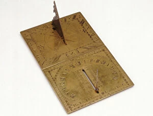
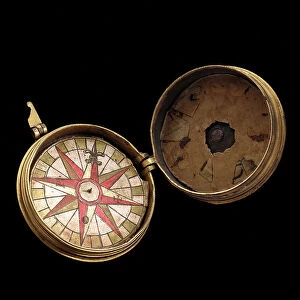
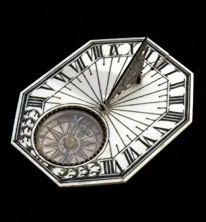
Compass Card Collection
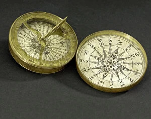
The Compass Card: Navigating the Seas of Discovery Step back in time and immerse yourself in the captivating world of exploration with the remarkable Compass Card


For sale as Licensed Images
Choose your image, Select your licence and Download the media
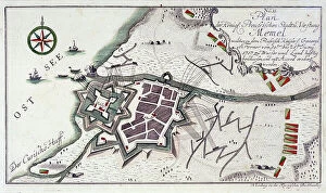
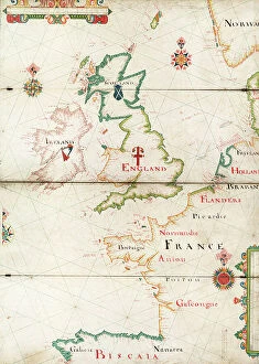
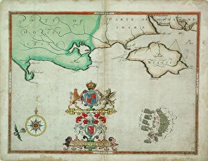
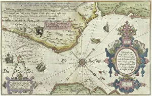
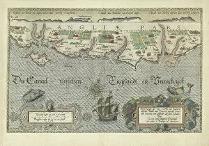
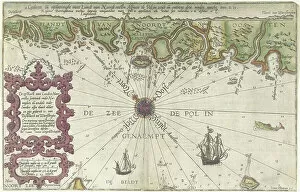
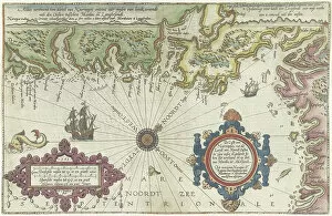
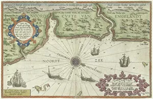
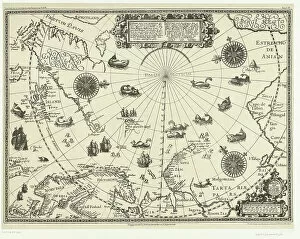
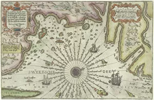
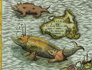
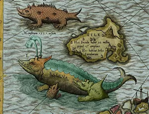
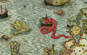
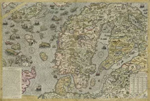
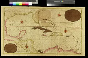
The Compass Card: Navigating the Seas of Discovery Step back in time and immerse yourself in the captivating world of exploration with the remarkable Compass Card. This extraordinary artifact, adorned with intricate engravings, unveils a treasure trove of knowledge about the coastlines that once shaped our understanding of the world. As we gaze upon these beautifully detailed maps, we are transported to an era when intrepid sailors braved uncharted waters and embarked on daring voyages. The Map of the Coast of Flanders, Normandy, and England from 1580-81 reveals a glimpse into their journeys along these historic shores. With each stroke of ink meticulously etched onto paper, this map becomes a testament to human curiosity and ambition. Moving further along our maritime adventure, we encounter maps depicting specific regions such as the English coast between Isle of Wight and Dover or South England's coastal stretch. These engravings from 1580-83 provide invaluable insights into navigation techniques employed during those times. They serve as windows into an age where seafarers relied on instruments like compasses to guide them through treacherous waters. Norway and Sweden also find their place within this collection; their coasts immortalized by skilled cartographers who sought to capture every detail for future generations. From Merdoy to Uddevalla or Kalmar to Stockholm - these maps offer glimpses into lands waiting to be explored. One cannot help but marvel at Olaus Magnus' Carta Marina from 1572 - a masterpiece that showcases not only his artistic prowess but also his deep understanding of marine geography. Its intricately engraved details reveal mythical creatures lurking beneath ocean waves while providing vital information for sailors navigating unfamiliar territories. Intriguingly enough, another map features Arctic Circle countries alongside Dutch voyages in 1598 - a testament to mankind's relentless pursuit of discovery even amidst harsh conditions.