
Coordinates Collection (#7)
"Unlocking the Secrets of Coordinates: Navigating Through Time and Space" Embark on a captivating journey as we delve into the fascinating world of coordinates


For sale as Licensed Images
Choose your image, Select your licence and Download the media
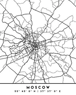
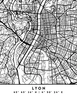
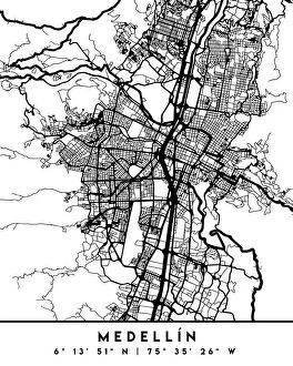
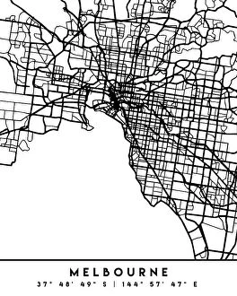
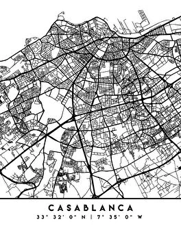
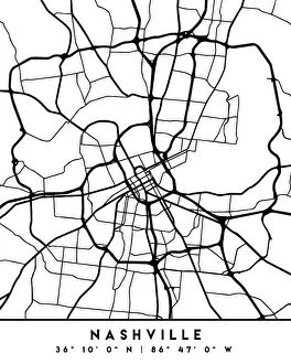
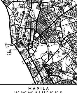
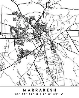
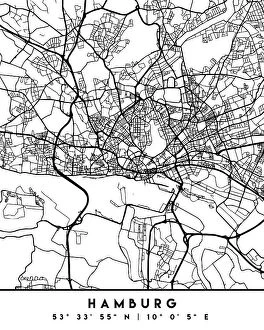
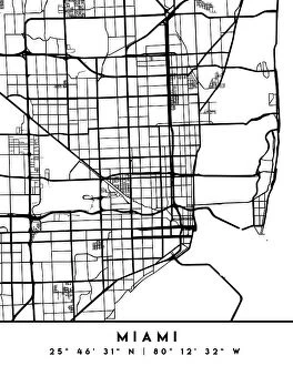
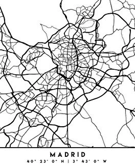
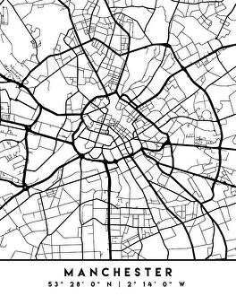
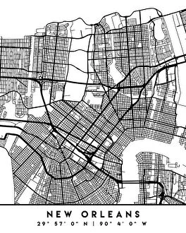
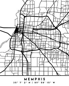
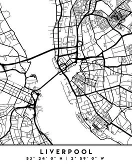
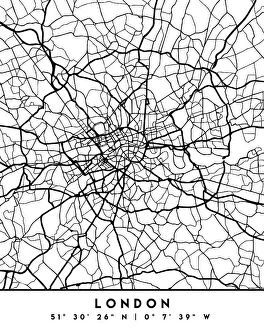
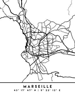
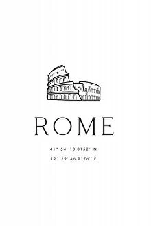
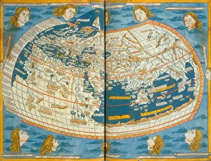
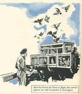
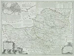
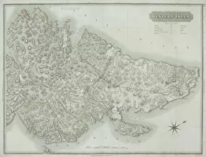
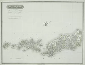
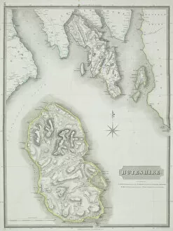
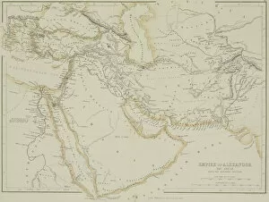
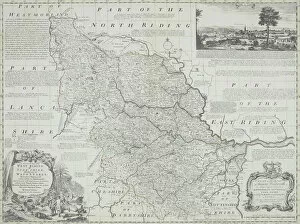
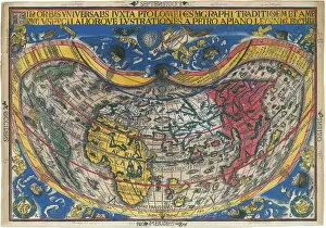
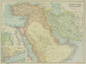
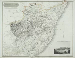
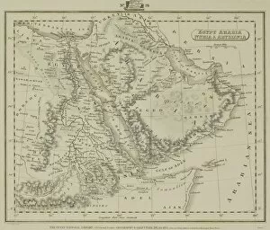
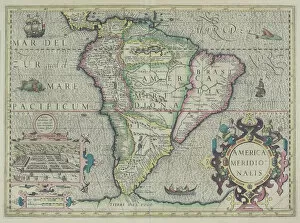
"Unlocking the Secrets of Coordinates: Navigating Through Time and Space" Embark on a captivating journey as we delve into the fascinating world of coordinates. Like a treasure map, an antique depiction of Israel reveals the ancient art of charting locations. Marvel at the Hydra constellations meticulously etched in 1829 C016 / 4412, guiding sailors through uncharted waters. Gaze upon Ursa Major constellation's celestial beauty captured in 1829 C016 / 4387, reminding us that even amidst darkness, there are always stars to guide our way. Discover New York City's bustling energy with its precise coordinates marking its place on Earth's grid. Travel back in time to Rome as you explore its rich history through carefully plotted coordinates alongside a sketch of the majestic Colosseum. Istanbul beckons with its enchanting allure, inviting adventurers to uncover hidden treasures using precise geographical markers. Venture eastward towards Bangkok where vibrant culture meets modernity; let coordinates lead you to this mesmerizing cityscape. Paris awaits your arrival with open arms - follow its coordinates and immerse yourself in romance and timeless elegance. Uncover Barcelona's architectural wonders by tracing its city coordinates; every corner tells a story waiting to be discovered. London calls out from across the Atlantic Ocean - navigate through time zones using these vital markers and embrace British charm. Intriguingly intertwined with history, World War II witnessed R. A. F Messenger Pigeons carrying life-saving messages across treacherous terrains guided by secret codes embedded within their flight paths. Zoom into England's Somerset County as an antique map unveils intricate details about this picturesque region nestled within nature’s embrace – each coordinate leading explorers deeper into English heritage and countryside bliss. Coordinates serve as our universal language connecting people across borders and generations. They unlock mysteries, guide adventures, and remind us that no matter where we stand or what era we find ourselves in, we are all connected by the invisible threads of latitude and longitude.