Country Geographic Area Collection (page 3)

"Exploring the World

Background imageCountry Geographic Area Collection: Chile map 1897

Chile map 1897
The World-Wide Atlas of Modern Geography, Political and Physical W. & A.K. Johnston - London 1897

Background imageCountry Geographic Area Collection: Jamaica Bahamas Trinidad map 1897

Jamaica Bahamas Trinidad map 1897
The World-Wide Atlas of Modern Geography, Political and Physical W. & A.K. Johnston - London 1897

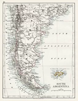
Background imageCountry Geographic Area Collection: South Argentina map 1897

South Argentina map 1897
The World-Wide Atlas of Modern Geography, Political and Physical W. & A.K. Johnston - London 1897

Background imageCountry Geographic Area Collection: United States South West map 1897

United States South West map 1897
The World-Wide Atlas of Modern Geography, Political and Physical W. & A.K. Johnston - London 1897

Background imageCountry Geographic Area Collection: United States North East map 1897

United States North East map 1897
The World-Wide Atlas of Modern Geography, Political and Physical W. & A.K. Johnston - London 1897

Background imageCountry Geographic Area Collection: United States North East Central map 1897

United States North East Central map 1897
The World-Wide Atlas of Modern Geography, Political and Physical W. & A.K. Johnston - London 1897

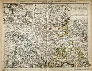
Background imageCountry Geographic Area Collection: Westphalia, Hesse-nassau and Grand Duchy of Hesse Rhine Province

Westphalia, Hesse-nassau and Grand Duchy of Hesse Rhine Province
Illustration of a Westphalia, Hesse-nassau and Grand Duchy of Hesse Rhine Province

Background imageCountry Geographic Area Collection: Germany until the Thirty Years War. (1493-1618)

Germany until the Thirty Years War. (1493-1618)
Illustration of a Germany until the Thirty Years War. (1493-1618)

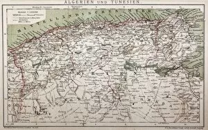
Background imageCountry Geographic Area Collection: Antique map of Algeria and Tunisia

Antique map of Algeria and Tunisia
Illustration of a Antique map of Algeria and Tunisia

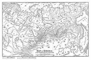
Background imageCountry Geographic Area Collection: Map of Siberia

Map of Siberia - scanned 1888 map

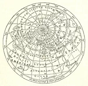
Background imageCountry Geographic Area Collection: Victorian map of the Arctic Circle

Victorian map of the Arctic Circle
A Victorian map of the Arctic Circle and beyond. From Peter Parleyas Annual - A Christmas and New Yearas Present for Young Peoplea published in London by Darton & Co in 1851

Background imageCountry Geographic Area Collection: Victorian Map of Australia

Victorian Map of Australia
Engraved illustrations of the Map of Australia from Iconographic Encyclopedia of Science, Literature and Art, Published in 1851. Copyright has expired on this artwork. Digitally restored

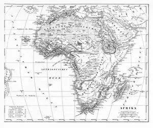
Background imageCountry Geographic Area Collection: Victorian Map of Africa

Victorian Map of Africa
Engraved illustrations of a Map of Africa from Iconographic Encyclopedia of Science, Literature and Art, Published in 1851. Copyright has expired on this artwork. Digitally restored

Background imageCountry Geographic Area Collection: Map of North America

Map of North America
Engraved illustrations of a Map of North America from Iconographic Encyclopedia of Science, Literature and Art, Published in 1851. Copyright has expired on this artwork. Digitally restored

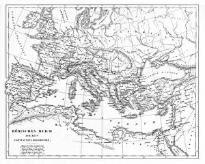
Background imageCountry Geographic Area Collection: Victorian Map of The Roman Empire

Victorian Map of The Roman Empire
Engraved illustrations of the Roman Empire Under Constantine the Great from Iconographic Encyclopedia of Science, Literature and Art, Published in 1851. Copyright has expired on this artwork

Background imageCountry Geographic Area Collection: Victorian Map of North America

Victorian Map of North America
Engraved illustrations of the Physical Map of South America from Iconographic Encyclopedia of Science, Literature and Art, Published in 1851. Copyright has expired on this artwork. Digitally restored

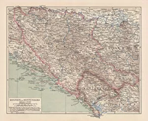
Background imageCountry Geographic Area Collection: Bosnia and Montenegro, lithograph, published in 1881

Bosnia and Montenegro, lithograph, published in 1881
Ancient map of Bosnia and Montenegro. Lithograph, published in 1881

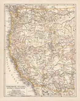
Background imageCountry Geographic Area Collection: United States of America, West Coast, ithograph, published in 1878

United States of America, West Coast, ithograph, published in 1878
United States of America, States on the Pacific Ocean. Lithograph, published in 1878

Background imageCountry Geographic Area Collection: United States of America, States on Mississippi river, lithograph published 1878

United States of America, States on Mississippi river, lithograph published 1878
United States of America, States on the Mississippi river. Lithograph, published in 1878

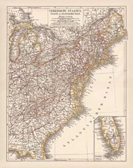
Background imageCountry Geographic Area Collection: United States of America, Atlantic coast, lithograph, published in 1878

United States of America, Atlantic coast, lithograph, published in 1878
United States of America, Atlantic coast. Lithograph, published in 1878

Background imageCountry Geographic Area Collection: United States of America, Mexico and Central America, published in 1878

United States of America, Mexico and Central America, published in 1878
United States of America, Mexico and Central America. Lithograph, published in 1878

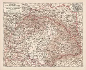
Background imageCountry Geographic Area Collection: Hungary, lithograph, published in 1878

Hungary, lithograph, published in 1878
Ancient map of Hungarian Monarchy, Galicia and Bukovina. Lithograph, published in 1878

Background imageCountry Geographic Area Collection: Tirol, Vorarlberg and Salzburg in Austria, lithograph, published in 1878

Tirol, Vorarlberg and Salzburg in Austria, lithograph, published in 1878
Ancient map of Tirol, Vorarlberg and Salzburg in Austria. Lithograph, published in 1878

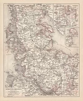
Background imageCountry Geographic Area Collection: Schleswig-Holstein, lithograph, published in 1878

Schleswig-Holstein, lithograph, published in 1878
Map of Schleswig-Holstein. Lithograph, published in 1878

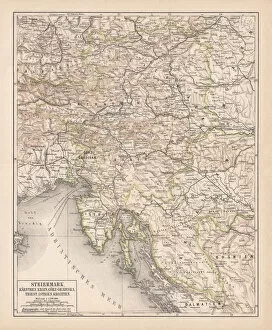
Background imageCountry Geographic Area Collection: Styria, lithograph, published in 1878

Styria, lithograph, published in 1878
Ancient map of Styria: Carinthia, Carniola, GradiAaka, Croatia, Istria, Triest. Lithograph, published in 1878

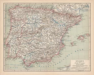
Background imageCountry Geographic Area Collection: Spain and Portugal, lithograph, published in 1878

Spain and Portugal, lithograph, published in 1878
Ancient map of Spain and Portugal. Lithograph, published in 1878

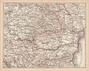
Background imageCountry Geographic Area Collection: Balkan States, lithograph, published in 1878

Balkan States, lithograph, published in 1878
Ancient map of the Balkan States: Romania, Bulgaria, Serbia and Montenegro. Lithograph, published in 1878

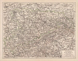
Background imageCountry Geographic Area Collection: Kingdom of Saxony, lithograph, published in 1878

Kingdom of Saxony, lithograph, published in 1878
Kingdom of Saxony. Lithograph, published in 1878

Background imageCountry Geographic Area Collection: Upper Austria, lithograph, published in 1877

Upper Austria, lithograph, published in 1877
Upper Austria (Austria above the Enns, A-sterreich ob der Enns). Lithograph, published in 1877

Background imageCountry Geographic Area Collection: Lower Austria, lithograph, published in 1877

Lower Austria, lithograph, published in 1877
Lower Austria (Austria below the Enns, A-sterreich unter der Enns). Lithograph, published in 1877

Background imageCountry Geographic Area Collection: Ancient map of Mecklenburg, lithograph, published in 1877

Ancient map of Mecklenburg, lithograph, published in 1877
Ancient map of Mecklenburg, Germany. Lithograph, published in 1877

Background imageCountry Geographic Area Collection: Bohemia, Moravia, Austria and Silesia, lithograph, published in 1874

Bohemia, Moravia, Austria and Silesia, lithograph, published in 1874
Bohemia, Moravia, Austria and Silesia. Lithograph, published in 1874

Background imageCountry Geographic Area Collection: Map of Denmark and Iceland, lithograph, published in 1875

Map of Denmark and Iceland, lithograph, published in 1875
Map of Denmark and Iceland. Lithograph, published in 1875

Background imageCountry Geographic Area Collection: Map of Brazil. Lithograph, lithograph, published in 1874

Map of Brazil. Lithograph, lithograph, published in 1874
Antique map of Brazil. Lithograph, published in 1874

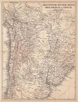
Background imageCountry Geographic Area Collection: Argentina, Bolivia, Chile, Paraguay and Uruguay, lithograph, published in 1874

Argentina, Bolivia, Chile, Paraguay and Uruguay, lithograph, published in 1874
South American countries: Argentina, Bolivia, Chile, Paraguay and Uruguay. Lithograph, published in 1874

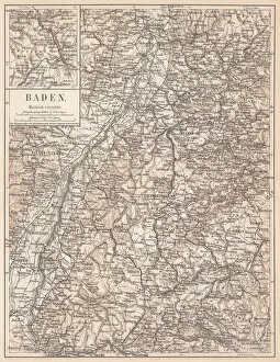
Background imageCountry Geographic Area Collection: Historical German territory of Baden, lithograph, published in 1874

Historical German territory of Baden, lithograph, published in 1874
Map of Baden - a historical German territory (today Baden-Wurttemberg). Lithograph, published in 1874

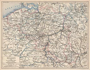
Background imageCountry Geographic Area Collection: Belgium and Luxembourg, lithograph, published in 1874

Belgium and Luxembourg, lithograph, published in 1874
Antique map of Belgium and Luxembourg. Lithograph, published in 1874

Background imageCountry Geographic Area Collection: South America Physical Map, Engraving, 1892

South America Physical Map, Engraving, 1892
Very rare, beautifully detailed engraving of South America Physical Map, Engraving, Published in 1892. Original edition from my own archives. Copyright has expired on this artwork. Digitally restored

Background imageCountry Geographic Area Collection: Map of Denmark and Iceland, lithograph, published in 1881

Map of Denmark and Iceland, lithograph, published in 1881
Topographic map of Denmark and Iceland. Facsimile, published in 1881

Background imageCountry Geographic Area Collection: Konigsberg

Konigsberg
Antique map of Konigsberg

Background imageCountry Geographic Area Collection: England and Wales

England and Wales
Antique map of England and Wales

Background imageCountry Geographic Area Collection: Antique map of Germany

Antique map of Germany from 1815

Background imageCountry Geographic Area Collection: Potsdam and environment

Potsdam and environment
Antique illustration of a Potsdam and environment

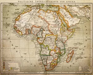
Background imageCountry Geographic Area Collection: Political outline map of Africa

Political outline map of Africa from 1898

Background imageCountry Geographic Area Collection: Germany 1547

Germany 1547
Antique map of Germany from 1547

Background imageCountry Geographic Area Collection: Maputo Bay

Maputo Bay
Antique map of Maputo Bay (BaAia de Maputo), formerly Delagoa Bay, BaAia da Lagoa (in Portuguese) is an inlet of the Indian Ocean on the coast of Mozambique

Background imageCountry Geographic Area Collection: Germany

Germany
Antique map of Germany from 1648

Background imageCountry Geographic Area Collection: South Russia, Crimea and Tauri

South Russia, Crimea and Tauri
Antique map of South Russia, Crimea and Tauri


For sale as Licensed Images

Choose your image, Select your licence and Download the media

"Exploring the World: A Journey through Country Geographic Areas" Embark on a visual voyage as we delve into the diverse and captivating country geographic areas that have shaped our world. From the enchanting Map of Portugal, with its intricate coastlines and charming towns, to witnessing the mesmerizing sunrise over Angkor Wat in Siem Reap, Cambodia – these snapshots transport us to breathtaking destinations. Discover the vastness of America with a highly detailed USA Road Map, guiding us through its sprawling highways and hidden gems. Marvel at China's vast territory captured in an awe-inspiring map that showcases its rich history and cultural heritage. Transport yourself back in time with lithographs like the Map of Netherlands from 1877 or Peru's historical map from 1897, offering glimpses into bygone eras. Journey through time as you explore United States South West Central map from 1897, envisioning how this region has evolved over centuries. Immerse yourself in Costa Rica's Vector Map, highlighting its lush rainforests and vibrant biodiversity. Delve into history with Austro-Hungarian Empire's Habsburg Monarchy lithograph or Ancient Persia's intricately designed map published in 1877. Lastly, be captivated by Sweden and Norway's shared beauty showcased in a lithograph published in 1878 or embark on an exploration of Balkan Peninsula depicted during an important period in history - 1878. Join us on this extraordinary journey across continents as we celebrate the diversity and magnificence found within each country geographic area. Let these maps ignite your wanderlust and inspire your next adventure.