Country Geographic Area Collection (page 4)

"Exploring the World

Background imageCountry Geographic Area Collection: South Russia, Crimea and Tauri

South Russia, Crimea and Tauri
Antique map of South Russia, Crimea and Tauri

Background imageCountry Geographic Area Collection: Germany map from 1786

Germany map from 1786
Antique map of Germany from 1786

Background imageCountry Geographic Area Collection: Salzburg and Lake District

Salzburg and Lake District
Antique illustration of a Salzburg and Lake District

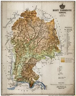
Background imageCountry Geographic Area Collection: Hont County

Hont County
Hont, Honthum, Honth was an administrative county (comitatus) of the Kingdom of Hungary and then shortly of Czechoslovakia

Background imageCountry Geographic Area Collection: Eastern Canada and Newfoundland

Eastern Canada and Newfoundland
Illustration of a Eastern Canada and Newfoundland

Background imageCountry Geographic Area Collection: Kingdom of Saxony, province of Saxony (southern part) and Thuringian states

Kingdom of Saxony, province of Saxony (southern part) and Thuringian states

Background imageCountry Geographic Area Collection: Province of Brandenburg, province of Saxony, northern part

Province of Brandenburg, province of Saxony, northern part
Antique illustration of a Province of Brandenburg, province of Saxony, northern part

Background imageCountry Geographic Area Collection: United States of America, eastern part

United States of America, eastern part
Antique illustration of a United States of America, eastern part

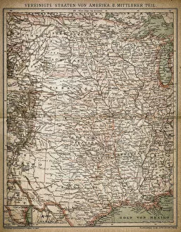
Background imageCountry Geographic Area Collection: United States of America, Middle section

United States of America, Middle section
Antique illustration of a United States of America, Middle section

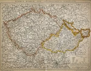
Background imageCountry Geographic Area Collection: Bohemia, Moravia and Austro - Silesia

Bohemia, Moravia and Austro - Silesia
Antique illustration of a Bohemia, Moravia and Austro - Silesia

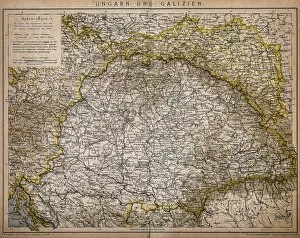
Background imageCountry Geographic Area Collection: Hungary and Galicia

Hungary and Galicia
Antique Illustration map of a Hungary and Galicia

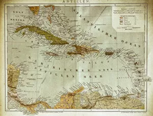
Background imageCountry Geographic Area Collection: West indies, Antilles map

West indies, Antilles map
Illustration of a West indies, Antilles map

Background imageCountry Geographic Area Collection: United States of America map

United States of America map
Antique illustration of a United States of America map

Background imageCountry Geographic Area Collection: Map of Alexanders empire and conquests

Map of Alexanders empire and conquests
Antique illustration Map of Alexanders empire and conquests

Background imageCountry Geographic Area Collection: Map of Africa

Map of Africa
Antique illustration of a map of Africa

Background imageCountry Geographic Area Collection: Local time world map

Local time world map
Antique illustration of a local time world map

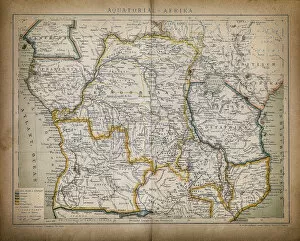
Background imageCountry Geographic Area Collection: Equatorial Africa

Equatorial Africa
Antique illustration of a equatorial Africa

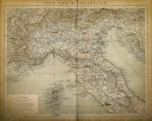
Background imageCountry Geographic Area Collection: Upper and Central Italy

Upper and Central Italy
Antique illustration of a Upper and Central Italy

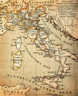
Background imageCountry Geographic Area Collection: Italy

Italy
Antique illustration of Italy

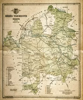
Background imageCountry Geographic Area Collection: Bekes map

Bekes map
Illustration of a Bekes map

Background imageCountry Geographic Area Collection: Belgium and Luxembourg

Belgium and Luxembourg
Antique illustration map of Belgium and Luxembourg

Background imageCountry Geographic Area Collection: Headless Buddha Statue in Angkor Wat Temple, Siem Reap, Cambodia

Headless Buddha Statue in Angkor Wat Temple, Siem Reap, Cambodia

Background imageCountry Geographic Area Collection: The Library of Angkor Wat, Siem Reap, Cambodia

The Library of Angkor Wat, Siem Reap, Cambodia

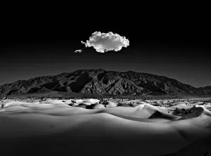
Background imageCountry Geographic Area Collection: Moonlight Serenade

Moonlight Serenade
Mesquite dunes of death valley with the Amargosa Mountains in the distance. Curves, patterns, and shadows captured and contrasted in the moonlight

Background imageCountry Geographic Area Collection: Wisconsin State Capitol - Capital in Spring

Wisconsin State Capitol - Capital in Spring, surrounded by a sea of blooming tulips

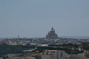
Background imageCountry Geographic Area Collection: View of Victoria town in Gozo, Malta

View of Victoria town in Gozo, Malta

Background imageCountry Geographic Area Collection: Shape and national flag of the United States of America, USA, levitating, 3D computer graphics

Shape and national flag of the United States of America, USA, levitating, 3D computer graphics

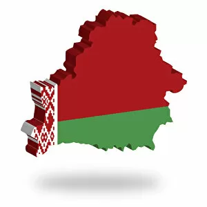
Background imageCountry Geographic Area Collection: Shape and national flag of the Republic of Belarus, levitating, 3D computer graphics

Shape and national flag of the Republic of Belarus, levitating, 3D computer graphics

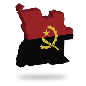
Background imageCountry Geographic Area Collection: Shape and national flag of Angola, levitating, 3D computer graphics

Shape and national flag of Angola, levitating, 3D computer graphics

Background imageCountry Geographic Area Collection: Shape and national flag of Aruba, 3D computer graphics

Shape and national flag of Aruba, 3D computer graphics

Background imageCountry Geographic Area Collection: Shape and national flag of Albania, levitating, 3D computer graphics

Shape and national flag of Albania, levitating, 3D computer graphics

Background imageCountry Geographic Area Collection: Shape and national flag of Burkina Faso, 3D computer graphics

Shape and national flag of Burkina Faso, 3D computer graphics

Background imageCountry Geographic Area Collection: Shape and national flag of Bahrain, 3D computer graphics

Shape and national flag of Bahrain, 3D computer graphics

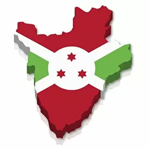
Background imageCountry Geographic Area Collection: Shape and national flag of Burundi, 3D computer graphics

Shape and national flag of Burundi, 3D computer graphics

Background imageCountry Geographic Area Collection: Shape and national flag of the Republic of Cyprus, levitating, 3D computer graphics

Shape and national flag of the Republic of Cyprus, levitating, 3D computer graphics

Background imageCountry Geographic Area Collection: Shape and national flag of Cameroon, 3D computer graphics

Shape and national flag of Cameroon, 3D computer graphics

Background imageCountry Geographic Area Collection: North Carolina, NC, highlighted on a contour map of USA, United States of America, 3D illustration

North Carolina, NC, highlighted on a contour map of USA, United States of America, 3D illustration

Background imageCountry Geographic Area Collection: State of New York, NY, highlighted on a contour map of USA, United States of America

State of New York, NY, highlighted on a contour map of USA, United States of America, 3D illustration

Background imageCountry Geographic Area Collection: Headless Buddha Statue in Angkor Wat Temple, Siem Reap, Cambodia

Headless Buddha Statue in Angkor Wat Temple, Siem Reap, Cambodia

Background imageCountry Geographic Area Collection: Fountain tail, GoiAas, Brazil

Fountain tail, GoiAas, Brazil
Tail fountain built in 1778 is located in Brazil Fallen Square in the city of Goias, State of Goias. It is the only fountain of Syrup of Brazil

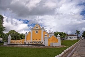
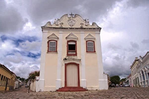
Background imageCountry Geographic Area Collection: Church of Our Lady of the Good Death

Church of Our Lady of the Good Death
Church of the Good Death with Baroque architecture in the historical city of GoiAas, state of GoiAas, Brazil

Background imageCountry Geographic Area Collection: Church of Our Lady of the Good Death, GoiAas

Church of Our Lady of the Good Death, GoiAas
Church of the Good Death with Baroque architecture in the historical city of GoiAas, state of GoiAas, Brazil

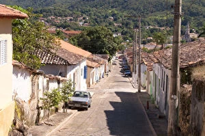
Background imageCountry Geographic Area Collection: Street of GoiAas Brazil

Street of GoiAas Brazil
View of street with paving stone city of Goias, State of Goias. Brazil

Background imageCountry Geographic Area Collection: City street Goias Brazil

City street Goias Brazil
Street view of the historical city of Goias in the state of Goias, Brazil

Background imageCountry Geographic Area Collection: View of the city of Goias Brazil

View of the city of Goias Brazil
Panoramic View of the city of Goias, State of Goias. Brazil.Vista Panoramica da cidade de Goias, no estado do Goias. Brasil

Background imageCountry Geographic Area Collection: The Bridge on the Red River Goias Brazil

The Bridge on the Red River Goias Brazil
View of the Red River Bridge over the Red River that crosses the city of Goias, State of Goias, Brazil.Vista da ponte do Rio Vermelho sobre o Rio Vermelho que cruza a cidade do Goias

Background imageCountry Geographic Area Collection: Historica city of Goias Brazil

Historica city of Goias Brazil
Street view of the historical city in the state of Goias Goias, Brazil.Vista de rua da cidade histAorica Goias no estado de GoiAas, Brasil

Background imageCountry Geographic Area Collection: Bratten building

Bratten building at Bryggen street, part of UNESCO World Heritage Site from a low angle view with clear blue sky in the background


For sale as Licensed Images

Choose your image, Select your licence and Download the media

"Exploring the World: A Journey through Country Geographic Areas" Embark on a visual voyage as we delve into the diverse and captivating country geographic areas that have shaped our world. From the enchanting Map of Portugal, with its intricate coastlines and charming towns, to witnessing the mesmerizing sunrise over Angkor Wat in Siem Reap, Cambodia – these snapshots transport us to breathtaking destinations. Discover the vastness of America with a highly detailed USA Road Map, guiding us through its sprawling highways and hidden gems. Marvel at China's vast territory captured in an awe-inspiring map that showcases its rich history and cultural heritage. Transport yourself back in time with lithographs like the Map of Netherlands from 1877 or Peru's historical map from 1897, offering glimpses into bygone eras. Journey through time as you explore United States South West Central map from 1897, envisioning how this region has evolved over centuries. Immerse yourself in Costa Rica's Vector Map, highlighting its lush rainforests and vibrant biodiversity. Delve into history with Austro-Hungarian Empire's Habsburg Monarchy lithograph or Ancient Persia's intricately designed map published in 1877. Lastly, be captivated by Sweden and Norway's shared beauty showcased in a lithograph published in 1878 or embark on an exploration of Balkan Peninsula depicted during an important period in history - 1878. Join us on this extraordinary journey across continents as we celebrate the diversity and magnificence found within each country geographic area. Let these maps ignite your wanderlust and inspire your next adventure.