
Dominium Collection
"Exploring the Complexities of Dominium: A Glimpse into Santo Domingo's History" Step into the intriguing world of Dominium


For sale as Licensed Images
Choose your image, Select your licence and Download the media
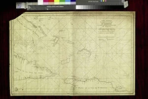
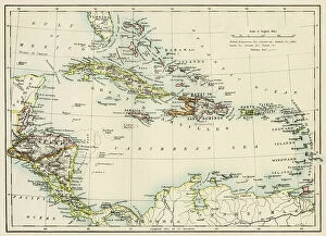
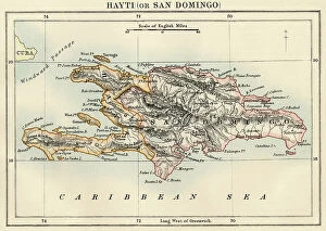
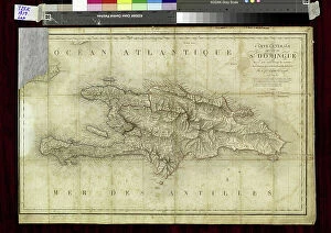
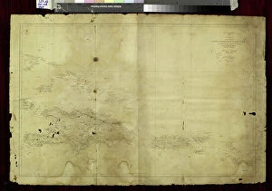
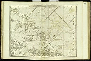
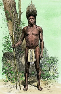
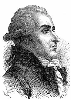
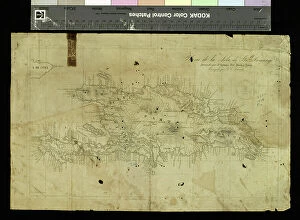
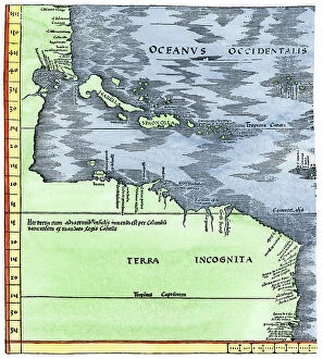
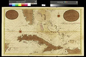
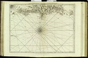
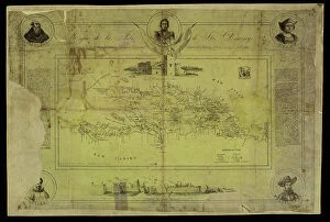
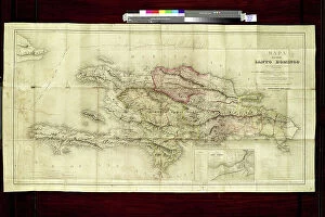
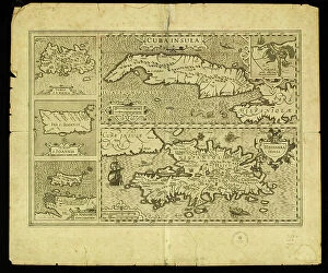
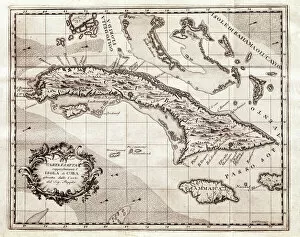
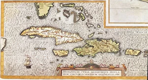
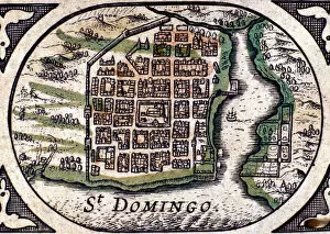
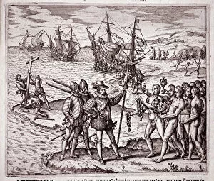
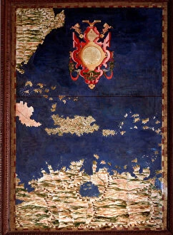
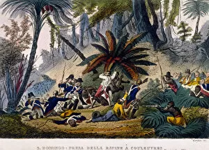
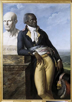
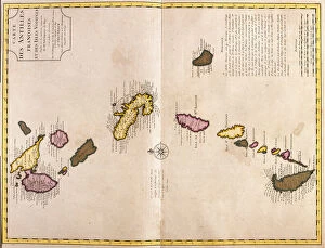
"Exploring the Complexities of Dominium: A Glimpse into Santo Domingo's History" Step into the intriguing world of Dominium, a term that encapsulates the rich and tumultuous history of Santo Domingo. Through various captivating portraits and engravings, we are transported to different eras, shedding light on the lives and struggles of those who inhabited this Caribbean island. One such portrait introduces us to Eustache dit Belin, known as "the good black, " a remarkable slave turned writer in 18th-century Santo Domingo. His story is one of resilience and intellectual prowess amidst adversity, challenging societal norms. In another striking image, Mademoiselle Desgots captivates us with her musical talent at the harpsichord while her slave Laurent stands by her side. This depiction raises questions about power dynamics within households during that era - a glimpse into an intricate web woven by social hierarchies. The engraving depicting the execution of a settler during the revolt in Santo Domingo serves as a stark reminder of the violent uprisings that shaped its history. It speaks volumes about resistance against oppression and highlights how these events reverberated throughout Central America and the Antilles. The Slave Rebellion in Santo Domingo from 1802-1804 further unveils stories untold; tales of bravery and determination as enslaved individuals fought for their freedom. These acts challenged dominant narratives surrounding slavery at that time. Mademoiselle Desgots reappears in yet another portrait alongside her loyal slave Laurent. The juxtaposition between their positions invites contemplation on relationships forged under complex circumstances - bonds formed out of necessity or genuine connection? Maps offer glimpses into geographical realities; they reveal how Santo Domingo was situated among other islands within both Greater Antilles and Lesser Antilles in the Caribbean Sea. They remind us that this island was not isolated but rather part of a larger tapestry of colonialism and exploration.