
Farm Close Collection (#3)
Discover the charm of farm life at Farm Close


For sale as Licensed Images
Choose your image, Select your licence and Download the media
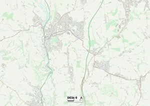
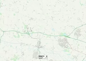
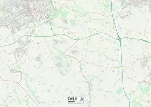
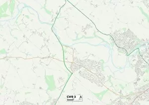
Discover the charm of farm life at Farm Close. 🌾🐄 Located in various picturesque locations across the UK, including Sussex, Tamworth, Solihull, Cannock Chase, North Yorkshire, Stevenage, Bedford, Enfield, Horsham, Wolverhampton and Hertsmere. 🗺️ Escape to the countryside and immerse yourself in the beauty of nature with our stunning farms. Whether you're looking for a peaceful retreat or an educational experience for your family, it has it all. In Sussex (PO18 8 Map), enjoy breathtaking views as you stroll through lush green fields and interact with friendly farm animals. Let your children's imaginations run wild as they learn about sustainable farming practices. Tamworth (B79 8 Map) offers a unique opportunity to witness traditional farming techniques firsthand. Get hands-on experience milking cows or collecting fresh eggs from happy hens - an unforgettable adventure for all ages. Solihull (B92 9 Map) boasts rolling hills and idyllic landscapes that will transport you into a world of tranquility. Take part in seasonal activities like fruit picking or pumpkin carving while creating lasting memories with loved ones. Cannock Chase (WS15 2 Map) is perfect for those seeking outdoor adventures. Explore vast woodland areas on horseback or embark on scenic hikes through enchanting forests - an ideal destination for nature enthusiasts. North Yorkshire (YO14 9 Map) presents a charming blend of rustic beauty and agricultural heritage. Experience life on a working farm by assisting farmers during daily chores or simply relish in the serenity surrounding you. Stevenage (SG1 1 Map) offers urban dwellers a chance to escape city life without venturing too far away. Discover organic produce markets where you can indulge in locally sourced delicacies while supporting local farmers.