
First Modern Atlas Collection
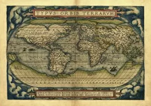
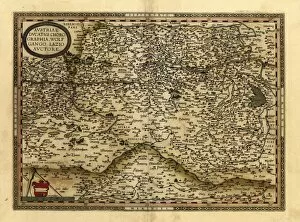
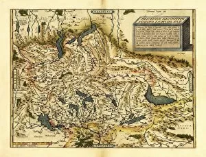
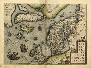
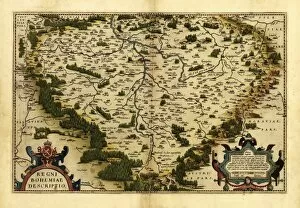
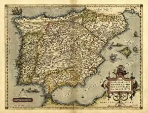
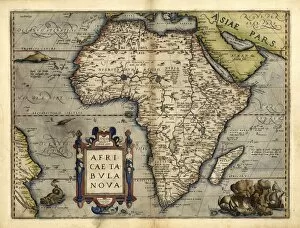
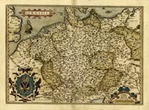
In 1570, the world witnessed a groundbreaking achievement in cartography with the release of Abraham Ortelius's first modern atlas
For sale as Licensed Images
Choose your image, Select your licence and Download the media
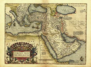
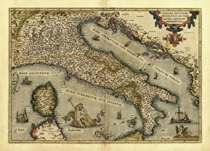
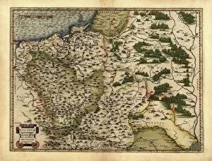
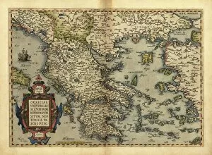
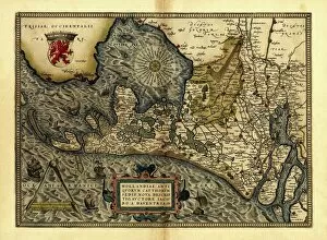
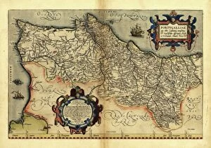
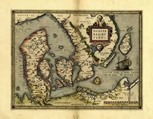
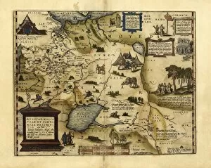
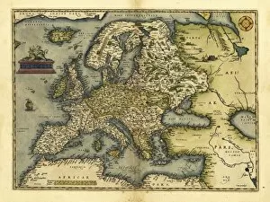
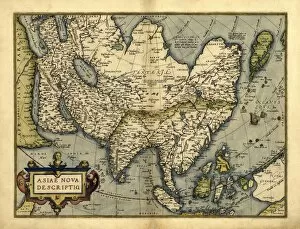
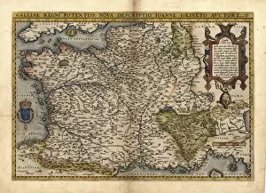
In 1570, the world witnessed a groundbreaking achievement in cartography with the release of Abraham Ortelius's first modern atlas. This remarkable collection of maps provided an unprecedented level of detail and accuracy, revolutionizing the way people perceived and understood geography. Among the notable maps featured in this pioneering atlas was Ortelius's depiction of the Ottoman Empire. With intricate lines and meticulous labeling, he captured the vast expanse and diverse regions that comprised this powerful empire. Similarly, his map of Italy showcased its rich history and cultural heritage, highlighting its various city-states and iconic landmarks. Ortelius also turned his attention to Poland, Greece, Holland, Portugal, Denmark, European Russia - meticulously documenting their borders and topographical features. His map of Europe offered a comprehensive view of the continent's political divisions during that time period while his map of Asia unveiled its exotic landscapes and kingdoms. One cannot overlook Ortelius's ambitious endeavor to create a world map that encompassed all known territories at that time. This masterpiece not only displayed continents but also oceans with astonishing precision for its era. It served as a testament to human curiosity about distant lands yet unexplored. The publication of this first modern atlas marked a turning point in cartographic history by providing an invaluable resource for scholars, explorers, merchants - anyone seeking knowledge about our planet's intricacies. It allowed individuals to visualize far-off places they had only heard tales about or imagined through hearsay. Ortelius’s work paved the way for future generations of geographers who would build upon his foundation using advanced techniques such as satellite imagery or digital mapping systems we have today. Nevertheless, the significance remains undiminished.