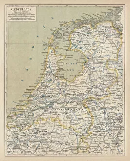
Friesland Netherlands Collection
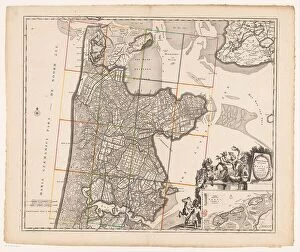
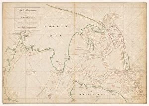
Map of Noord-Holland, Texel, Vlieland, Terschelling, part of Friesland... 1712. Creator: Isaak de Graaf
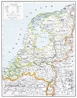
Map of Noord-Holland, Texel, Vlieland, Terschelling, part of Friesland and the surrounding sandbanks, 1712. Top left, cartouche with the title Texel en Flie-stroom (Texel and the Flie-stream)
For sale as Licensed Images
Choose your image, Select your licence and Download the media