
Frontiers Collection (#2)
"Exploring Frontiers: From Scotland to the Middle East, a Journey Through Time" Embarking on a captivating journey through history and geography


For sale as Licensed Images
Choose your image, Select your licence and Download the media
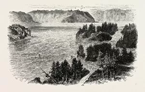
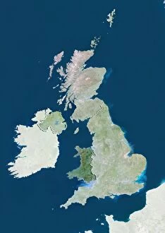
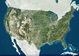
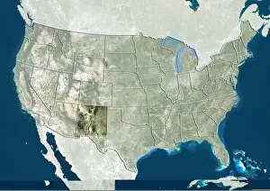
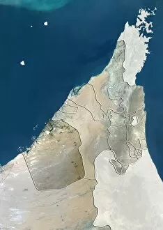
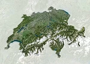
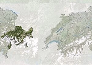
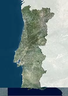
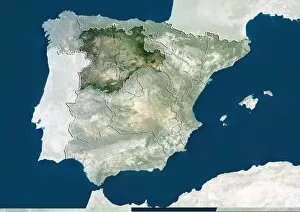
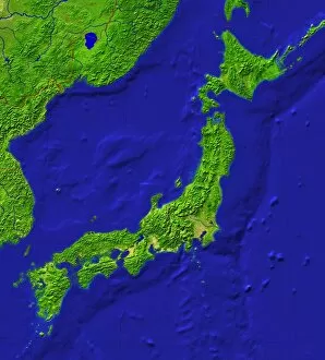
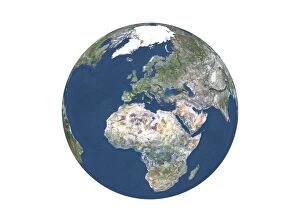
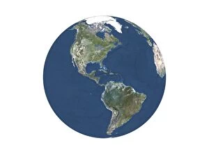
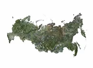
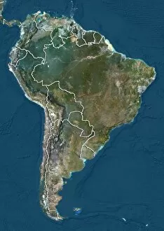
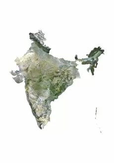
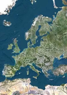
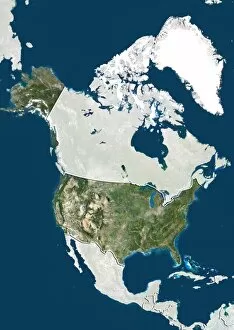
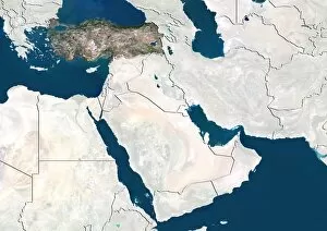
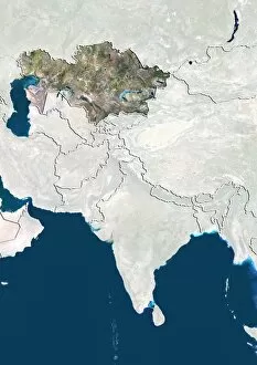
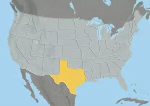
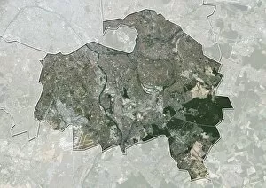
"Exploring Frontiers: From Scotland to the Middle East, a Journey Through Time" Embarking on a captivating journey through history and geography, we delve into the concept of frontiers. Starting in Scotland, UK, our satellite image reveals breathtaking landscapes that have witnessed countless tales of exploration and conquest. Tracing back to 1807, we uncover a map depicting Europe after the Peace of Tilsit. This pivotal moment shaped new frontiers and reshaped nations across the continent. Moving further eastward, another satellite image showcases the ever-evolving landscape of the Middle East – an intricate web of cultural diversity and historical significance. Amidst these frontiers lie moments worth celebrating. Lord Kitchener's congratulations to Sir John French symbolize triumphs achieved amidst challenging circumstances. Meanwhile, Majorca offers a serene escape where frontiers blur as travelers immerse themselves in its beauty. The First World War brought about significant changes along Austro-Italian frontier lines. A map from around 1920 illustrates this transformation - borders redrawn as consequences unfolded. Colonial Africa also experienced frontier delimitation between France and Germany; boundaries that left lasting imprints on African nations' destinies. In post-war Europe, PanGermanic and AntiGermanic plans for division emerged – visions that would shape future frontiers yet again. The Buffalora Bridge spanning Ticino River stands as both a physical connection between Piedmont and Lombardy but also as a metaphorical bridge connecting diverse cultures across their respective frontiers. Stepping back in time to 18th century France brings us to an inn where travelers dine together at a restaurant - transcending language barriers while embracing shared experiences across national frontiers. Lastly, Luxemburg's engraving presents us with an intriguing perspective on how France and Germany's intertwined histories influenced their respective territories' delicate balance along their common frontier lines. Frontier exploration is not merely about geographical boundaries; it encompasses the human spirit's relentless pursuit of knowledge, connection, and understanding.