
Harold Road Collection
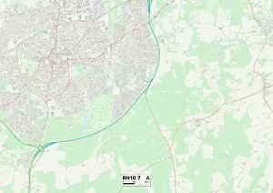
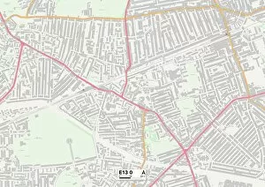
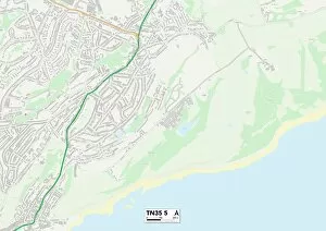
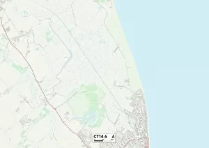
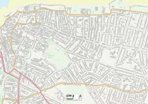
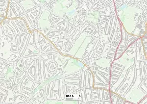
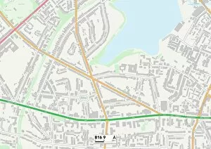
"Harold Road: A Journey Through Diverse Landscapes" From the bustling streets of Newham E13 to the serene coastal town of Hastings TN35


For sale as Licensed Images
Choose your image, Select your licence and Download the media
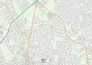
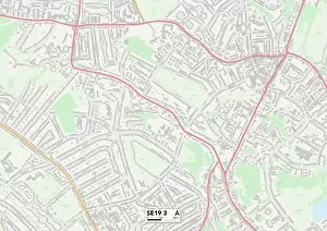
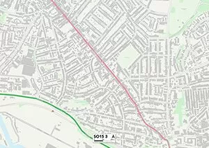
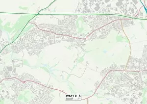
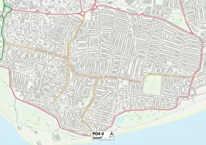
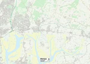
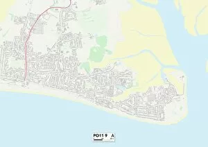
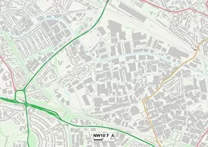
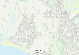
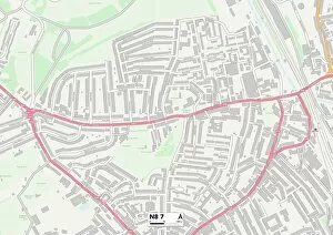
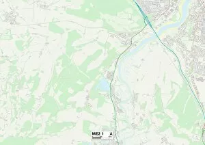
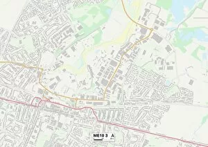
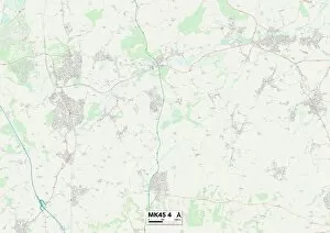
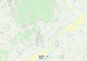
"Harold Road: A Journey Through Diverse Landscapes" From the bustling streets of Newham E13 to the serene coastal town of Hastings TN35, Harold Road takes you on a captivating journey through various landscapes. As you navigate through Croydon SE19 and Sutton SM1, you'll find yourself immersed in vibrant communities that blend history with modernity. The maps guide your way, revealing hidden gems and local treasures along the road. Southampton SO15 welcomes you with open arms, offering a rich maritime heritage and a lively waterfront scene. Further west in Berkshire RG17 9, picturesque countryside unfolds before your eyes - an idyllic escape from city life. Heading north towards St. Helens WA11 0 brings a change of pace as industrial charm meets natural beauty. Explore the nearby Lancashire countryside or venture into bustling cities like Manchester or Liverpool. Hampshire beckons with its diverse offerings - from the coastal delights of PO4 0 to the quaint villages nestled within PO10 8 and PO11 Each stop along Harold Road showcases Hampshire's unique character and stunning landscapes. Crossing over into Monmouthshire NP7 7 introduces breathtaking vistas dotted with historic castles and charming market towns. Immerse yourself in Welsh culture as you explore this enchanting region. Finally, Brent NW10 7 awaits at the end of this remarkable journey - a vibrant London borough brimming with cultural diversity and urban energy. No matter where Harold Road takes you, each destination offers its own distinct flavor, inviting exploration and discovery at every turn. So grab your map and embark on an unforgettable adventure down Harold Road.