
Human Settlement Collection (#26)
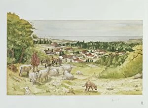
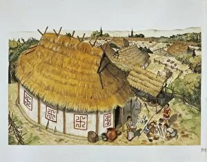
"Exploring the Tapestry of Human Settlement: From Victorian London's Shady Lanes to Ancient Anatolia and Beyond" Step into the shadows of Victorian London


For sale as Licensed Images
Choose your image, Select your licence and Download the media
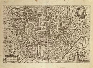
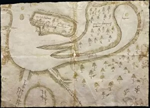
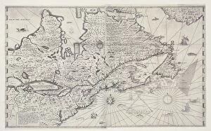
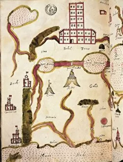
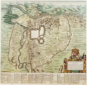
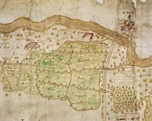
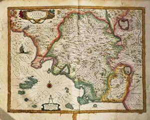
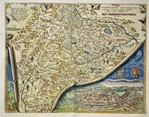
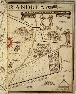
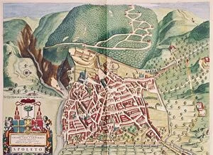
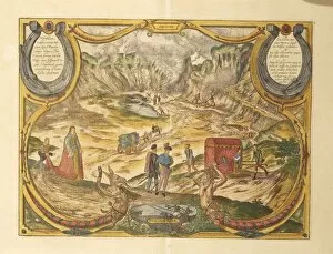
"Exploring the Tapestry of Human Settlement: From Victorian London's Shady Lanes to Ancient Anatolia and Beyond" Step into the shadows of Victorian London, a city teeming with intrigue and mystery. Its dimly lit streets hold secrets untold, inviting you to unravel tales of bygone eras. Venturing across continents, discover Buenos Aires on a map that reveals its vibrant soul. Overlayed with illustrations of sea gulls, penguins, elephant seals, shrimp, and buildings - witness the harmonious coexistence between nature and human settlement in this bustling metropolis. Journey back in time to Catal Huyuk in ancient Anatolia; an archaeological marvel from 6500 BC. Marvel at the ingenuity of our ancestors as they built a thriving community amidst challenging landscapes. Find solace along Northern Ireland's picturesque coastline adorned with wide sandy beaches in Ballycastle. Let the tranquil waves whisper stories of resilience and beauty shaped by centuries of human habitation. Unveil history through a 19th-century map showcasing Madras (Chennai), India. Witness how this vibrant city has evolved over time while retaining its rich cultural heritage. Stand atop Hags Head at Cliffs of Moher in County Clare, Ireland; let your gaze wander across breathtaking vistas that have inspired generations. Feel the connection between humans and their surroundings etched into every cliff face. Immerse yourself in Connemara's enchanting landscape within County Galway; where Clifden stands as a testament to man's ability to thrive amidst rugged terrain. Admire how they are seamlessly blend with nature's grandeur. Gaze upon gargoyles adorning Notre Dame Cathedral in Paris; these stone guardians symbolize humanity's desire for protection against unseen forces while adding an air of mystique to architectural wonders. Explore Hull on a map that unravels its urban tapestry - tracing paths forged by countless individuals who have called this city home.