
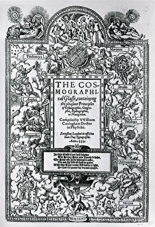
Hydrography Collection
Hydrography, the science of mapping and charting bodies of water, has played a crucial role in our understanding of the world's oceans and their intricate features


For sale as Licensed Images
Choose your image, Select your licence and Download the media
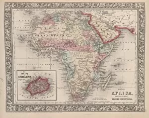
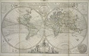
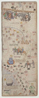
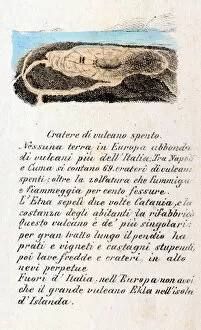
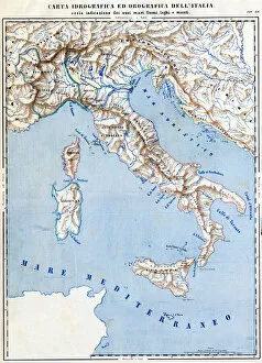
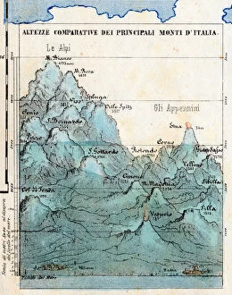
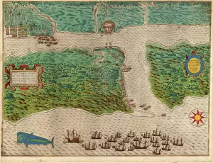
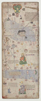
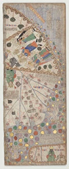
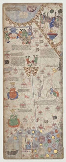
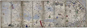
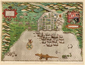
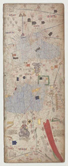
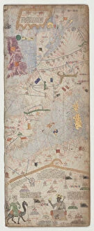
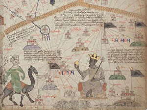
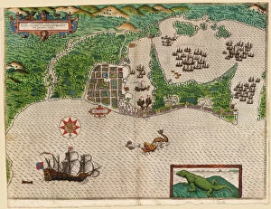
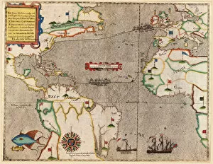
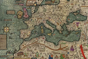
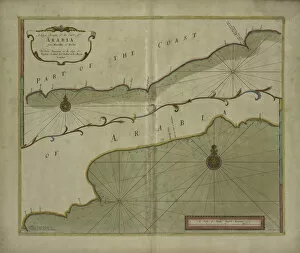
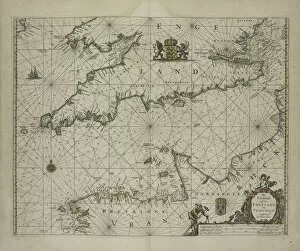
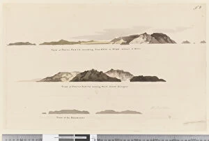
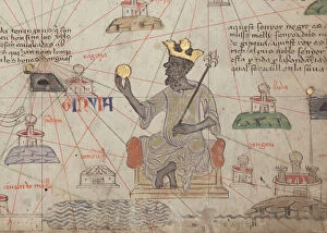
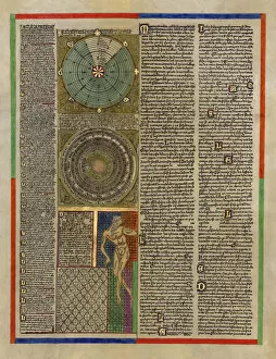
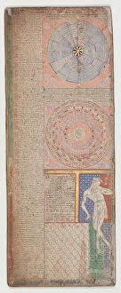
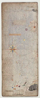
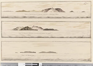
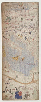
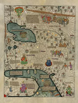
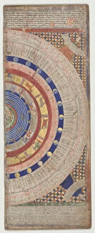
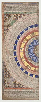
Hydrography, the science of mapping and charting bodies of water, has played a crucial role in our understanding of the world's oceans and their intricate features. From the vast expanse of Africa to the remote islands dotting its coastlines, hydrographic maps have revealed fascinating discoveries that continue to captivate us. One such map showcases Africa's most recent findings, highlighting its diverse hydrographic landscape. The Island of St stands out prominently on this map, serving as a testament to both human exploration and nature's wonders. This map is part of a larger collection titled "A new and correct map of the world laid down according to the newest discoveries, " which offers an up-to-date depiction of our ever-evolving planet. Delving deeper into oceanic exploration, we encounter a chart depicting an oceanic section from Madeira, Portugal to St. Vincent. This detailed representation provides invaluable information for sailors navigating these treacherous waters. Similarly, another captivating engraving captures the capture of Santiago in Cape Verde back in 1585—a vivid reminder that hydrography has not only shaped our knowledge but also influenced historical events. Traveling back centuries ago brings us face-to-face with ancient cartographic marvels like Sheet 10 from the Catalan Atlas dating back to 1375. Executed with pen and colored inks on parchment, this masterpiece transports us into a bygone era when cartographers meticulously crafted maps by hand. The power and beauty found within Earth's geological phenomena are also showcased through lithographs capturing volcanic activity off various locations such as Aeolian Islands or Volcano Crater Volcano Off—both created in Milan during 1853 using vibrant colors that bring these natural spectacles alive on paper. Cartography continues its journey through time with Hydrographic and Orographic Map of Italy—an exquisite color lithograph from 1853 revealing Italy's intricate network of rivers and mountains.