
Latin America Collection (#10)
"Exploring the Rich Tapestry of Latin America: From Olympic Protests to Ancient Civilizations" a region brimming with diverse cultures, historical landmarks


For sale as Licensed Images
Choose your image, Select your licence and Download the media
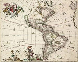
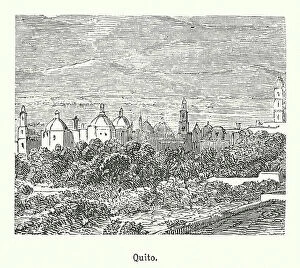
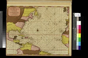
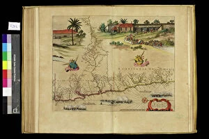
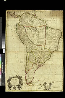
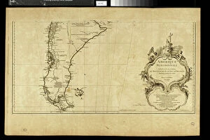
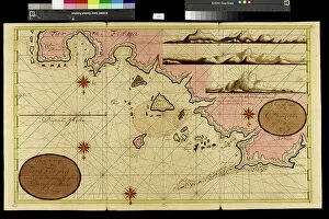
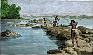
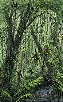
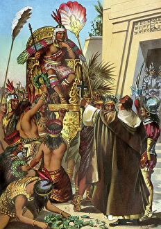
"Exploring the Rich Tapestry of Latin America: From Olympic Protests to Ancient Civilizations" a region brimming with diverse cultures, historical landmarks, and breathtaking natural wonders. In 1968, the Olympic Games in Mexico City witnessed an iconic moment when American runners Tommie Smith and John Carlos raised their fists in a Black Power salute during the medal ceremonies, highlighting social injustice. Australian Peter Norman stood by them wearing an OPHR badge in solidarity. Diego Rivera's murals at the Ministry of Public Education in Mexico City capture the essence of Latin American heritage. His masterpiece "Day of the Dead" depicts this vibrant Mexican celebration honoring departed loved ones, while "Pre-Columbian Life" showcases the rich history of Zapotec Civilization. Venturing further south to Argentina's Santa Cruz Province, we find Cueva de las Manos (Cave of Hands), adorned with ancient handprints dating back thousands of years. Meanwhile, Panama's Kuna Indians proudly display their traditional molas – intricately designed textiles representing their cultural identity. A glimpse into Cuba's past can be seen through a map printed in the United States around 1900, reflecting its complex relationship with its northern neighbor. Moving on to Ecuador's capital city Quito, Pichincha Volcano stands tall as a backdrop for this bustling metropolis. Nature lovers will be captivated by Brazil's Aquario Natural where an underwater river scene reveals freshwater plants and Tetra fish thriving harmoniously beneath Rio Baia Bonito’s crystal-clear waters. The majestic Harpy Eagle perches high above Soberania National Park in Panama while Piraputanga fish gracefully navigate Aquario Natural’s underwater landscape. No exploration would be complete without visiting Peru’s Machu Picchu – The lost city of the Inca nestled amidst awe-inspiring mountain peaks. This UNESCO World Heritage site is steeped in mystery and showcases remarkable architectural achievements from a bygone era.