
Military Topographical Depot Collection
Discover the intricacies of 19th-century Russian provincial geography with this impressive collection of General Maps


For sale as Licensed Images
Choose your image, Select your licence and Download the media
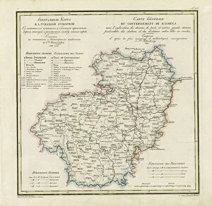
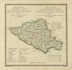
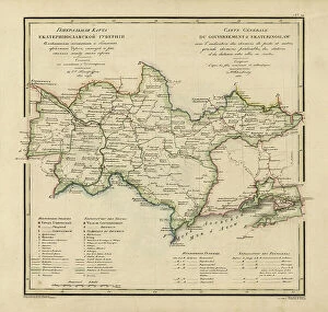
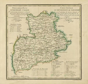
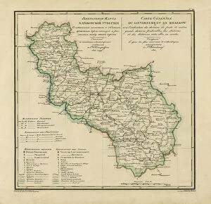
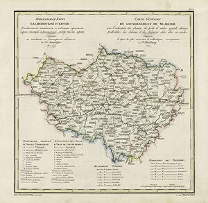
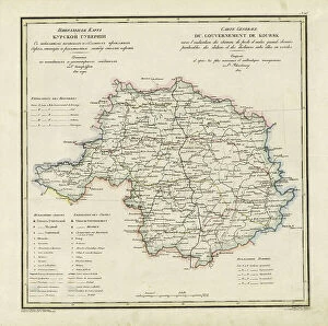
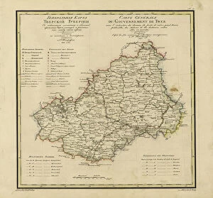
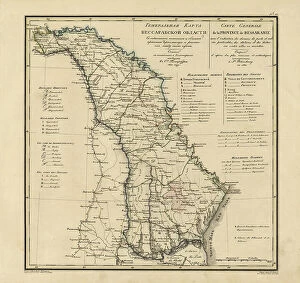
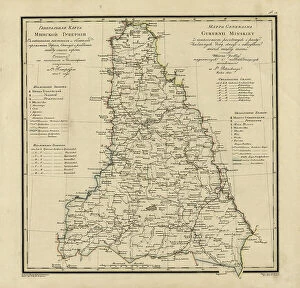
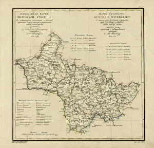
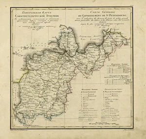
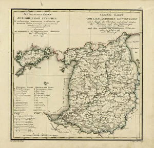
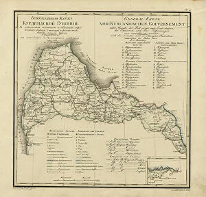
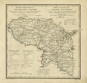
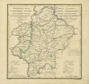
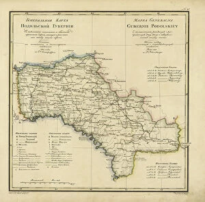
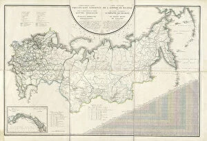
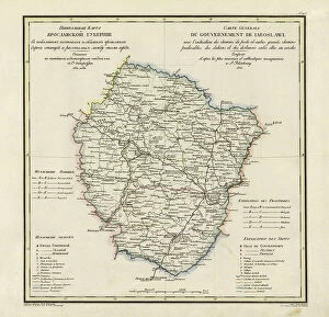
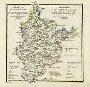
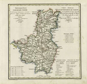
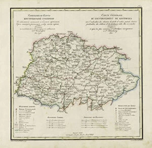
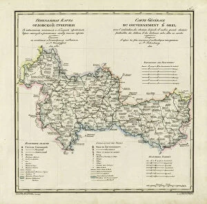
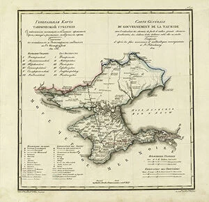
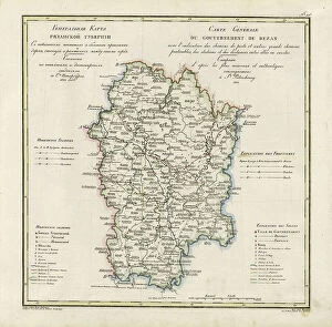
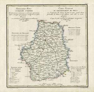
Discover the intricacies of 19th-century Russian provincial geography with this impressive collection of General Maps. Created between 1820 and 1822 by Vasilii Petrovich Piadyshev and various collaborators, these maps of Kaluga, Poltava, Ekaterinoslav, Chernigov, Kharkiv, Vladimir, Kursk, Tver, Novgorod, Bessarabia, Minsk, and Vitebsk provinces meticulously depict postal and major roads, stations, and other key landmarks. Delve into the detailed cartography of each region and explore the vast expanse of the Russian Empire during this transformative era.