
Navigator Collection (#6)
"Journeying through the Ages: Celebrating the Legacy of Navigators" From Vasco da Gama's remarkable voyage to India


For sale as Licensed Images
Choose your image, Select your licence and Download the media
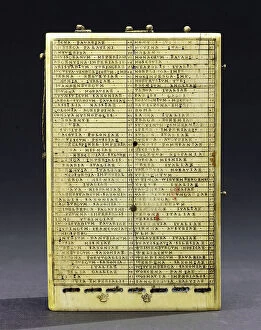
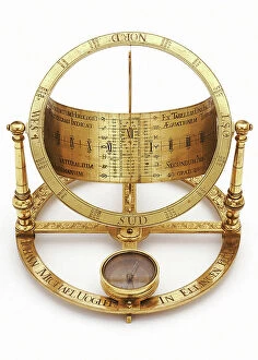
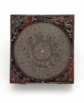
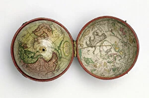
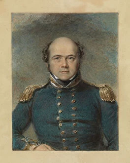
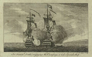
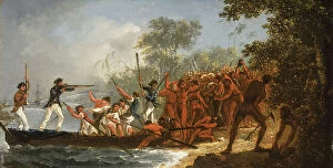
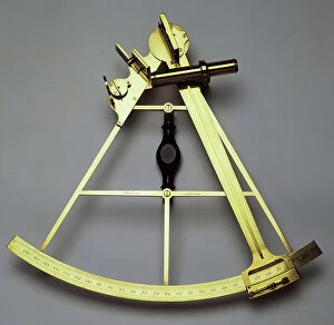
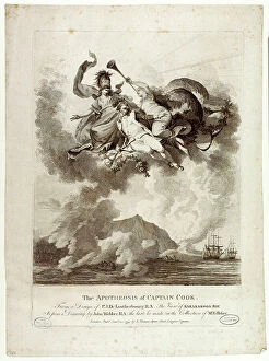
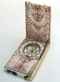
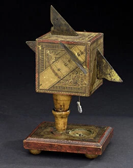
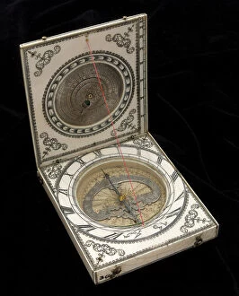
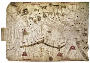
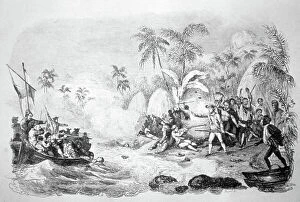
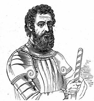
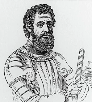
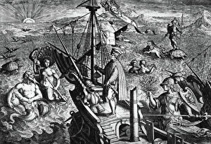
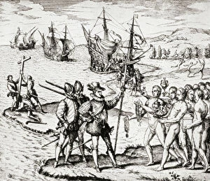
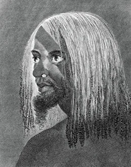
"Journeying through the Ages: Celebrating the Legacy of Navigators" From Vasco da Gama's remarkable voyage to India, to Sir Francis Drake's daring exploits as an English admiral, history has been shaped by the fearless navigators who dared to explore uncharted territories. These intrepid individuals like Christopher Columbus, whose Italian origins propelled him towards new horizons, and Raleigh with his introduction of potatoes to Ireland, have left an indelible mark on our world. Aviator John Alcock's historic transatlantic flight in 1919 showcased how navigation had evolved from sea to sky. His triumph not only symbolized human progress but also highlighted the unwavering spirit of exploration that continues to drive us forward. Artistic renditions such as "Vasco da Gama and Selika" from Giacomo Meyerbeer's opera L'Africaine capture the romantic allure associated with these adventurers. Their tales inspire us even today. Captain James Cook claiming New South Wales for the British Crown in 1770 demonstrated how navigation became a tool for colonization and expansion. Tobias Furneaux's captivating painting further immortalizes this pivotal moment in history. Maps like Willem Barentsz Third Voyage map by Cornelis Claesz serve as testaments to early cartography techniques employed by navigators seeking accurate representations of their discoveries. The meticulous attention given to detail showcases their dedication and thirst for knowledge. Sir Martin Frobisher's engravings remind us that navigating treacherous waters required both skill and courage. Similarly, Christopher Columbus' colored engraving serves as a reminder of his audacious journey across vast oceans into unknown realms. Even technological advancements are celebrated within this realm; wood engravings depicting a navigator using a sextant demonstrate how tools like these revolutionized celestial navigation during the 19th century. As we reflect upon these extraordinary figures throughout history, we honor their legacy as pioneers who defied the limitations of their time.